This is the second dispatch from the RV leg, still written from the Dark Side. The places, the photographs and the facts are real. The melodrama is not. If you missed the beginning, Part 1 covers Denver to Rock Springs.
THE DARK LORD’S LOG. DAYS FOUR TO SIX.
Every empire has one enemy it cannot defeat with a fleet, and that enemy is the weather. For the first three days of the RV leg we had a canyon, a desert and a wall of dinosaurs, and we treated the sky as scenery. Days four to six corrected that. On the first of them it rained on us in Jackson, at the Grand Teton boundary and at West Thumb. On the second, the sky gave us as bright and clear a day as anyone could ask for in Yellowstone, which is a place that deserves it. On the third there was frost on a picnic table in the morning, and by evening we were 400 miles south in a Utah campground, watching the sun go down over a valley. This dispatch is about the weather, about how to read it from what the crew is wearing, and about the enormous machine that sits under it all: the Yellowstone volcano.
The route
Fifteen numbered stops over three days, with a filled circle for each night we slept aboard. The first map shows the whole run. The second zooms in on the Teton and Yellowstone stretch, where the stops are too close together to fit on the first.
- 31 May Rock Springs: KOA, departure
- 31 May Jackson, Wyoming
- 31 May Grand Teton National Park: Teton viewpoint and Oxbow Bend
- 31 May West Thumb Geyser Basin and Yellowstone Lake
- 31 May Fishing Bridge RV Park, night 1
- 1 June LeHardy Rapids, Mud Volcano and Hayden Valley
- 1 June Artist Point: Lower Falls of the Yellowstone
- 1 June Norris Geyser Basin
- 1 June Old Faithful
- 1 June Midway Geyser Basin: Grand Prismatic Spring
- 1 June West Yellowstone: Yellowstone Grizzly RV Park, night 2
- 2 June Idaho Falls, Idaho
- 2 June Pocatello, Idaho
- 2 June Layton, Utah: Walmart supply stop
- 2 June Nephi: Rollin’ Home RV Park, night 3
Day 4 · 31 May — Kamino, With Tourists
Snow on the horizon, fuel in the tank
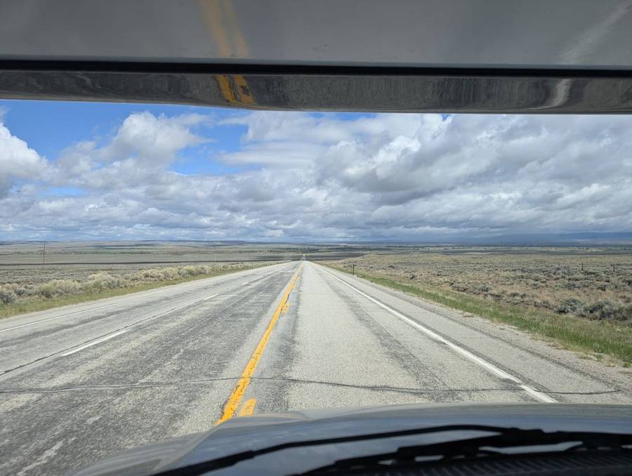
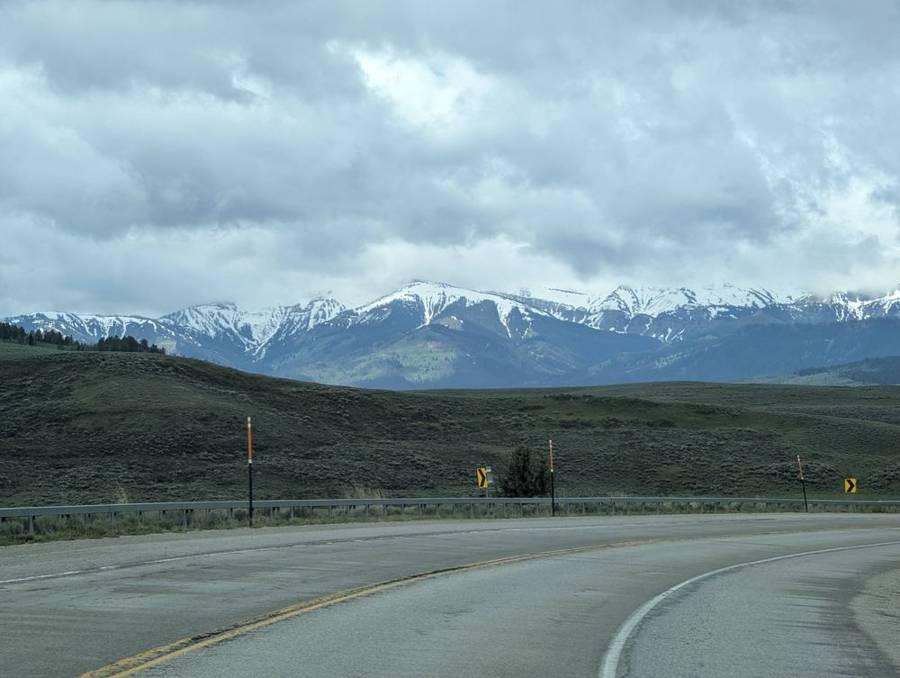
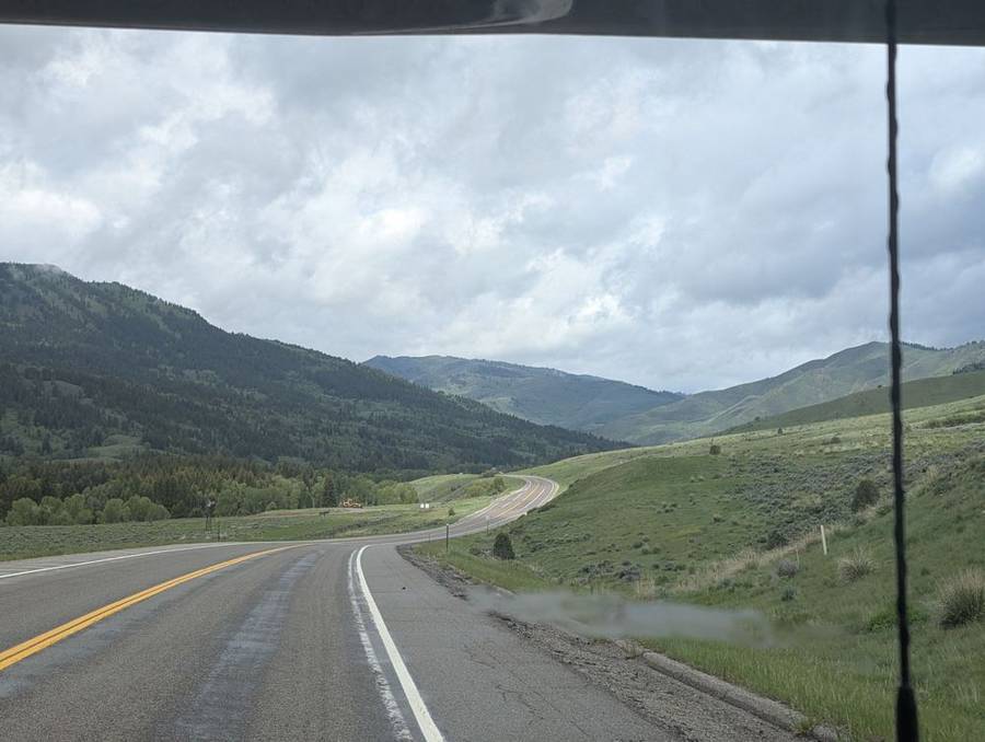
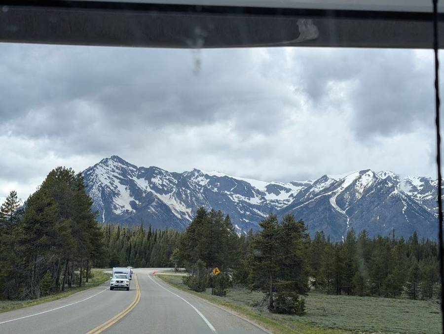
We left Rock Springs in the morning and drove north on US-191 through the high Wyoming plateau: long straight roads, sagebrush on both sides, and a sky with cloud in it but no particular threat. A fuel stop south of Pinedale kept the flagship in the habit of eating on schedule. By late morning snow-covered mountains were standing along the road near Bondurant, on the last day of May, and the road dropped into Hoback Canyon with cloud sitting low on the hills. By then it was clear which way the day was going.
Jackson in the rain
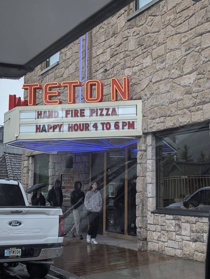
We reached Jackson around midday, and the rain had got there first. A photograph from the street outside the Teton Theatre shows wet pavement, people walking past in hoods and under an umbrella, and a neon sign advertising pizza and a happy hour. Jackson is a town that sells itself on its mountains. On this particular day the mountains had been withdrawn for maintenance.
A park that was bought and given away
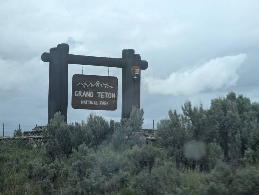
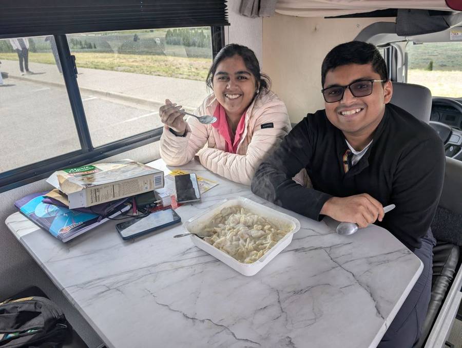
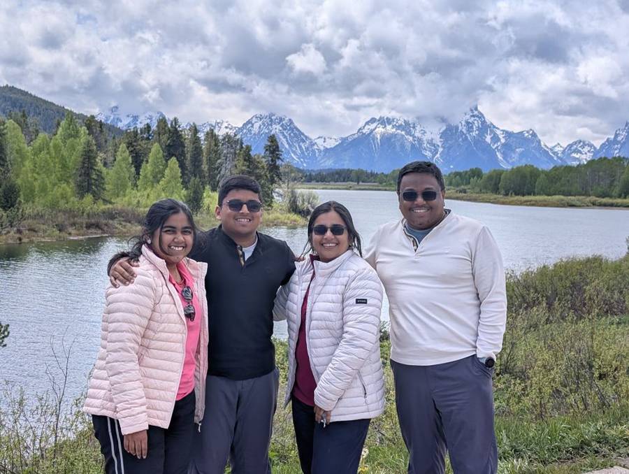
Grand Teton National Park begins a few miles north of Jackson, and the Teton Range, in theory, rises straight out of the valley floor with nothing in front of it. In practice we saw the lower half. At a roadside turnout the crew posed in puffer jackets with the mountains behind them and the cloud sitting on the summits like a lid, and then we did the sensible thing with the weather we had: we had lunch at the table inside the flagship while the cloud stayed exactly where it was. The plan had included a drive along Teton Park Road. With the views limited by the cloud, we judged it was not worth the time, and we skipped it. A Dark Lord knows when a battle is not worth the fuel.
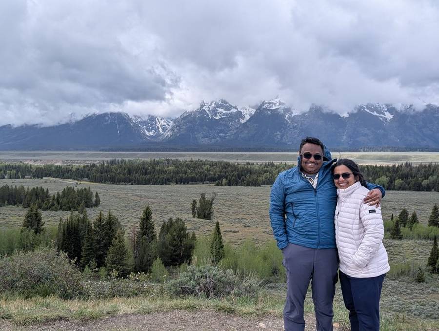
Grand Teton National Park was created by an act signed by President Calvin Coolidge on 26 February 1929, with about 96,000 acres covering the Teton Range and six glacial lakes. The valley floor, Jackson Hole, was not included at first. John D. Rockefeller Jr. visited the area in 1924 and 1926 and, through the Snake River Land Company, bought about 35,000 acres for roughly $1.4 million, intending to give it to the nation. In 1943 President Franklin D. Roosevelt proclaimed the 221,000-acre Jackson Hole National Monument, and on 14 September 1950 President Truman signed the bill that merged the two into today’s park of about 310,000 acres. The Grand Teton itself is 13,770 feet high. The range is one of the youngest in the world: the Teton Fault began lifting it less than ten million years ago, while the rock it is made of, gneiss and granite, is around 2.5 to 2.7 billion years old. The Empire would call that a very old foundation for a very young mountain.
Oxbow Bend, and the cloud lifts a little
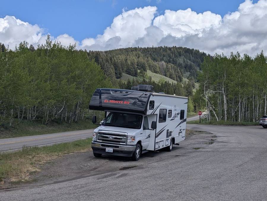
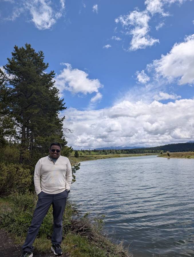
The afternoon was kinder. Further north the cloud began to break up, and the photographs from Oxbow Bend show blue sky between white clouds, the flagship parked in a turnout among aspens, and the peaks of the Teton Range standing above a calm bend in the Snake River. An oxbow is a crescent-shaped section of river lying alongside the main channel, and this one is famous for the way the mountains reflect in its water on a still day. The park lists pelicans, herons, otters, moose and bears among its residents. We saw none of them; our stops were for the scenery, and the scenery was generous enough to be going on with.
Into the caldera
North of Grand Teton the road runs into Yellowstone, which on this route means the south entrance. Yellowstone National Park was established on 1 March 1872, when President Ulysses S. Grant signed the act, and it is the world’s first national park. It also sits on top of a volcano: the Yellowstone caldera is about 30 by 45 miles across. Our first stop inside was West Thumb Geyser Basin, on the shore of Yellowstone Lake, and the weather caught up with us there: in the photographs the whole family is in rain ponchos, two of them purple and two white, standing on a boardwalk beside hot pools with steam drifting off them into a flat grey sky. The planet Kamino, you may remember, is a world of endless rain, and this was Kamino with a boardwalk.
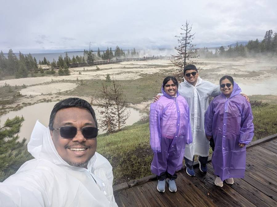
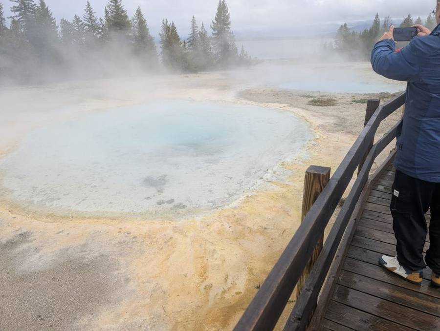
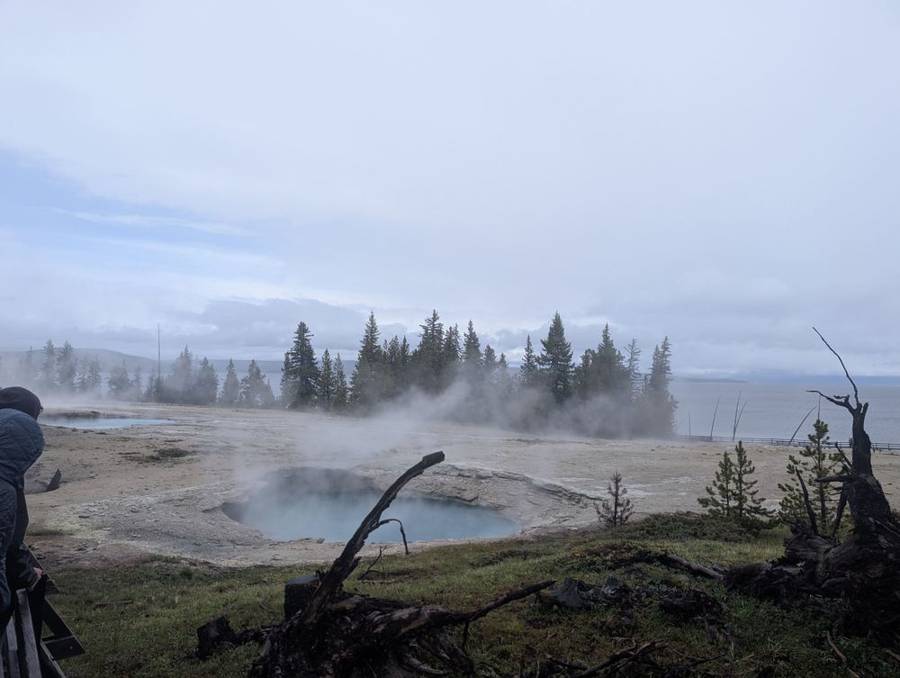
West Thumb is the largest geyser basin on the shores of Yellowstone Lake, and its features have names that are better than most: Abyss Pool, named in 1935 for its depth, and Fishing Cone, a hot spring so close to the shore that early visitors caught trout in the cold lake and cooked them on the hook in the hot water. It is now prohibited, for safety, which is a rule even the Empire would approve of. The basin is also the first Yellowstone feature ever described in print, in a letter by the trapper Daniel T. Potts in 1827.
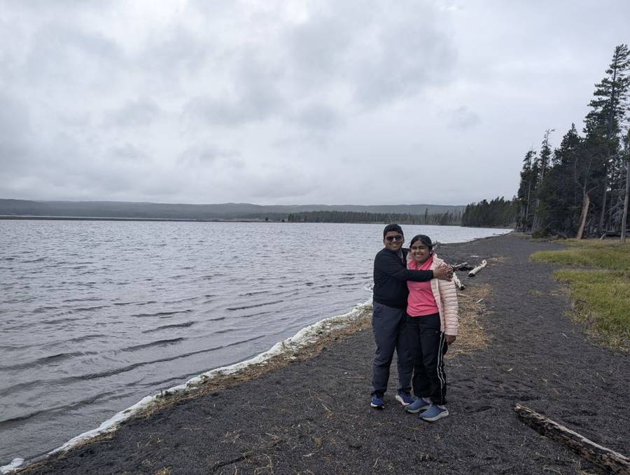
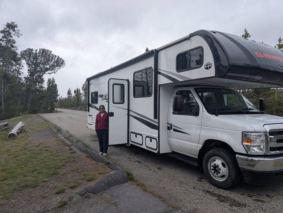
Beyond the basin lies the lake itself. Yellowstone Lake covers about 132 square miles at an elevation of 7,733 feet, which makes it the largest lake in North America above 7,000 feet. Its water averages about 41°F year-round, it freezes over in late December or early January, and it thaws in late May or early June, which means we arrived at the lake in the week it normally comes back to life. The photographs show open water, a lead-grey sky and a shoreline of dark sand where the rented flagship pulled over to be admired.
Fishing Bridge
The last stretch followed the lake’s northern shore to the Fishing Bridge area, where the Yellowstone River flows out of the lake. The bridge that gives the place its name was first built in 1902 as a rough corduroy log bridge, and the present one dates from 1937. For decades it was a place to cast a line, until overfishing of the Yellowstone cutthroat trout, which spawn in the river here, led the park to close the bridge to fishing in 1973. The trout can still be seen from it. The park describes the area as critical for grizzly bears, where lake, river and land meet and bears come to the streams in spring and early summer to feed on spawning fish. Past conflicts between bears and campers are why the RV park here takes only hard-sided vehicles and no tents. For once, the Dark Side was glad to be inside the armoured vehicle.
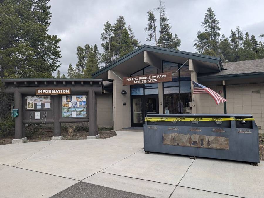
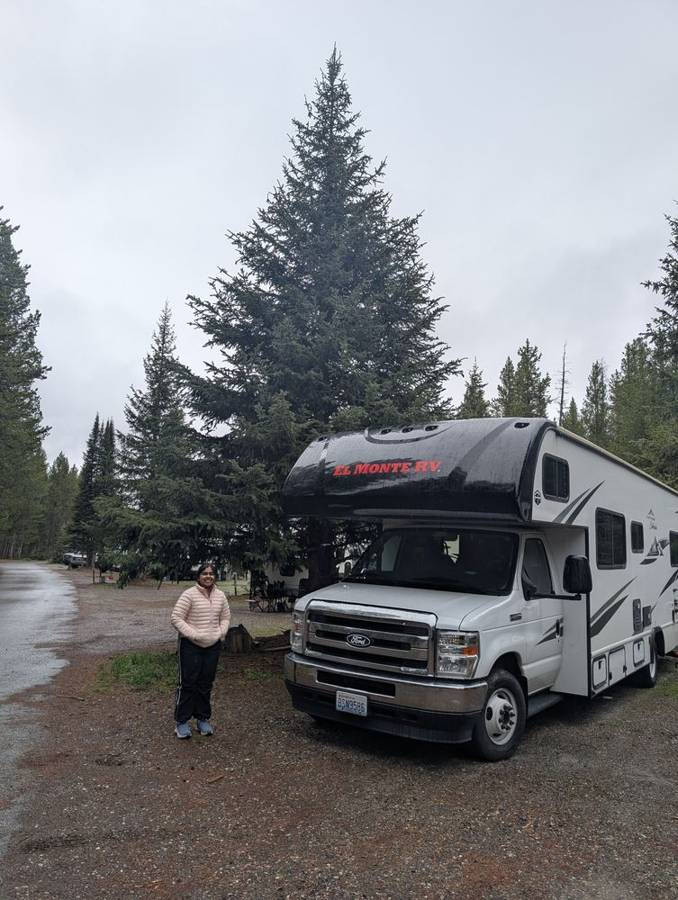
The evening was quiet. By the park’s own account there is no internet service in its campgrounds and cell coverage is limited, so dinner aboard the flagship came with no internet at all, which was a welcome change. The days are very long up here: at Fishing Bridge the sun rose a little before six and did not set until about nine, which gave us roughly fifteen hours of daylight, even under cloud.
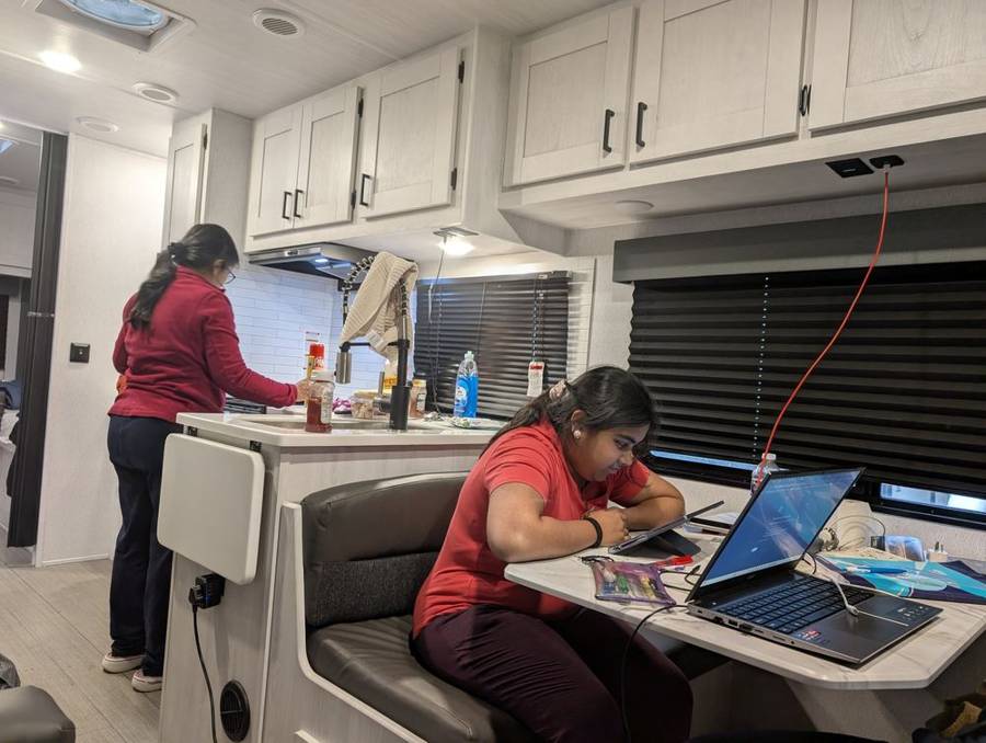
Fishing Bridge RV Park sits near the north end of Yellowstone Lake, inside the park, and is run by Yellowstone National Park Lodges. It has 310 sites with full hookups (50-amp and 30-amp electricity, water and sewer), and it takes hard-sided RVs only because of the bears. There are no fire grates and portable fire pits are not allowed. Facilities include coin-operated laundry, pay showers, flush toilets, a dump station, a recycling area and a registration building with a small shop. In 2026 it is open from 8 May to 18 October, and, unusually for the park, there is no limit on how long you can stay. Cell service is limited and there is no internet in the campground.
Day 5 · 1 June — The Planet Shows Its Hand
A very different sky
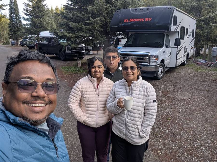
The weather changed its mind overnight. The morning of 1 June was bright and clear, and the day that followed was, as far as we could tell, as good as Yellowstone weather gets: the best possible conditions for seeing the park. The crew was still in puffer jackets at breakfast, with a mug of tea in one hand and the flagship parked behind us, since a clear morning at 7,700 feet is not the same as a warm one. The sun had been up since a little before six, and the plan for the day was simple: see as much of the planet’s inner workings as the daylight would allow, which, with a sunset around nine, was a lot.
Rapids, mud and a bison with the right of way
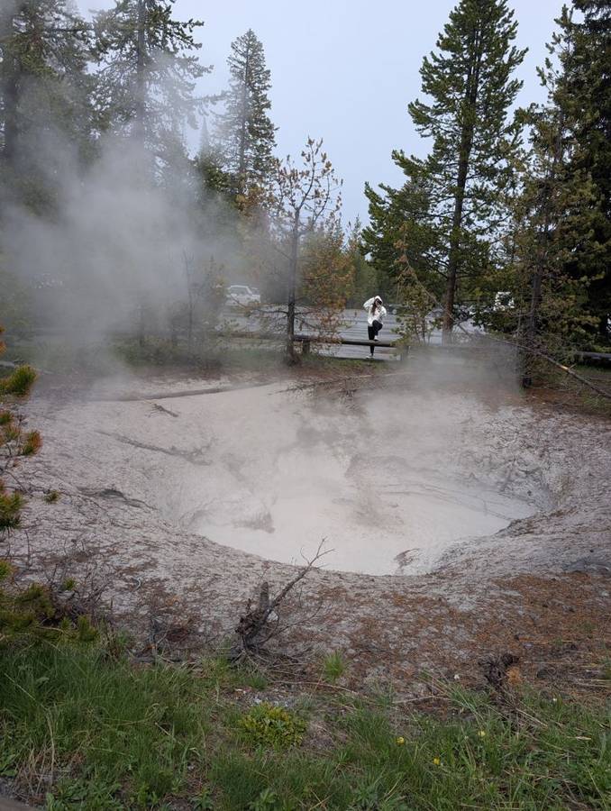
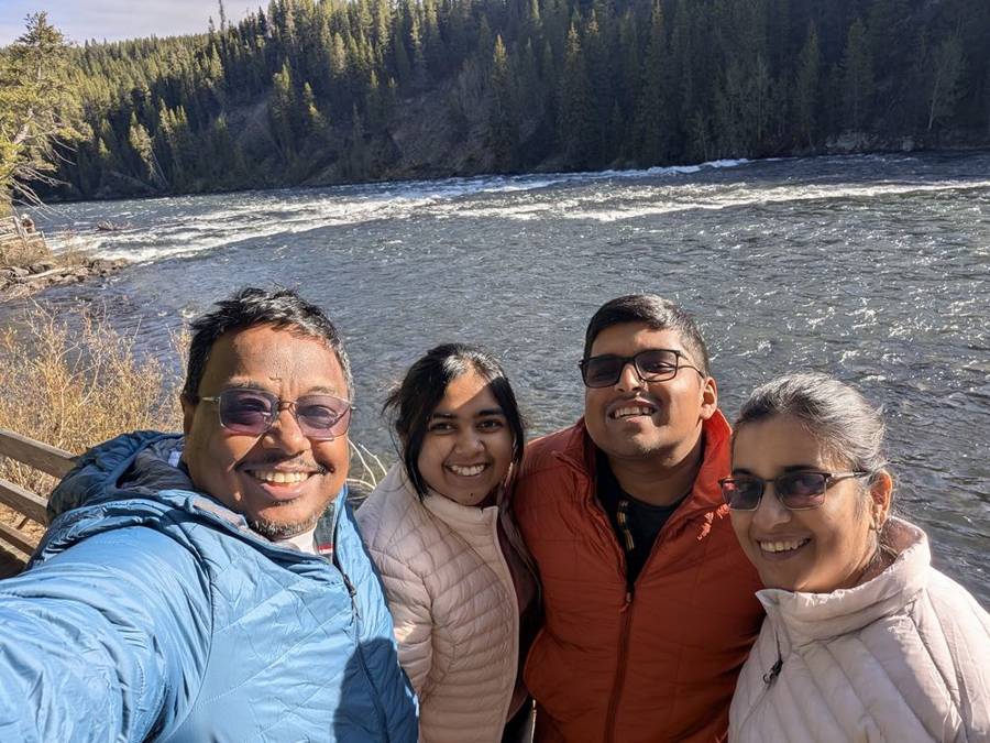
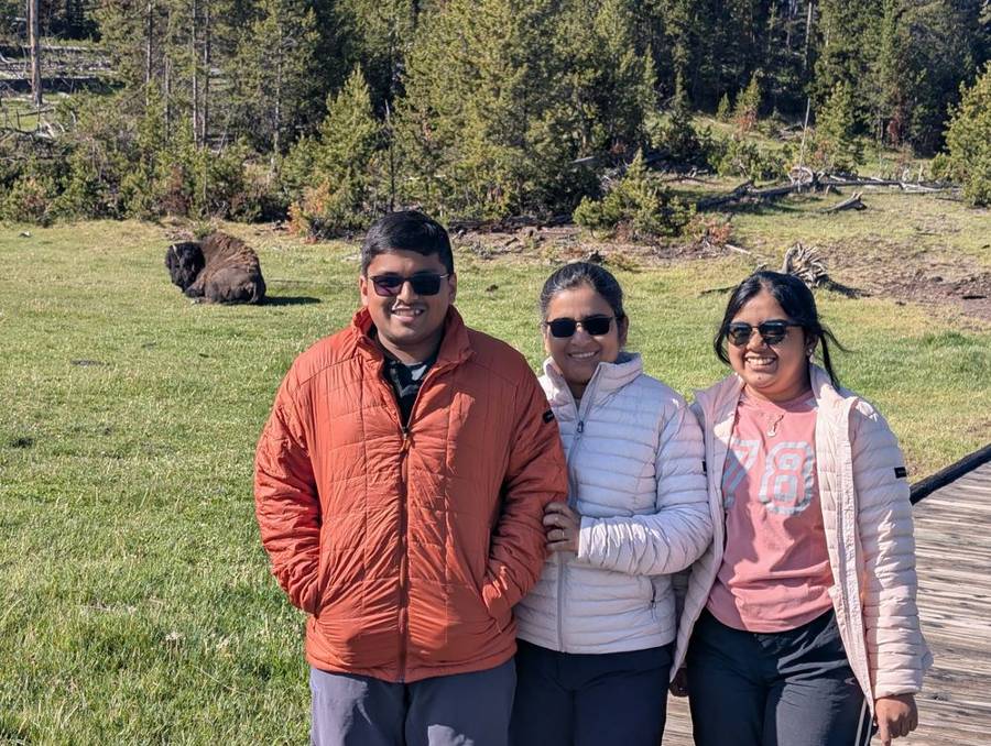
The first stop was LeHardy Rapids, about three miles north of Fishing Bridge, where the Yellowstone River runs fast and white. It is known as a place to watch trout leaping in spring. A little further on we reached the Mud Volcano area, where the features have names that sound like an Imperial weapons catalogue: Dragon’s Mouth Spring, Mud Volcano, Sulphur Caldron. These are among the most acidic features in the park, since microbes turn hydrogen sulphide gas into sulphuric acid, which breaks the rock down into clay and mud. The smell is exactly what you would expect from the chemistry, and the park itself describes it as the smell of rotten eggs. On a boardwalk in a meadow beside it, a bison grazed in the grass, and in Yellowstone the bison, which has lived here continuously since prehistoric times, always has the right of way. The park asks visitors to stay at least 25 yards from bison and 100 yards from bears and wolves. The Dark Side respects any force that outranks it.
Hayden Valley
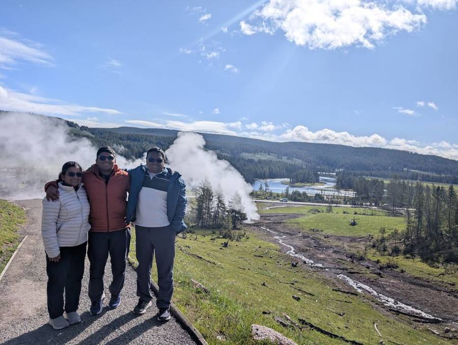
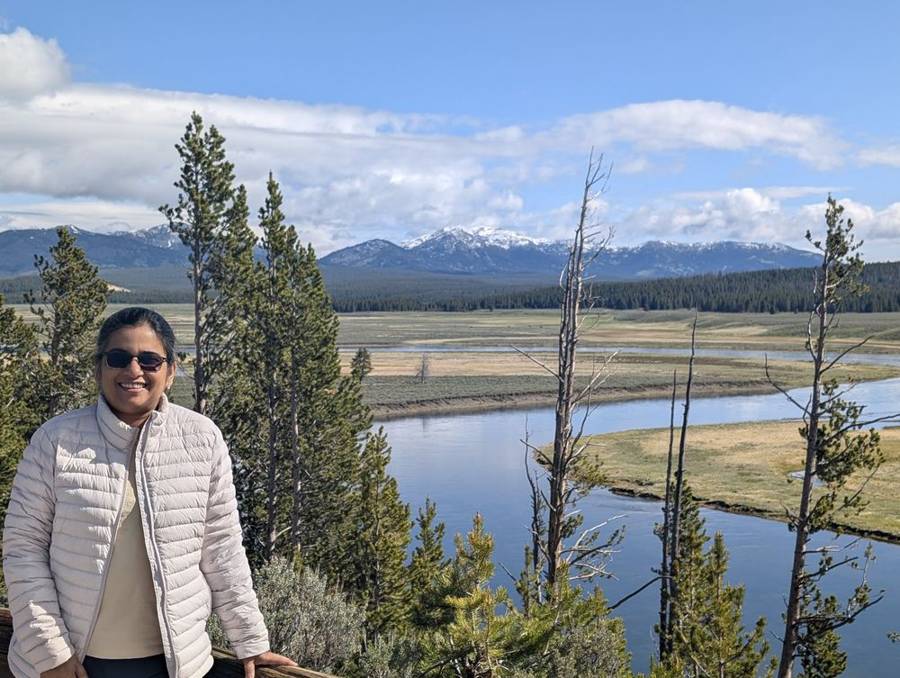
Between the lake and the canyon the road crosses Hayden Valley, a broad stretch of meadow and river that is one of the places where Yellowstone’s bison gather. We stopped at the overlooks above the Yellowstone River, in full sun, with snow-capped mountains on the horizon and the river winding in lazy bends across the flat green valley floor. There is not much to say about a valley except that it was wide, it was sunny and it was quiet. Sometimes the scenery speaks for itself, and the Dark Lord, for once, lets it.
Artist Point and the longest drop
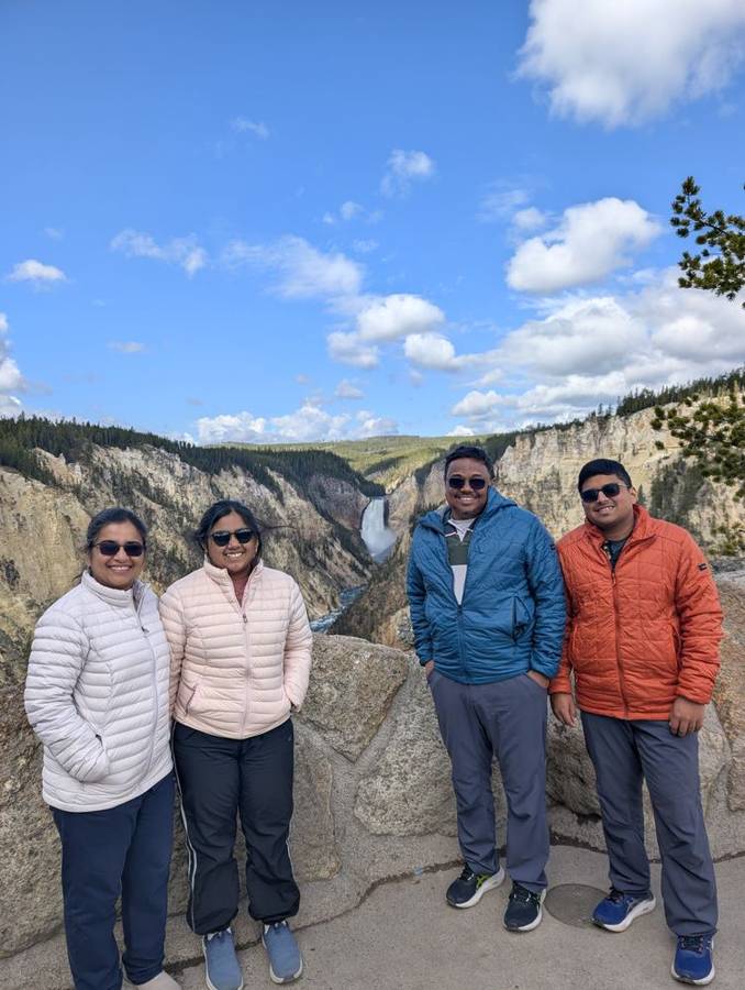
By mid-morning we reached the Grand Canyon of the Yellowstone. The canyon is about 20 miles long, roughly 800 to 1,200 feet deep and 1,500 to 4,000 feet wide, and it was cut by the Yellowstone River, the last major undammed river in the lower 48 states. At Artist Point the Lower Falls come into view at the end of the gorge: a drop of 308 feet, with the 109-foot Upper Falls hidden round a bend in the canyon. The walls of the canyon are yellow and orange, and the common assumption is that the yellow comes from sulphur. In fact, the park says, most of the yellow comes from iron in the rock, and the colours come from hot water altering the rhyolite. The point is named for the painters who came here, above all Thomas Moran, whose paintings in the 1870s helped inspire the creation of the park. We are not painters, but we posed for a photograph with the falls behind us, which is the modern equivalent.
Norris: the hottest, oldest corner
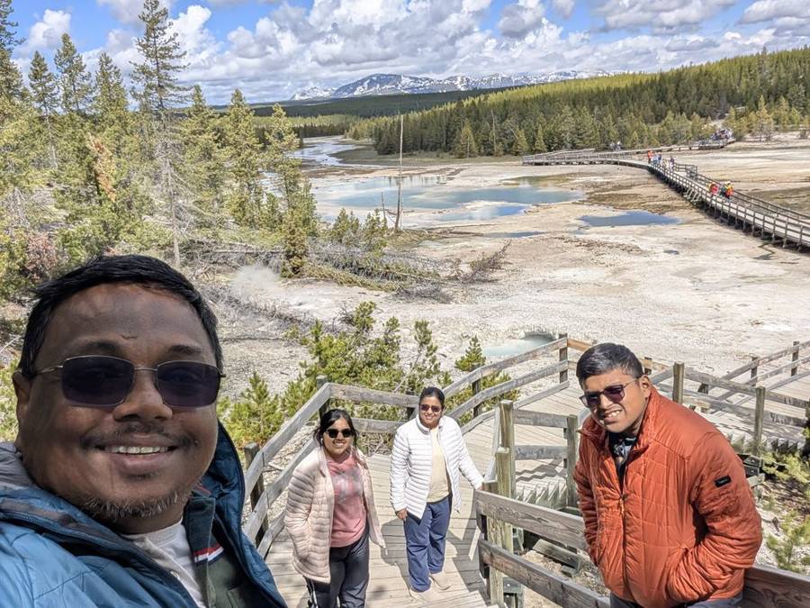
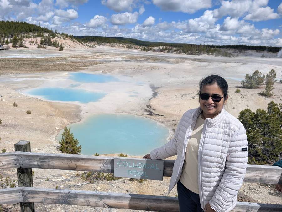
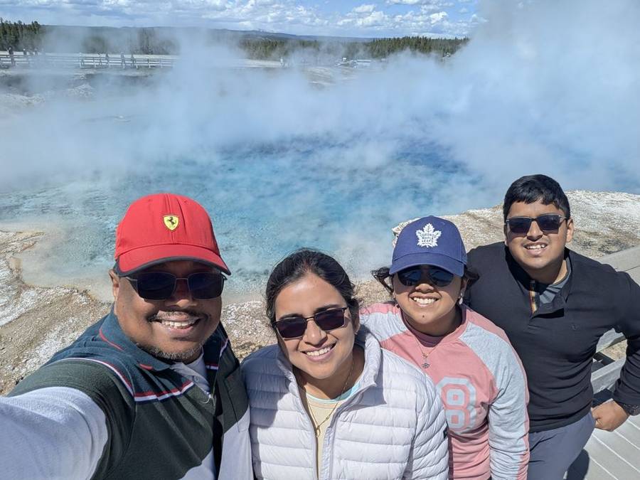
Late morning took us west across the park to Norris Geyser Basin, which the National Park Service describes as the hottest, oldest and most dynamic of Yellowstone’s thermal areas. A temperature of 459°F has been recorded 1,087 feet below the surface here, and thermal activity at Norris has been going on for at least 115,000 years. Most of its water is acidic, and it is home to Steamboat Geyser, the tallest active geyser in the world, which can throw water 300 to 400 feet into the air and erupts unpredictably, so nobody can plan a visit around it. What we saw was Porcelain Basin: a bare, pale, steaming landscape of bright pools in an almost impossibly clear shade of blue, reached by a boardwalk of about three-quarters of a mile. This is the nearest thing to Mustafar on a US road map, a lava planet in which the lava has been replaced by boiling water and the Dark Lord by a family in sunglasses.
Old Faithful, right on time
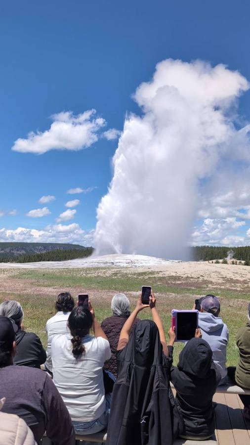
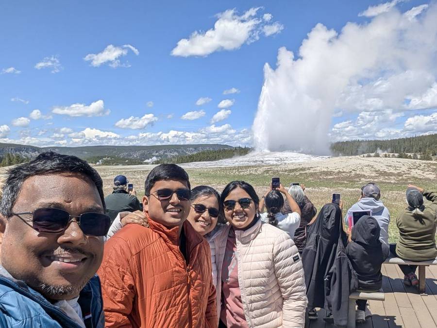
The afternoon belonged to the Upper Geyser Basin. Old Faithful was named by members of the 1870 Washburn expedition for its dependable behaviour, and it still earns the name: it erupts on average about every 90 minutes, with intervals ranging from 50 to 127 minutes, and each eruption lasts one and a half to five minutes and throws 3,700 to 8,400 gallons of boiling water 106 to 184 feet into the air. The park publishes predictions, which is more than most fleets do for their own movements. We found a spot on the benches with a crowd, the sky was blue with a few clouds, and the geyser went up on schedule against it.
Grand Prismatic
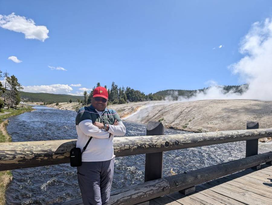
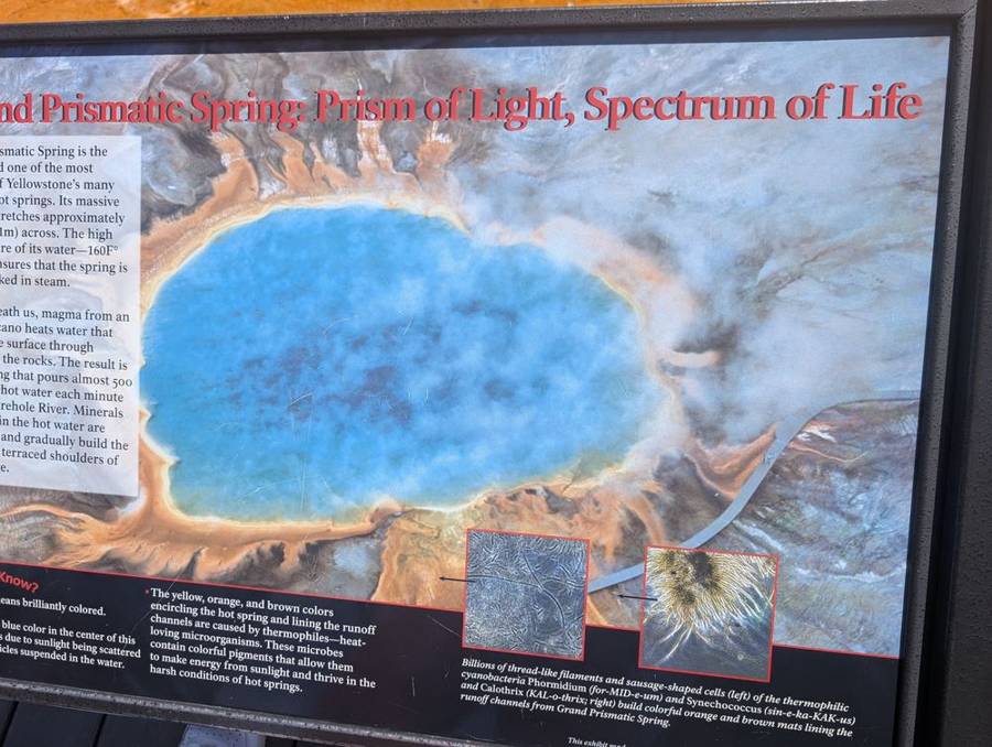
The last big stop of the day was Midway Geyser Basin, where the boardwalk crosses the Firehole River and then climbs towards the largest hot spring in the park. By this point in the afternoon the layers were thinning: sweatshirts and long sleeves under a blue sky, caps and sunglasses on, and one puffer jacket holding out. Grand Prismatic Spring is between 200 and 330 feet across, more than 121 feet deep, and the third largest hot spring in the world. Its colours are not paint or minerals but life: heat-loving microorganisms form mats that are colourless or yellow in the hottest water at the centre, and orange, brown and green in the cooler water towards the edge. A sign beside the boardwalk calls it the Prism of Light, Spectrum of Life, which is, to be fair, a better tagline than most empires manage.
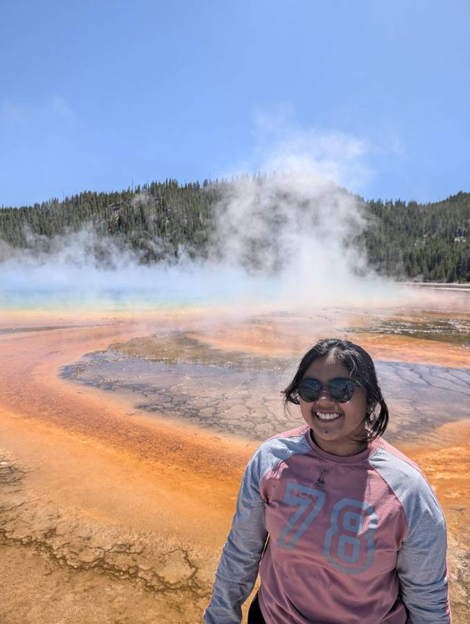
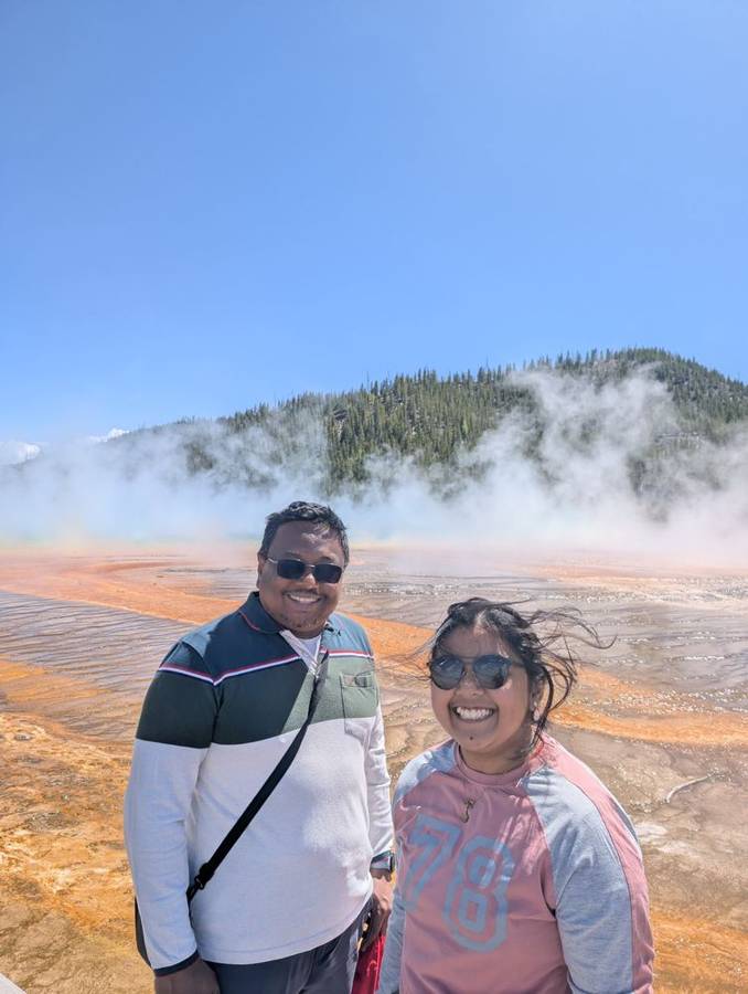
Yellowstone was established on 1 March 1872 and is the world’s first national park. It sits on the Yellowstone caldera, about 30 by 45 miles across, formed by the most recent of three huge eruptions, about 631,000 years ago (the earlier two were about 2.1 million and 1.3 million years ago). A shallow body of magma lies beneath it, and the Yellowstone Volcano Observatory monitors it with seismic stations, GPS receivers and gas and temperature measurements; scientists see no sign of an imminent eruption, though the ground moves and the park records hundreds to thousands of small earthquakes every year. The heat shows up on the surface as more than 10,000 hydrothermal features, including roughly 700 geysers, at least 500 of them active, about half of all the geysers in the world, and the thermal areas together take up less than one per cent of the park. The Emperor would have wanted the lease; the National Park Service holds it instead.
The Madison River and the road to West Yellowstone
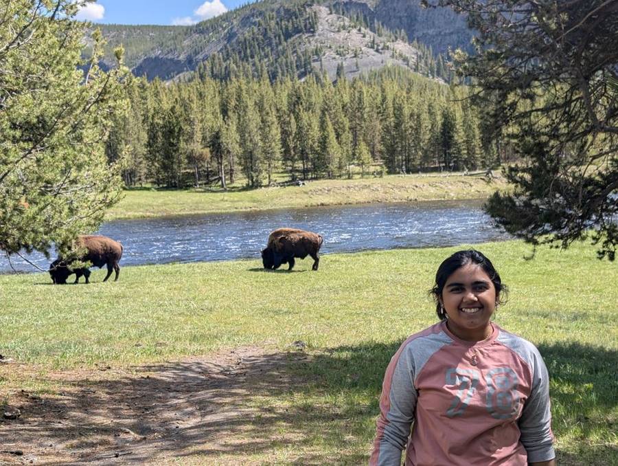
On the road out of the park beside the Madison River we passed more bison, grazing on the grass at the river’s edge, and stopped for one more photograph with them in the background. The flagship rolled out of Yellowstone and into the town of West Yellowstone, Montana, in the late afternoon, and then into the campground.
Grizzly country
The Yellowstone Grizzly RV Park, a few blocks from the West Gate, was one of the most beautiful campsites of the whole trip: picture perfect, as we put it, with the flagship on a pitch under tall pines, a picnic table beside it and a sunny, blue evening above. The sun did not go down until after nine. We also did our laundry here; even a Dark Lord needs clean socks.
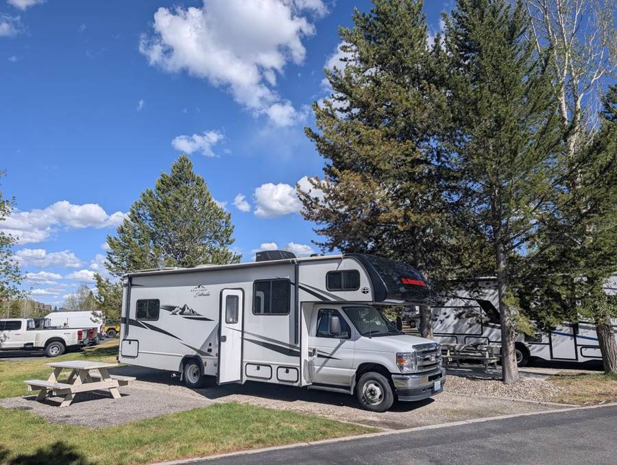
The campground is a short walk from the West Gate of Yellowstone National Park, among mature pine trees, with some sites beside Gallatin National Forest. According to its listings it has about 241 sites, 228 of them for RVs, in both pull-through and back-in layouts, with 20-, 30- and 50-amp electricity, sewer hookups on most sites, showers, laundry, a store with ice cream, Wi-Fi, a playground and a clubhouse. The name is a reminder that this is grizzly country, and the bears, as far as we could tell, did not hold it against us.
Day 6 · 2 June — Hoth, and Then the Long Road South
Frost on the table
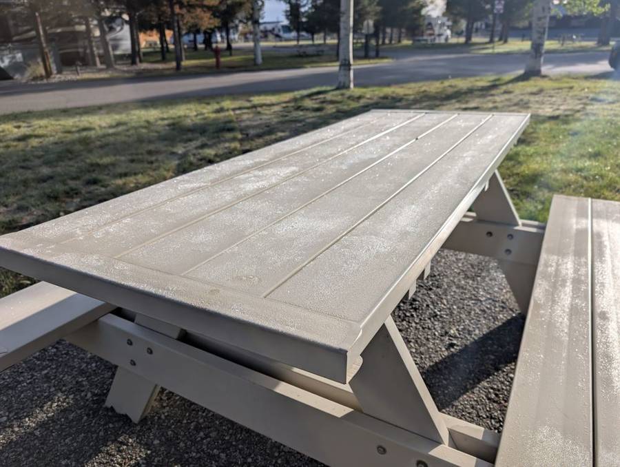
Yesterday’s sunshine had not come with a warm night. The photograph from the morning of 2 June shows the campground picnic table coated in a layer of white frost, which is a good reminder that West Yellowstone sits at more than 6,000 feet, and that early June in the mountains is not quite summer. The Dark Side has no objection to a bit of Hoth, as long as it ends, and the road out of town was dry.
The long haul
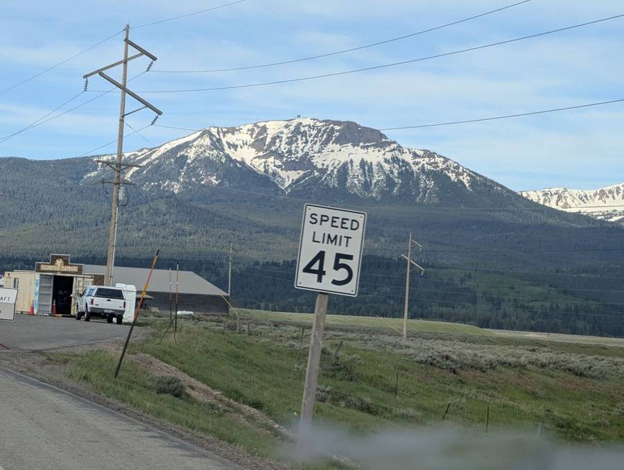
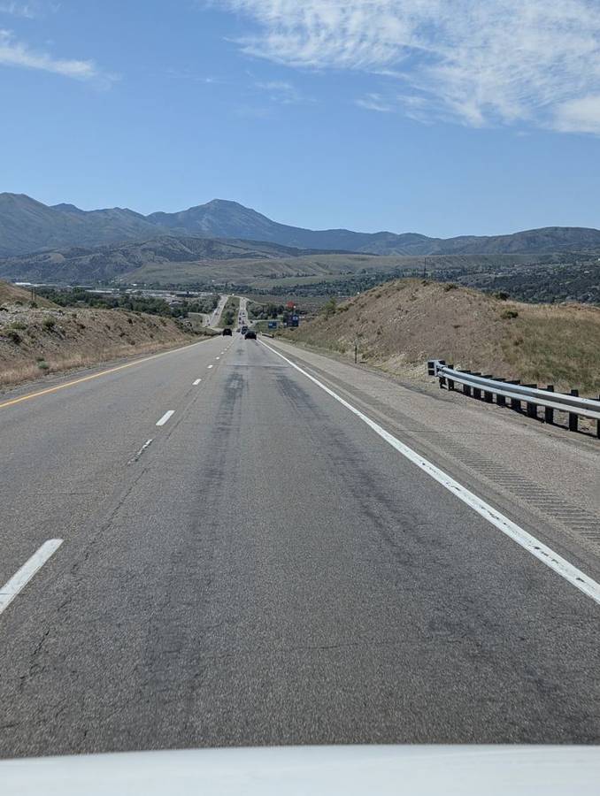
This was the longest day of the RV leg: about 400 miles, from Montana through Idaho and into Utah, leaving the pines of the plateau for the open basins of the south. Leaving West Yellowstone, the road ran through forest for a while before opening on to wide valleys with snow-covered peaks above them and speed-limit signs at 45 miles per hour, a figure the flagship had no trouble respecting. We stopped for fuel in Idaho in the middle of the morning, and joined Interstate 15 at Idaho Falls, passing Pocatello later in the morning. From there the road runs south, straight and well kept. It was the longest drive of the leg, but it did not feel like it: the roads were good and the route was simple, and the miles went by.
Supply Depot Three
The big stop of the day was the Walmart at Layton, in Utah, north of Salt Lake City. It mattered more than the others on this trip, because it was the last big shop for a while: the next stop to restock would only come after Zion. We shopped from the notebook, as in Part 1, and had lunch at Walmart. A second stop nearby, for fuel, was the day’s second refuelling, and then we carried on south through the Salt Lake and Utah valleys towards Nephi.
Nephi, and a view of Mount Nebo
We arrived at the Rollin’ Home RV Park, in Nephi, in the late afternoon, which was well ahead of the plan’s early evening, and it turned out to be another beautiful campsite. The flagship sits on a neat paved pitch with a grass border, a flagpole and a white lodge building behind. Listings for the park note views of Mount Nebo, which at 11,928 feet is the tallest peak in the Wasatch Range and its southernmost, standing over the valley. We had a wonderful bath in the camp washrooms after the long drive, and we did our laundry here too.
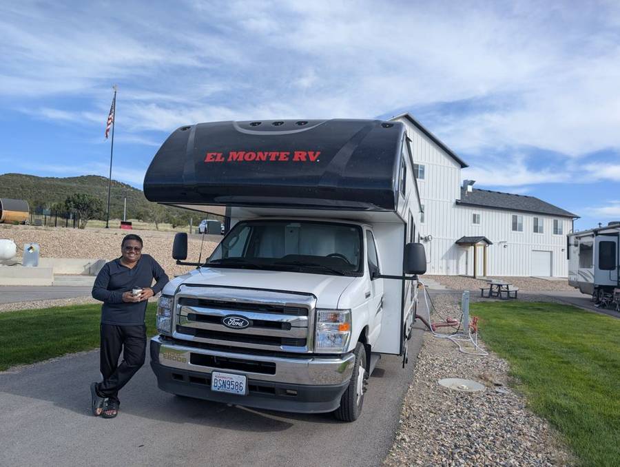
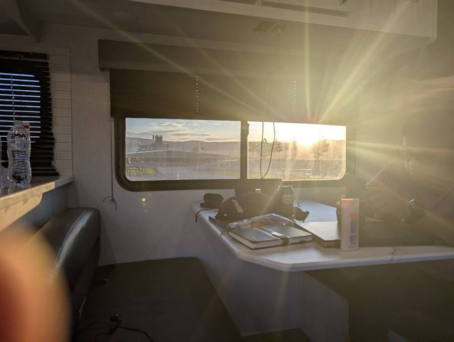
According to its listings, Rollin’ Home RV Park is at 2888 South Four Mile Road in Nephi, about 5,200 feet above sea level and a short way from Interstate 15. It has pull-through and back-in sites for rigs up to about 45 feet, 30- and 50-amp electricity, sewer hookups, laundry, showers and restrooms, a dump station, picnic tables with fire rings, horseshoe pits, a trail and a cafe and gift shop. The views take in Mount Nebo and the Wasatch Range.
The couple from Oregon
The best part of the evening was a conversation. At Nephi we chatted with an elderly couple who are from Oregon, and who, they told us, find Oregon too cold. We were surprised to learn that they had sold their home five years earlier and now live in a 48-foot trailer pulled by a pickup truck. They spend eight months of the year in Arizona, two more on the road, and only two in Oregon. We were amazed to meet people who live like this in their later years, on a schedule that keeps them away from the cold, and it was a wonderful experience. Six days into a twelve-day RV leg, with a 28-foot flagship that still feels enormous, we were clearly apprentices.
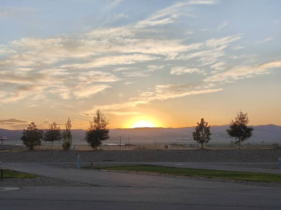
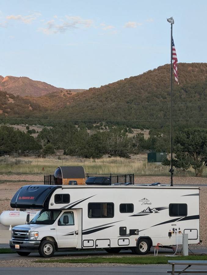
By evening the sun was low over the valley, and the light stayed on well after supper: at Nephi the sun sets a little before nine, about fifteen hours after it rises, and the photographs show a golden sky over the valley, a tall flagpole and another RV parked beneath it.
The weather report, by wardrobe
I did not carry a thermometer, so the weather forecast for this leg is based on the photographs and what the crew is wearing in them. It is not a scientific method, but it is a reliable one.
31 May: puffer jackets zipped up, hoods and umbrellas in Jackson, a lead-grey sky over the lake and, at West Thumb, rain ponchos. A day that looks like Kamino. 1 June: puffer jackets at breakfast with a mug of tea, jackets still on at the rapids, in the valley and at the canyon, and then the layers coming off through the afternoon, until the crew is in sweatshirts and caps under a blue sky at Grand Prismatic. 2 June: frost on the table in the morning, snow on the peaks beside the road, and by evening, in Utah, one long-sleeved top and a cup in hand.
The long days help the story. The sun rises a little before six and sets close to nine, and the numbers below are what the NOAA solar calculation gives for each campground on its date.
| Night | Campground | Daylight | Sunset |
|---|---|---|---|
| 31 May | Fishing Bridge, Yellowstone | about 15 h 15 min | just before nine |
| 1 June | West Yellowstone, Montana | about 15 h 20 min | just after nine |
| 2 June | Nephi, Utah | about 14 h 45 min | a little before nine |
A Dark Lord who has spent a lifetime in the shadows can get quite used to fifteen hours of sunlight a day. We did.
Plan against reality
| Day | Route | Miles: plan / tracked | Key time: plan / actual |
|---|---|---|---|
| 31 May | Rock Springs to Fishing Bridge | 334 / ~277 | Yellowstone south gate early afternoon / mid-afternoon |
| 1 June | Fishing Bridge to West Yellowstone | 61 / ~84 | out of the park early evening / late afternoon |
| 2 June | West Yellowstone to Nephi | 410 / ~405 | early evening / late afternoon |
The plan had Teton Park Road on the first day, and we skipped it because of the cloud and rain. It also put West Thumb, Grand Prismatic and Old Faithful all on the afternoon of 31 May. In the end West Thumb was the only one of the three we saw that day, and Old Faithful and Grand Prismatic came on 1 June, the clearest day of the three, which helps explain why the park day came to about 84 miles instead of the planned 61. The tracked miles come from our phones’ location history, which is a good guide to the route and a poor one to exact distances inside a national park.
The next dispatch, Part 3, covers Bryce Canyon and Zion.