This is the first dispatch from the RV leg, and like every post about it, it is written from the Dark Side. The places, the photographs and the facts are real. The melodrama is not. Nothing here is endorsed by any galactic empire, and no one was harmed, apart from a few dignities.
THE DARK LORD’S LOG. DAYS ONE TO THREE.
Every empire has an origin story, and ours begins at a rental depot in Commerce City, Colorado, with a 28-foot flagship, three campsites booked in advance and a notebook of provisions written in three colours of ink. The plan said we would take command on the afternoon of 28 May and reach Wyoming by the evening of the 30th. This is how it actually went: a canyon at dusk, a very long drop, a rock balancing on another rock, a wall made of dinosaur, and a crew learning, in three days, how to live inside a vehicle that is also a kitchen, a bedroom, a bathroom and, if you are not careful, a very large problem. The Dark Side, it turns out, runs on logistics.
The route
Fourteen numbered stops, with a filled circle for each of the three nights we slept aboard. The legend gives the date of each one.
- 28 May El Monte depot, Commerce City: RV collected
- 28 May Avon: Walmart supply run
- 28 May Silt: KOA Glenwood Springs, night 1
- 29 May Dead Horse Point State Park
- 29 May Canyonlands, Island in the Sky: Mesa Arch
- 29 May Arches: Courthouse Towers, Balanced Rock, Devil’s Garden
- 29 May Moab: campground, night 2
- 30 May Dewey Bridge, UT-128
- 30 May Douglas Pass, CO-139
- 30 May Rangely, Colorado
- 30 May Dinosaur National Monument: Quarry Exhibit Hall
- 30 May Vernal: lunch and Walmart
- 30 May Flaming Gorge
- 30 May Rock Springs: KOA, night 3
Day 1 · 28 May — Taking Command
The surrender of the speeder
We had spent the night in Pueblo and reached the El Monte depot in Commerce City around midday. (How we came to be in Pueblo is a story for a separate post.) We were early, since weekday pickups there start after one o’clock, and there was a small matter of a car to be dealt with. A Dark Lord does not command two vehicles at once, so the rental went back first. We returned it near Denver’s Union Station, made our way back, and by early afternoon were standing in the depot yard, waiting for the flagship. We had arrived dressed as civilians, which I understand is the usual cover.
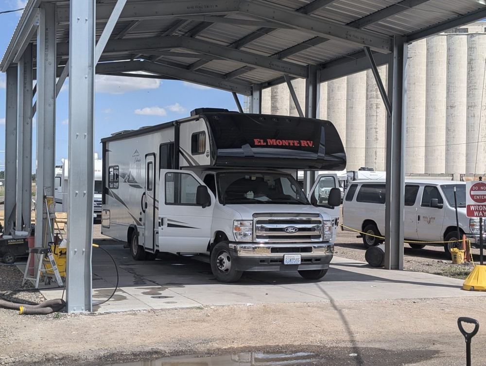
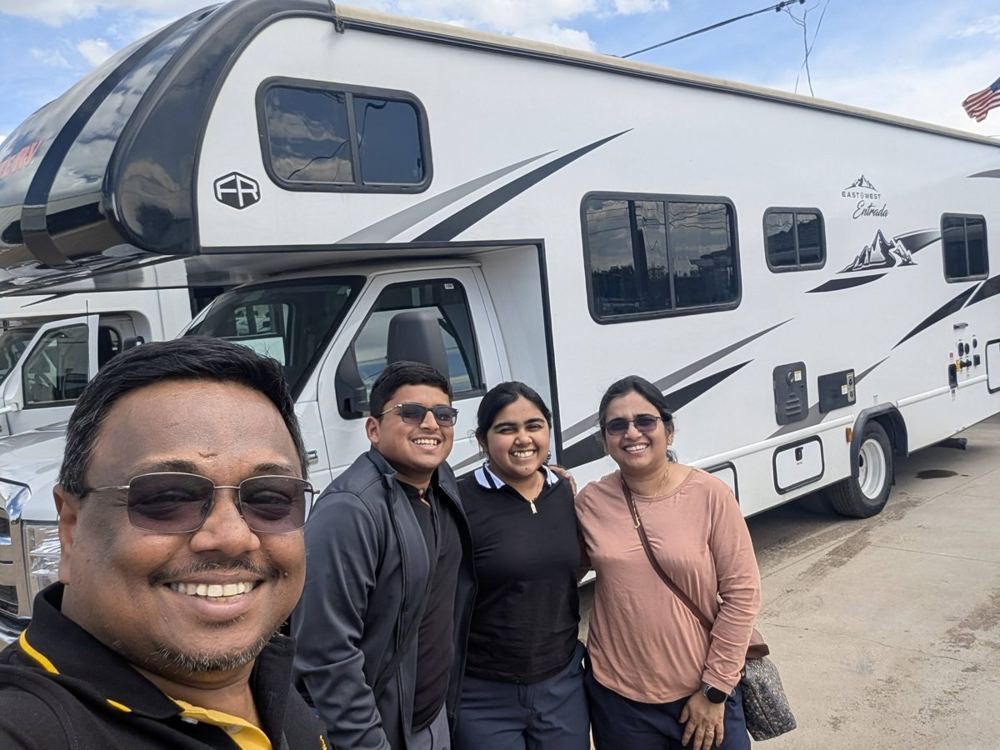
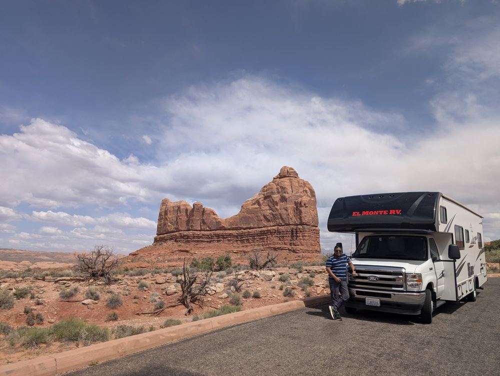
The handover took about three hours. I will spare you the details; the point is that at the end of it a motorhome was ours. It was a Class C, the kind with a bunk over the driver’s cab, a table that turns into a bed, a small kitchen, a bathroom, and about 28 feet of white fibreglass between the front bumper and the back. Photographs from the depot show the ship in a service bay and the crew in front of it, sunglasses on, which for the purposes of this log counts as the helmet.
Up into the thin air
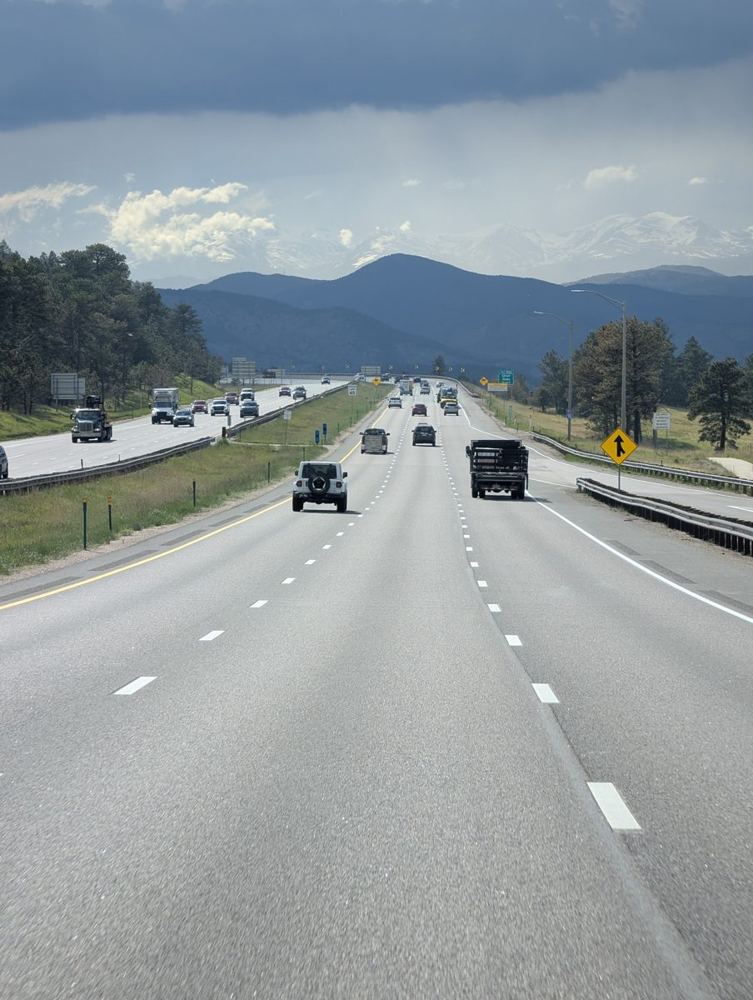
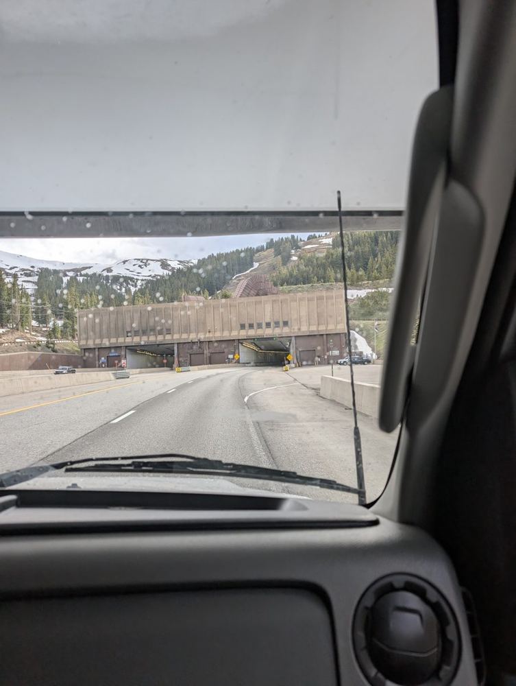
Late in the afternoon we rolled out of the yard and onto I-70 west, which climbs out of Denver and into the Rockies almost immediately. If anyone in the cab was breathing heavily on the first long climb, it was at least in character. By early evening there was snow on the peaks beside the road, in the last week of May, which is the kind of detail you do not expect from a state you associate with sunshine.
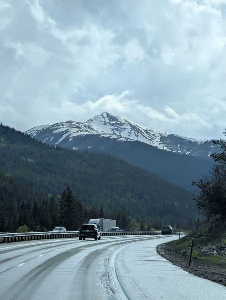
Then came the Eisenhower Tunnel. It carries I-70 under the Continental Divide, in two bores each about 1.7 miles long, at a height of 11,158 feet (3,401 metres). It opened in 1973 and is the highest vehicular tunnel in the United States. There is a point inside it when you understand that a long, narrow, brightly lit trench through solid rock is exactly the kind of place a fighter pilot would be nervous about, and that a 28-foot motorhome is a lot bigger than a fighter. The Empire’s engineers would have approved. Nothing was struck; no exhaust ports were harmed.
Supply Depot One
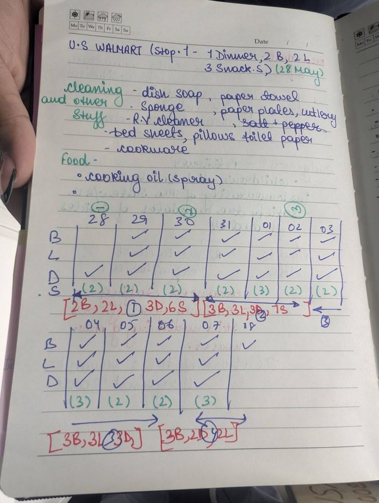
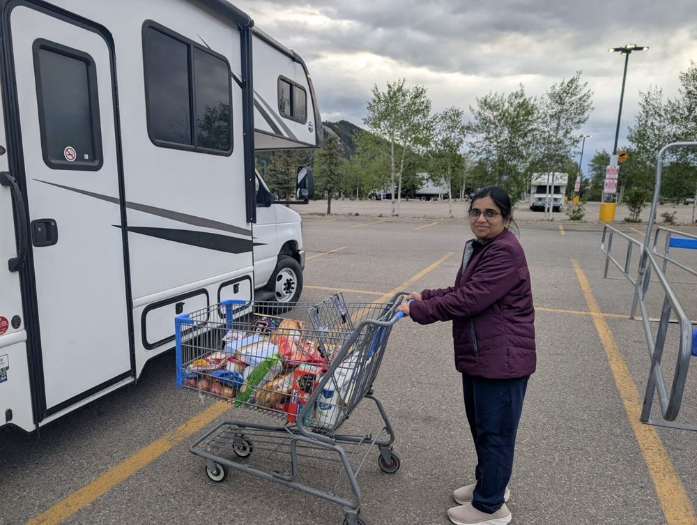
The first objective was Avon, 109 miles from the depot, and specifically its Walmart. Any campaign needs logistics, and ours had been planned in a notebook. The page is headed “U.S. Walmart (Stop 1)” and lists what this stop had to cover: one dinner, two breakfasts, two lunches and three snacks, plus dish soap, paper towels, a sponge, paper plates, cutlery, an RV cleaner, salt and pepper, bed sheets, pillows, toilet paper, cookware and cooking oil spray. Below it is a grid of ticks for every meal from 28 May to 8 June, with the total for each shopping stop in red. We spent about an hour and a half in and around that store. A motorhome is a house you have to stock yourself, and the cart that left Avon looked like the cargo bay of a very small Star Destroyer.
A canyon at dusk
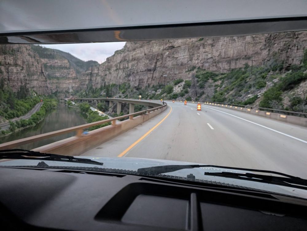
The last 70 miles were through Glenwood Canyon, a 12-and-a-half-mile gorge where the Colorado River has cut walls up to 1,300 feet high, and where the interstate runs on viaducts and through tunnels so that the road and the river can share a space that is barely wide enough for one of them. We came into it as the light was going, with the river below the road and the cliffs rising on the far side. It is a canyon run in every sense except that nobody was shooting at us.
The first night
We reached the campground in Silt, near Glenwood Springs, late in the evening, well after the plan’s early-evening arrival. The three hours at the depot and the long stop at Walmart account for most of the gap. Arriving at a campground after sunset means finding your pitch by headlight, with other rigs as dark shapes on either side. We found our pitch, settled in, climbed into the bunks and the sleeping bags, and the flagship had its first night as a ship.
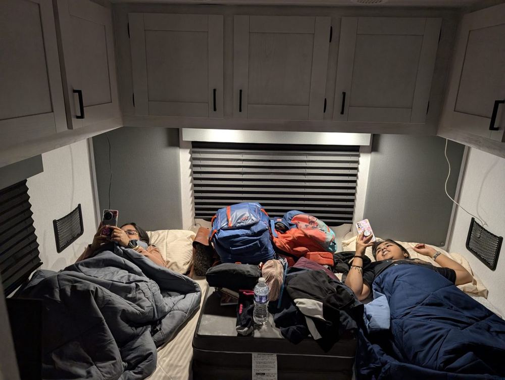
The campground is the Glenwood Springs West – Colorado River KOA Holiday, at 629 River Frontage Road in Silt, just off I-70 at Exit 97 and about 17 miles west of Glenwood Springs. It sits on more than 2,800 feet of Colorado River frontage, has full-hookup RV sites (14 of them premium riverfront patio sites), a welcome lodge with a store, showers and a lounge, two laundry areas, a dog park, a splash park and a heated pool that opens on 1 June, four days after we arrived. The Empire arrived early and was told, politely, to wait. From the pitches you can see Roan Plateau, Mamm Peak and Battlement Mesa, and the river has trout and, in season, bald eagles.
The wrong side of the road
A word about the driving, which deserves one. We come from India, where the steering wheel is on the right and traffic keeps to the left. In the United States it is the opposite: the driver sits on the left, the traffic keeps to the right, and every instinct you have spent years building is now pointing the wrong way. Add to that a vehicle about 28 feet long, roughly 8 feet wide and more than 10 feet tall, with a driver’s seat so far forward that the back of the ship feels like it is in the next postcode. Turns have to be wider than seems reasonable, the rear swings out when you go round a corner, the mirrors are the size of tea trays, and the tunnel, the canyon and the fuel station each ask something different of you. It takes a few hours before the right lane stops feeling like a trick. In the end the Dark Side is mostly a matter of discipline, and the discipline is mostly keeping to the right.
Day 2 · 29 May — The Desert Planet
Morning on the river
We saw the campground for the first time in daylight. The flagship sat on a grassy pitch with a picnic table beside it, trees overhead and a long ridge in the distance, on a campground that backs onto the Colorado River. The morning routine of breaking camp is described in the housekeeping section below. After that we plugged the ship back into the road.
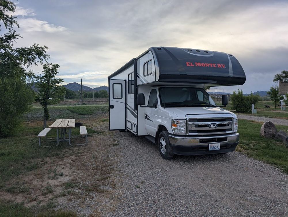
West into the red country
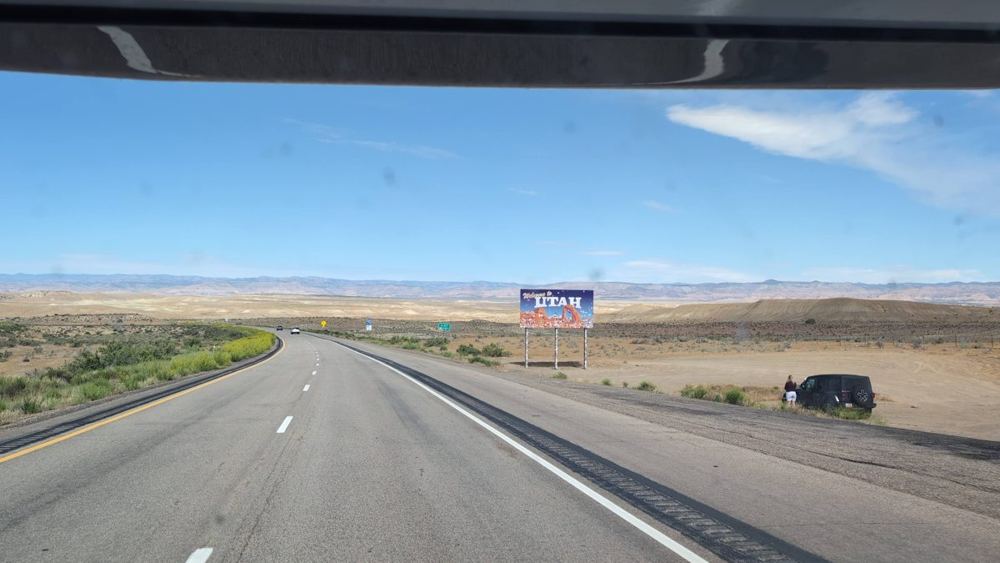
The drive to Moab runs west on I-70, past Rifle and Grand Junction and along the Colorado River valley, and by late morning we crossed into Utah. The sign is a good deal smaller than the landscape it welcomes you to. After the green of the Colorado mountains, the land turns pale, flat and enormous, and the colours begin to shift towards red.
Dead Horse Point
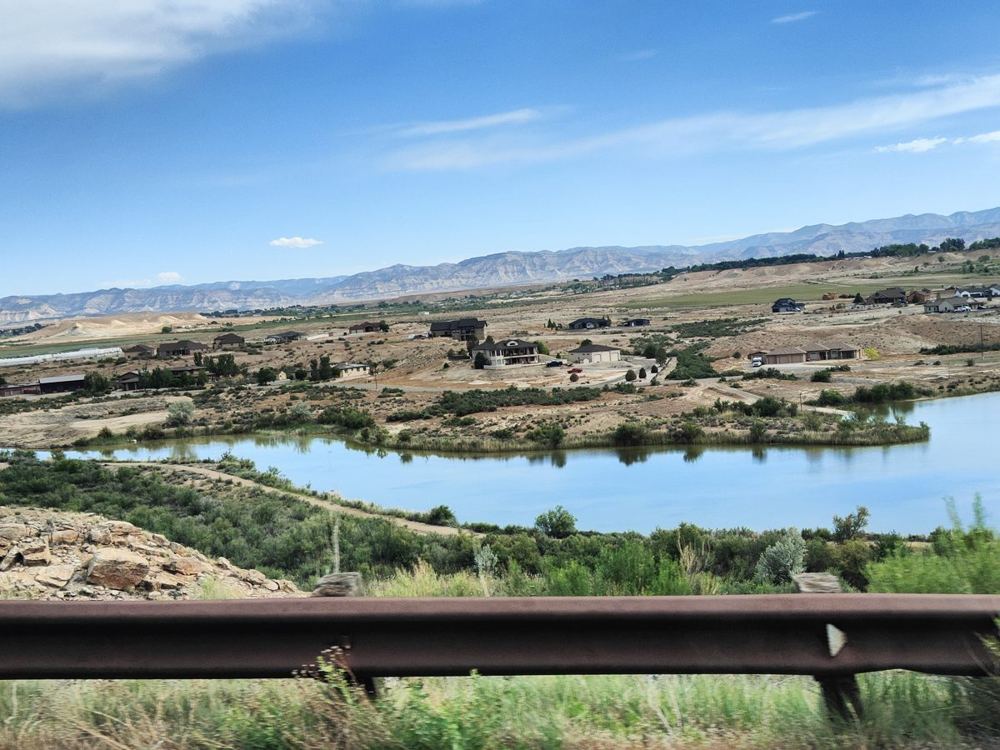
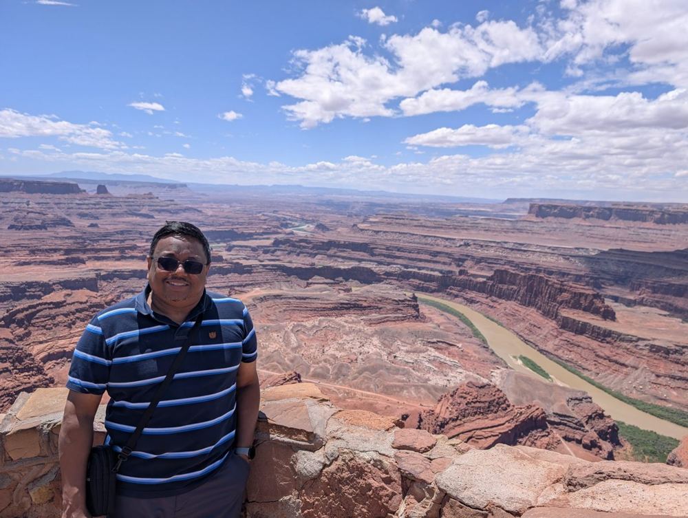
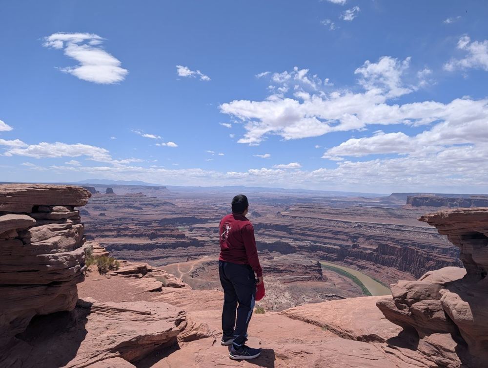
North of Moab we turned off for Dead Horse Point State Park, at about midday, which the plan had marked as the lunch stop. The overlook stands at 5,900 feet, with the Colorado River making a tight gooseneck about 2,000 feet below, and the pale blue rectangles on the valley floor are potash evaporation ponds. The drop is the sort that makes a thermal exhaust shaft look like a pothole. We walked along the rim and took a lot of photographs. A low stone wall keeps visitors from the edge, and the view over it does not look quite real in a photograph either.
The park covers 5,362 acres and looks out over the Colorado River and into Canyonlands. The name comes from an old story: before the 1900s, cowboys herded wild mustangs onto the point and fenced them in. For a reason nobody remembers, the horses were left there, on a point without water, and died of thirst within sight of the river 2,000 feet below.
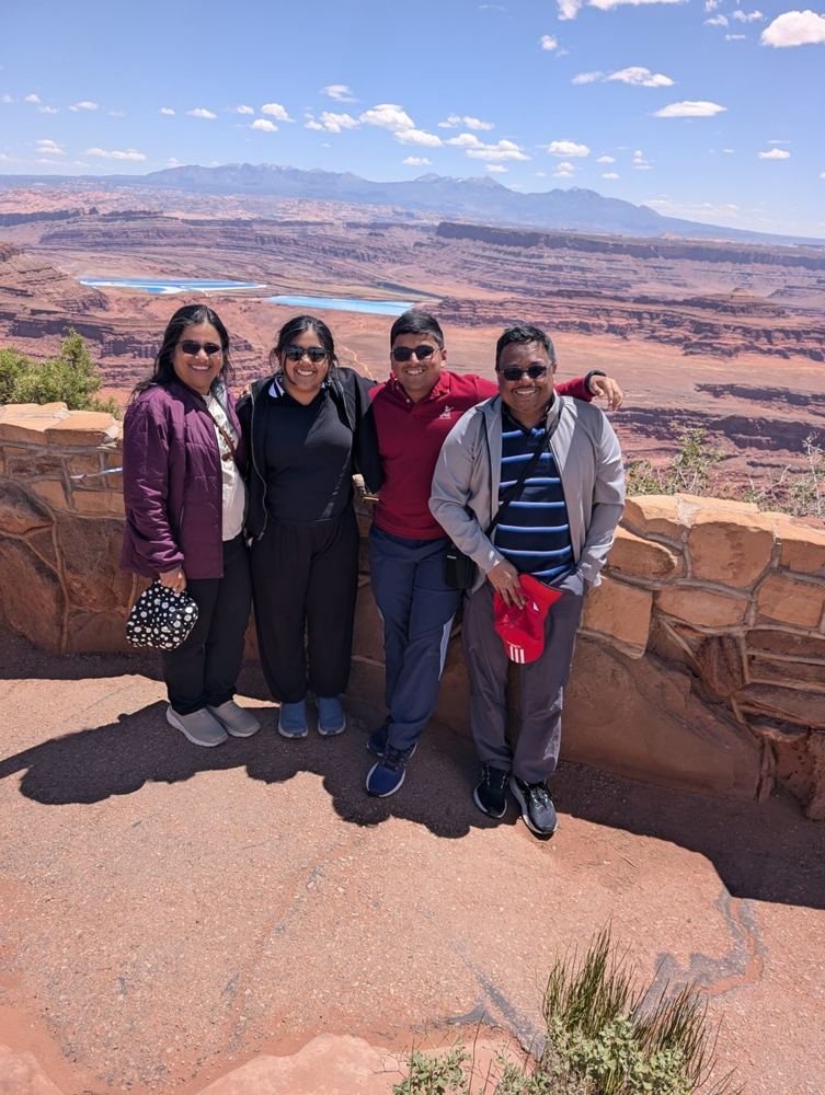
Canyonlands: the Island in the Sky
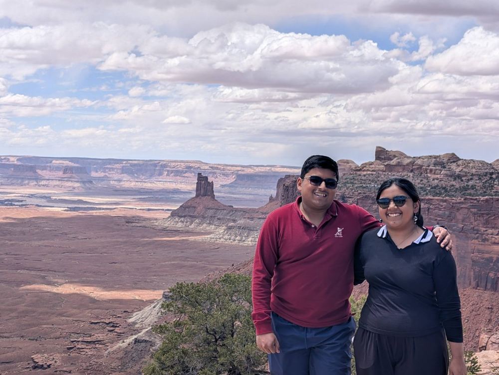
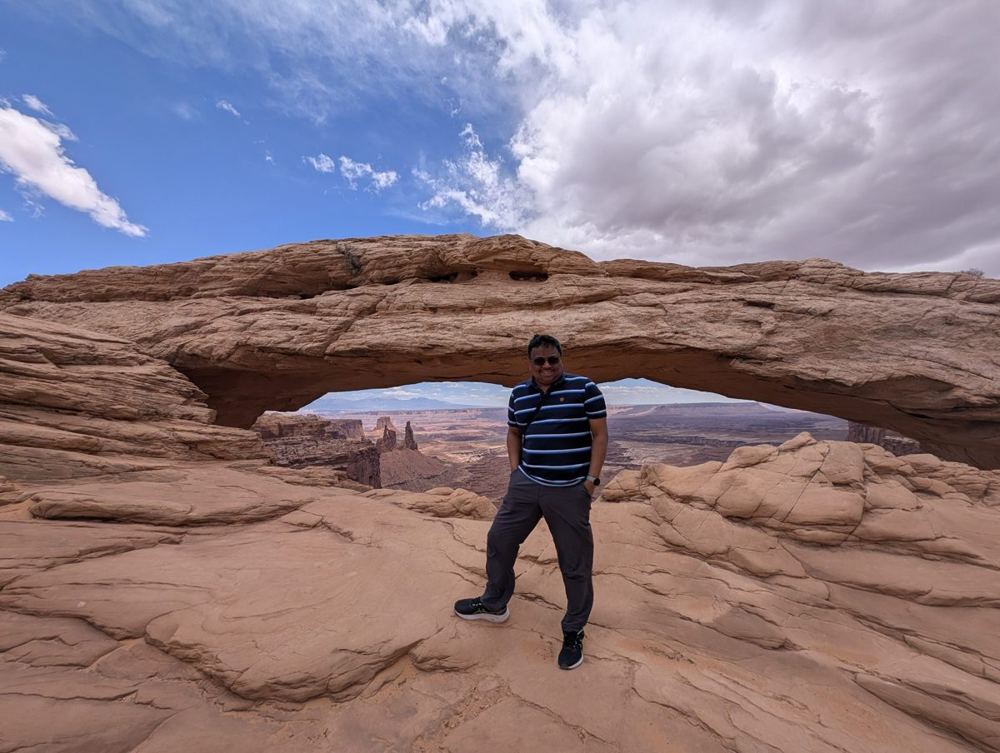
From Dead Horse Point it is a short drive to the entrance of Canyonlands National Park. We drove south along the Island in the Sky, a flat-topped mesa with canyon on every side, stopping first at an overlook a little south of the Mesa Arch trailhead, and then at the trailhead itself. The arch is a short, easy walk of about half a mile. It is smaller than its fame, spanning only about 50 feet, and it sits right on the edge of a cliff of roughly 500 feet. Visitors drive out before dawn to see the underside glow red at sunrise. We saw it in the afternoon instead, which is its other mode, and it was still worth the walk.
Canyonlands was established on 12 September 1964 and covers 337,598 acres in four districts: Island in the Sky, the Needles, the Maze, and the rivers themselves. The Green and Colorado rivers meet inside the park. The Island in the Sky is the northern district, a mesa between the two rivers: a sandstone bench called the White Rim lies about 1,200 feet below its surface, and the rivers are roughly another 1,000 feet lower.
Arches, and the one that got away
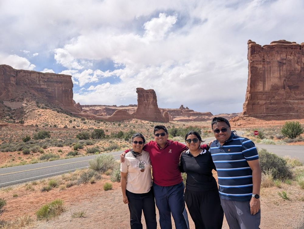
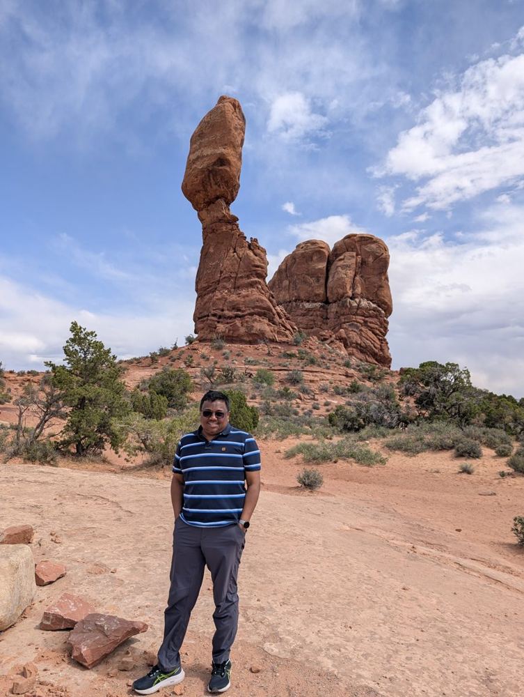
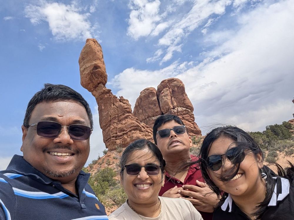
We went from one park to the next, and by mid-afternoon were driving the long road into Arches. The first photographs come from the stretch near the Courthouse Towers, where we pulled the motorhome over at the side of the road and stood in front of a row of red towers that look as if the Empire had built them for a parade. Then came Balanced Rock, which looks like an imperial walker caught mid-step. The boulder on top is about 55 feet above its pedestal and weighs an estimated 3,500 tons, and the softer rock beneath erodes faster than the rock above it, so it will come down one day; a neighbouring formation, Chip Off the Old Block, fell in the winter of 1975–76. It also had a cameo in the opening of Indiana Jones and the Last Crusade in 1989.
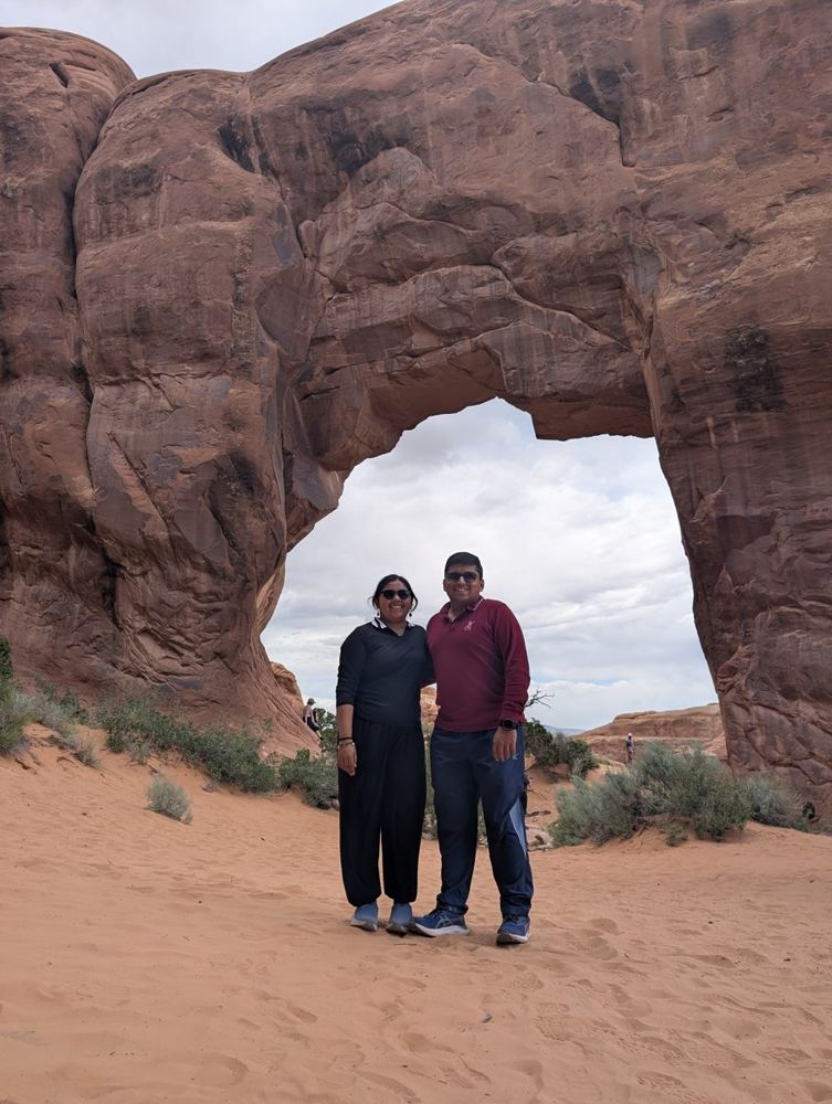
Last, at the end of the park road, we reached Devil’s Garden, which is the trailhead for Landscape Arch, a 306-foot ribbon of rock, and several others. We had time for a short walk, and then it was time to turn the flagship around. The plan had also listed Delicate Arch at sunset. We did not get there; we ran out of time. I will treat Delicate Arch the way an empire treats a planet it has not yet conquered: it is on the list, and it will keep.
Arches has more than 2,000 documented natural arches, and covers 76,519 acres. It was made a national monument on 12 April 1929 and a national park on 12 November 1971. Its elevation runs from 4,085 feet at the visitor centre to 5,653 feet at the top of Elephant Butte, and it gets only 8 to 10 inches of rain a year. Balanced Rock is 128 feet tall.
Night two, in the shadow of the red cliffs
We reached the campground north of Moab in the late afternoon, which gave us what the first night had not: daylight to settle in. The motorhome sat under a large tree, with other rigs on all sides and a grey sky overhead. It was the first evening with daylight to spare at camp. The day had come to about 236 miles by the phone’s count against the plan’s 288, though the plan included 97 miles of in-park driving, which the location history probably under-records.
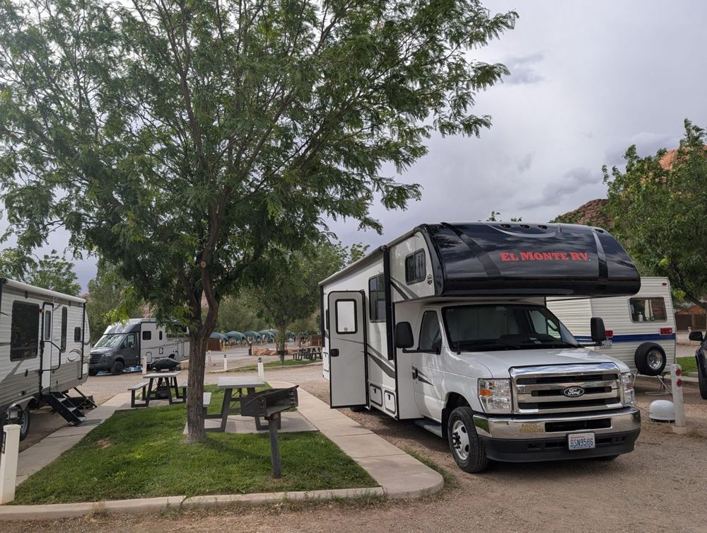
The campground is Sun Outdoors Arches Gateway, at 1773 North Highway 191, a few minutes from the Arches entrance. It has 131 sites: 66 RV sites (pull-through and back-in) with water, sewer and 20-, 30- or 50-amp electricity, 21 tent sites (some covered), and 44 lodging units, including Airstream trailers, cabins and cottages. There is a swimming pool, a hot tub and sauna, a mini-golf course, bike rental, a dog park, a general store, a dump station and a laundry.
By the second night the driving had settled into a pattern: long straight roads in the morning, a national park in the middle, and a campground at the end. What did not change was the fuel gauge. Over the whole RV leg the ship gave us about 8 miles to the gallon, which is the kind of number that makes you respect every fuel stop, and is the only thing it has in common with the Death Star’s power bill. Not that anyone has ever seen that bill.
Day 3 · 30 May — The Northern Advance
Breaking camp
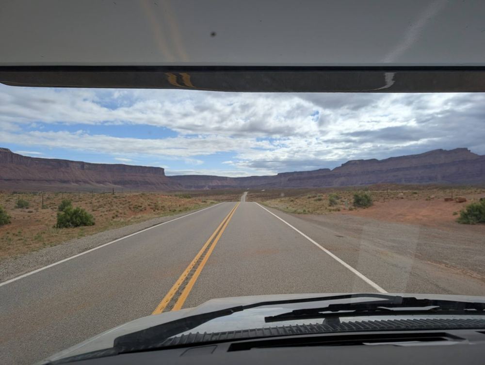
A motorhome morning has a ritual, which is described in the housekeeping section below: disconnect, empty, refill and stow everything so that nothing flies across the cabin on the first bend. Then we left, a little later than the plan’s eight o’clock, and took UT-128 north along the Colorado River, past the Fisher Towers area.
The river road, and Douglas Pass
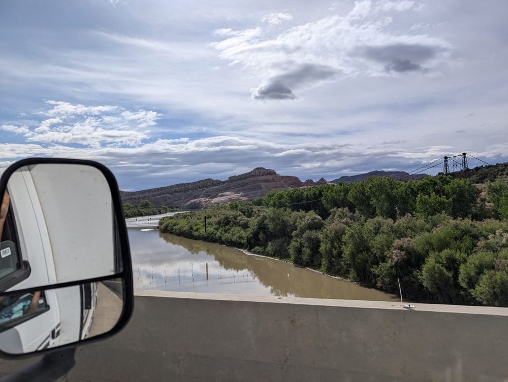
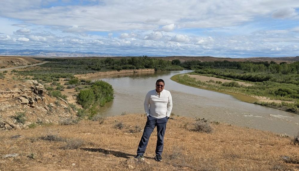
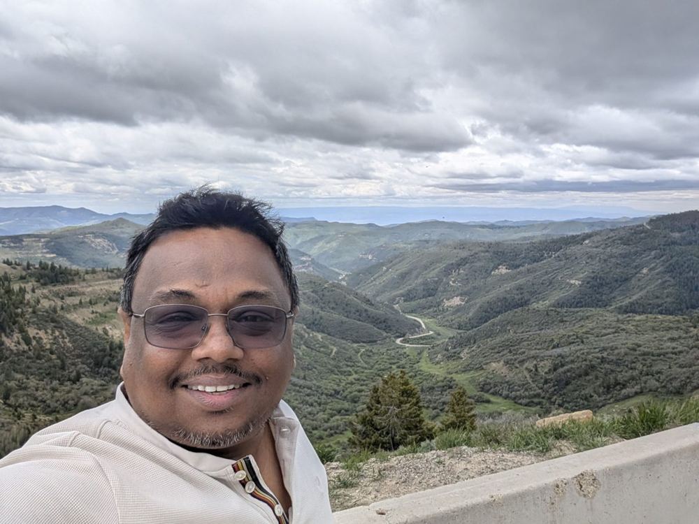
At Dewey Bridge the road crosses the river on a newer bridge beside the remains of a historic suspension bridge, and soon after, we stopped on a bluff above the river to stretch our legs. Then it was I-70 east for about 40 miles and north on Colorado Route 139, which climbs to Douglas Pass at about 8,300 feet (2,520 metres). We stopped at the summit, where the road below winds away into a green valley. It was the highest point of the day’s route.
Dinosaur National Monument
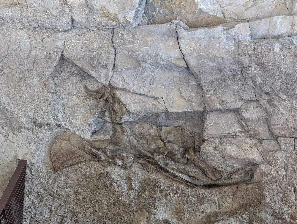
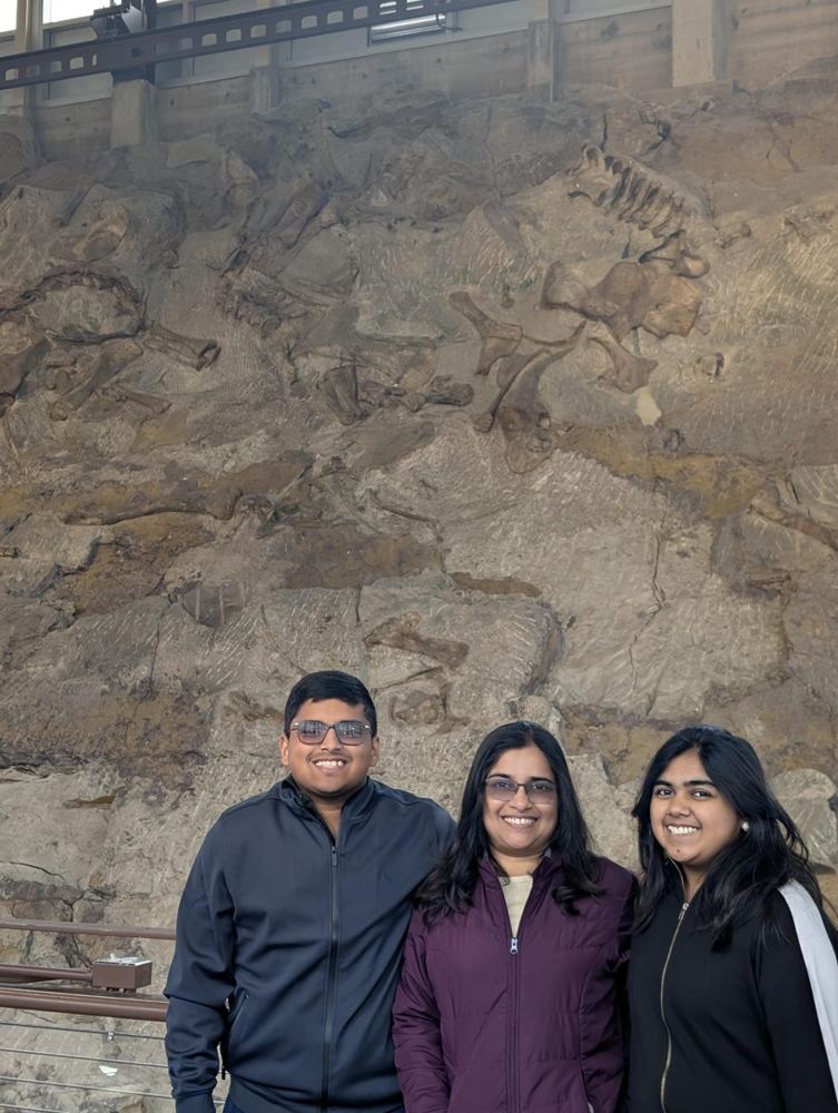
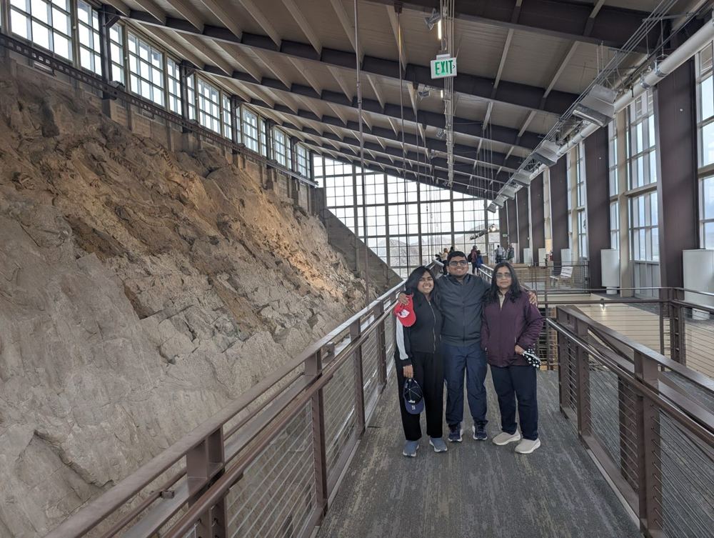
We stopped briefly in Rangely, Colorado, then drove west through Dinosaur, Colorado and Jensen, Utah, and reached the monument in the early afternoon. The Quarry Exhibit Hall is built against a tilted slab of rock, and the surface of that slab is covered in the bones of dinosaurs, left exactly where they were buried. You walk along it and see them where they were found, not in a museum case. The bones in our photographs are the only residents we met all week who are older than the Empire, and they showed no sign of being impressed by us.
The paleontologist Earl Douglass found the first bones here on 17 August 1909, eight tailbones of an Apatosaurus sticking out of a ridge, while working for the Carnegie Museum. His team dug the Carnegie Quarry for 15 years and removed over 350 tons of fossils. The site was protected as a national monument in 1915. The Quarry Exhibit Hall, built in 1958, shelters the last section of the original hillside, with more than 1,500 dinosaur bones exposed in relief. They are about 149 million years old, from the Jurassic, when this was a riverbed; the Stegosaurus, Allosaurus and Camptosaurus are among those found in the quarry.
Vernal: lunch and Supply Depot Two
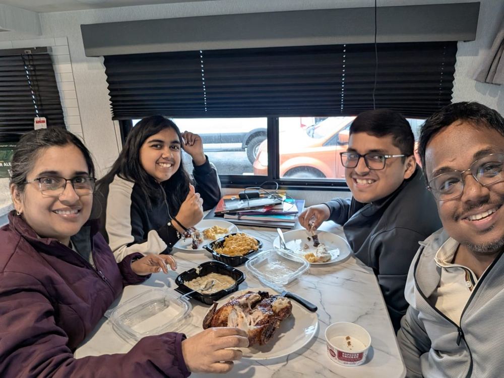
From the quarry it is about 20 miles to Vernal. We spent more than an hour and a half there, and it served two purposes: a second Walmart for restocking the flagship, and a late lunch, which we ate at the table inside the motorhome, parked at the supercentre. A dark empire does not always dine in splendour. Sometimes it dines aboard its own ship, in a car park, under the lights of a supercentre.
Flaming Gorge
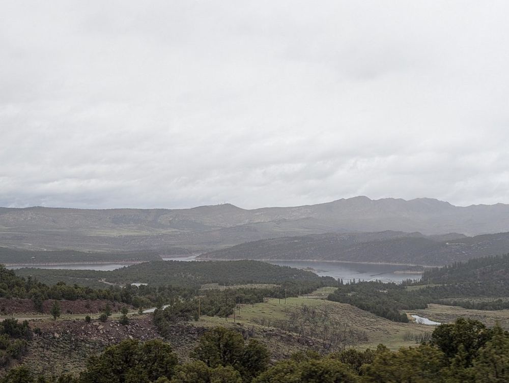
The last leg was US-191 north, about 100 miles through pine forest and out onto the rim of Flaming Gorge Reservoir. John Wesley Powell named the gorge in 1869 for the red of its rocks when the sun is on them. The dam, 502 feet tall, was completed in 1964, and the reservoir now stretches about 91 miles up the Green River into Wyoming. We saw it under a grey sky, with the lake far below in the haze, and I will say only that the flame was not at its best that evening. We passed near the dam and kept going.
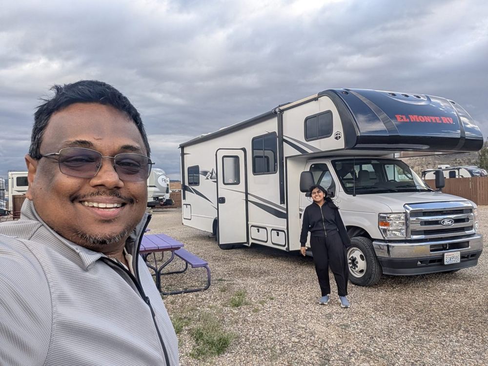
Night three
We reached the campground in Rock Springs, Wyoming, in the early evening, close to the plan. We spent the evening aboard with hot drinks and biscuits at the table. The day came to about 318 miles, against the plan’s 329.
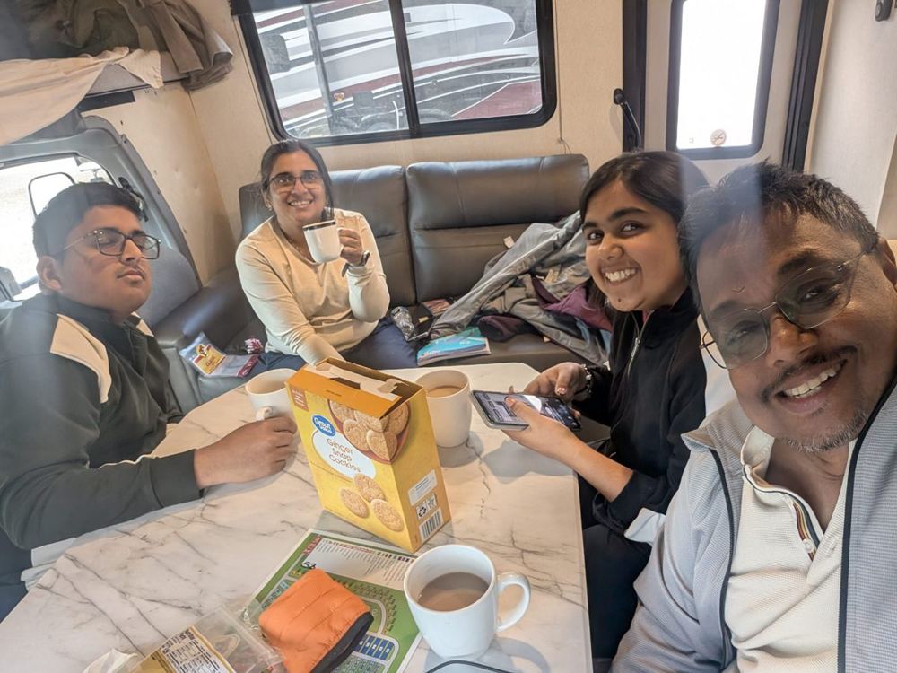
The campground is the Rock Springs / Green River KOA Journey, at 86 Foothill Boulevard, a mile from Exit 99 on I-80. It is open all year and has pull-through RV sites up to 90 feet long, back-in sites with full or partial hookups, 50-amp power, 24-hour laundry facilities, a general store with ice cream, a dog park and a seasonal pool (mid-June to early September), and it will deliver freshly baked pizza to your site. The town began as a coal-mining settlement in 1868, and the area includes the Pilot Butte Wild Horse Scenic Loop and the Oregon Trail.
Seven hundred miles in, the ship was still very large, the steering wheel was still on the left and the right lane was still on the right. We were starting to feel it was supposed to be that way.
Housekeeping on the Dark Side
Nobody tells you, when you imagine a motorhome trip, how much of it is housekeeping. The scenery is the reason we went, but the routine is what we remember. This is how a day on the ship works.
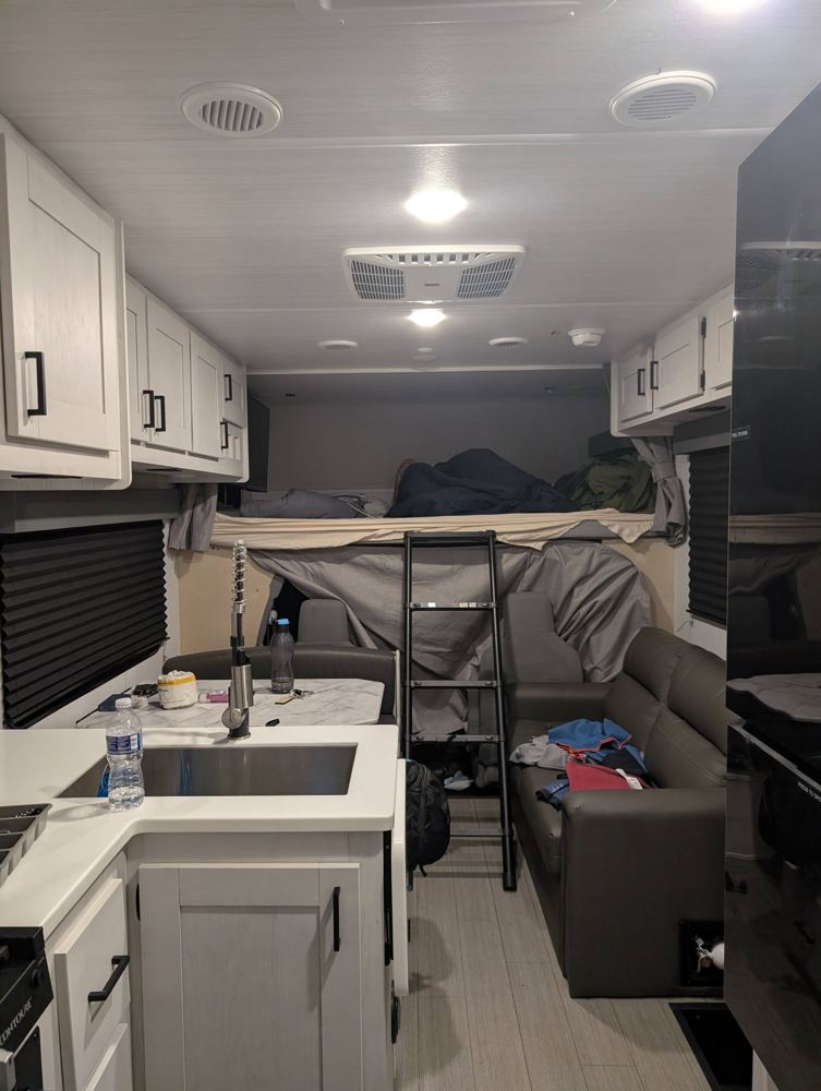
Arrival: levelling and hooking up
At every campground the first job is the same. You park on the pitch, check that the motorhome is level, so that the bed, the sink and the fridge behave, and then connect it to the campground: the power cable goes into a post, a hose brings in fresh water, and a corrugated sewer hose is connected to the drain. The campgrounds at Silt and Moab have full-hookup sites, which is exactly this. Done properly it is quick. Done in the dark, with a new vehicle, it is slower.
Departure: the tanks
The part of the routine that every motorhome owner describes in lowered tones is the tanks. The ship has three: a fresh-water tank, a grey-water tank that collects the water from the sink and shower, and a black-water tank that collects everything from the toilet. Before leaving a campground you empty the grey and black tanks at the dump station or through the sewer hose, black first and grey second, so the grey rinses the hose, and then you top up the fresh water. It is not a glamorous job. The Death Star’s designers left a thermal exhaust port unguarded; ours remembered the black tank, and anyone who tells you the Dark Side is glamorous has never had to empty one.
The outdoor bench
The campground picnic table beside the motorhome became our dining room, our tea room and our living room. Meals and tea were taken at it, outdoors, with whatever view the campground had to offer: a river, a red cliff, a mountain. It is the best feature of motorhome life: the kitchen is a few steps away, but the table is outside, so a meal comes with a sky.
Cooking and cleaning
The kitchen is small, so the notebook mattered: every meal had a plan, and the Walmart ledger was the plan. The cooking was the execution. Washing up, wiping down and sweeping were daily chores, and a ship of that size stays tidy only if the crew does.
Laundry and neighbours
All three campgrounds have laundry rooms, and we put at least one of them to work. A campground laundry is also, in practice, a meeting place: you stand next to a stranger, watching a machine, and the conversation starts itself. We met other campers along the way, which is one of the unplanned pleasures of this kind of trip. Everyone has a route, a rig and an opinion about both.
Plan against reality
| Day | Route | Miles: plan / tracked | Arrival: plan / actual |
|---|---|---|---|
| 28 May | Denver to Silt | 183 / ~180 | early evening / late evening |
| 29 May | Silt to Moab | 288 / ~236 | after sunset at Delicate Arch / late afternoon |
| 30 May | Moab to Rock Springs | 329 / ~318 | early evening / early evening |
The tracked miles come from our phones’ location history, which is a good guide to the route and a poor one to exact distances inside a national park. The final odometer figure for the whole RV leg is in the plan post.
The next dispatch, Part 2, covers the Tetons and Yellowstone.