This is the third dispatch from the RV leg, still written from the Dark Side. The places, the photographs and the facts are real. The melodrama is not. If you are new here, Part 1 covers Denver to Rock Springs and Part 2 covers Rock Springs to Nephi.
THE DARK LORD’S LOG. DAYS SEVEN TO NINE.
Every Dark Lord believes he commands the largest army in the galaxy, until he visits Bryce Canyon, where thousands of stone figures stand in orange and cream ranks across an amphitheatre and do not move at all. For three days the flagship, which had spent six days being the biggest thing on any road, was the smallest thing in view. It followed one of America’s most celebrated scenic roads, stopped at the rim of what the park calls the world’s largest collection of hoodoos, squeezed through a tunnel that has since been closed to vehicles of its size, and ended up standing waist-deep, and later chest-deep, in a cold river at the bottom of Zion. This dispatch is about those three days, about a tunnel that closed for people like us a few days after we used it, and about a family whose pitch was next to ours.
The route
Sixteen numbered stops over three days, with a filled circle for each place we slept. The first map shows the whole run from Nephi. The second zooms in on Bryce and Zion, where the stops sit too close together for the first.
- 3 June Nephi: Rollin’ Home RV Park, departure
- 3 June Torrey: Scenic Byway 12 begins
- 3 June Boulder Mountain overlook
- 3 June The Hogback stretch of UT-12
- 3 June Head of the Rocks Overlook
- 3 June Escalante: fuel stop
- 3 June Mossy Cave and the Tropic Ditch
- 3 June Bryce Canyon: Sunset Point, Wall Street, Sunrise Point
- 3 June Ruby’s RV Park, night 1
- 4 June Rainbow Point
- 4 June Natural Bridge
- 4 June Red Canyon tunnels
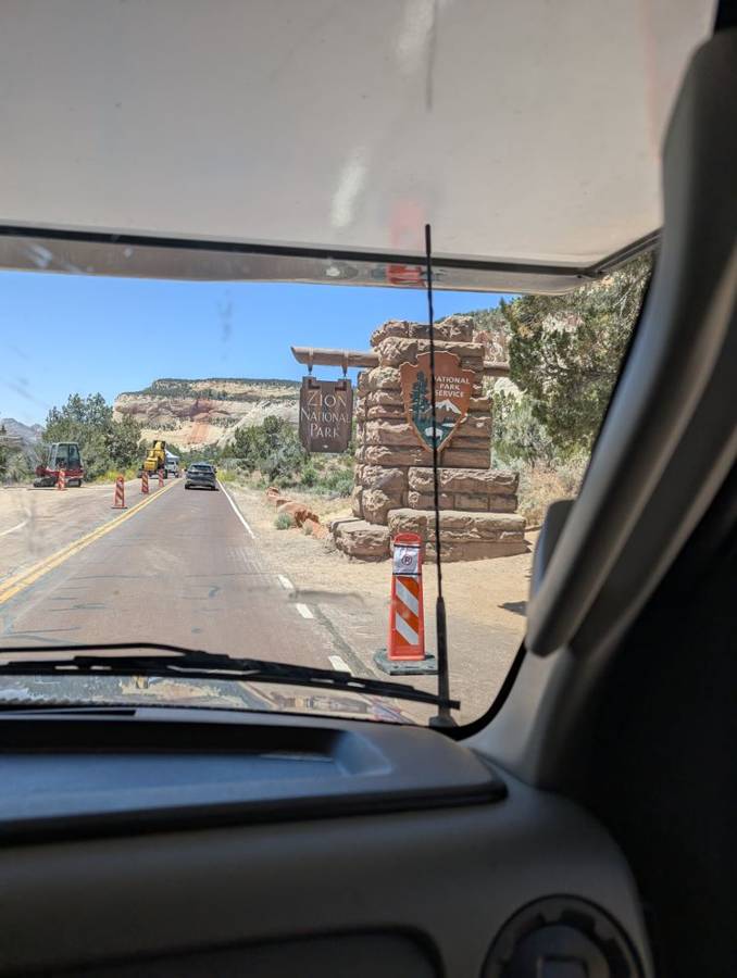
- 4 June Zion east entrance and the Zion–Mt Carmel tunnel
- 4 and 5 June Watchman Campground, Zion: nights 2 and 3
- 5 June West Rim Trail to Scout Lookout
- 5 June The Narrows from Temple of Sinawava
Day 7 · 3 June — Scenic Byway 12, a Road That Is Its Own Destination
South from Nephi
We left Nephi in the morning and drove south and then east through central Utah, on a long, empty road with a blue sky, big white clouds and mountains standing along the horizon. The photographs from the day show the crew in polos and short sleeves, with sunglasses on: a very different wardrobe from the puffer jackets of Part 2. By late morning the road had brought us to Torrey, the small town at the eastern end of Utah’s Scenic Byway 12, which is marked by a brick sign that says so, with the words All-American Road underneath. It is not a title that is given out casually. It is the top category of America’s National Scenic Byways programme, and the highway earned it.
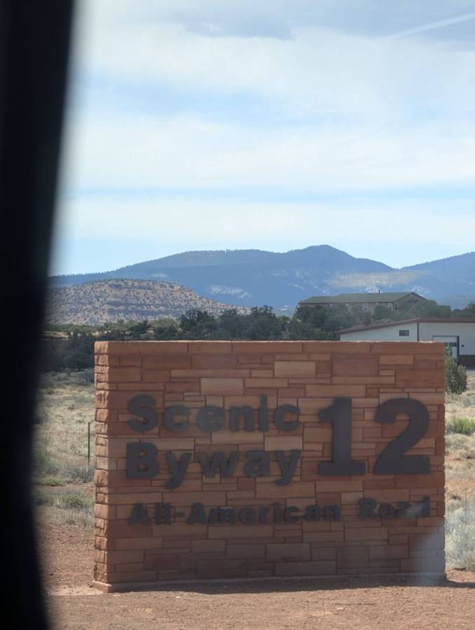
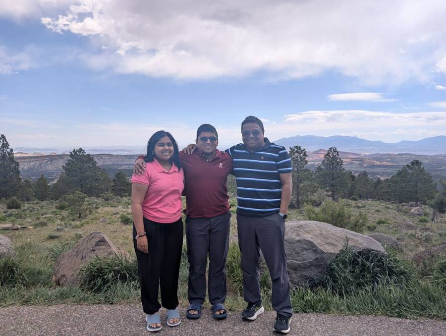
Utah State Route 12 runs for about 123 miles between Panguitch, in the west, and Torrey, in the east, and the whole of it is a designated All-American Road. It crosses the Aquarius Plateau and Grand Staircase–Escalante National Monument, and passes through Red Canyon, Escalante and Boulder. The 30-mile section that climbs and then descends Boulder Mountain is known as the Boulder Mountain Highway. Further on there is the Hogback, a narrow ridge where the road runs along the top with steep drops on either side. The road section between Bryce Canyon Junction and Tropic was first added to the state highway system in 1914, and the present route was assembled from several older roads by 1985. We drove it from Torrey in the east to Bryce in the west.
Boulder Mountain, the Hogback, and a slickrock pull-off
From Torrey the byway climbs onto Boulder Mountain, and we stopped at a roadside overlook with pines, boulders and a wide, hazy view. Past Boulder the road drops towards Escalante, through the stretch of the byway with the steepest drop-offs. We stopped on the Hogback stretch of the road, at an overlook with a wide slab of pale slickrock to park on, and the photographs give a fair idea of the scenery: a sandstone landscape in cream, rust and olive, a guardrail curving away along the rim and a sky with the kind of clouds that only appear in a landscape this big. One of us stood at the edge with arms spread out, which is traditional. The flagship, parked on the rock under a sky full of white cloud, looked smaller than usual.
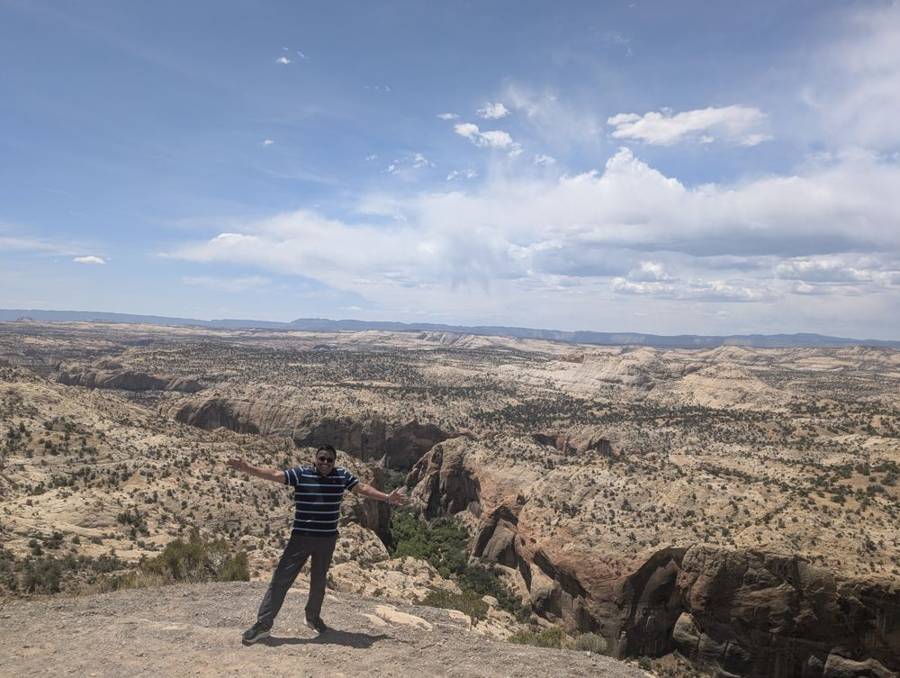
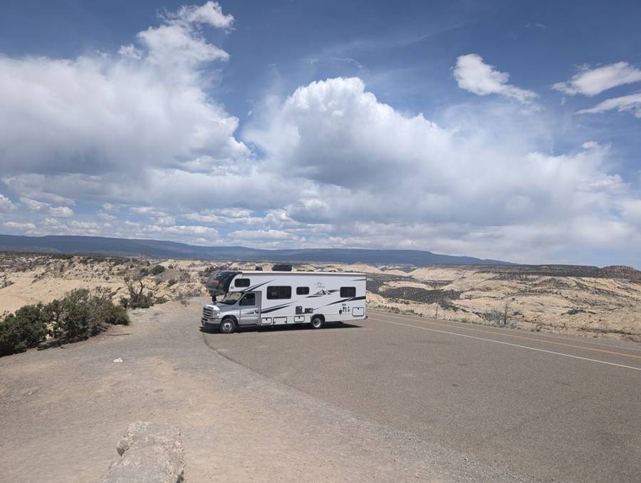
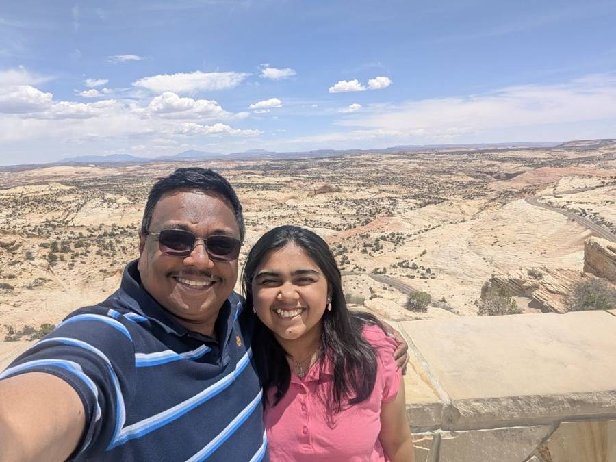
At Escalante we stopped for fuel at a Sinclair station, a brand whose mascot is a green dinosaur, the only dinosaur we saw all day that was not made of sandstone. The plan for the day had also listed a viewpoint above Capitol Reef and the trail to Calf Creek Falls. The photographs do not show either, so I will treat them as skipped. West of Escalante the road crosses Grand Staircase–Escalante National Monument, which a sign by the roadside announces with a federal flourish, and then on to Tropic and Bryce.
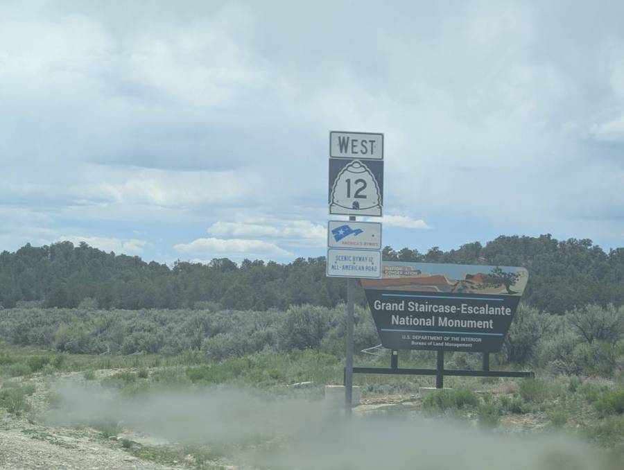
Mossy Cave and a ditch that outlasted everything
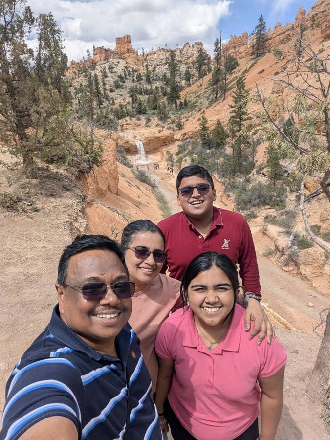
Just before Bryce proper, on the north side of the park, there is a short walk that most people miss because it is not on the amphitheatre. It follows a stream to Mossy Cave and a small waterfall. The stream is not natural: it is the Tropic Ditch, an irrigation canal dug by Mormon pioneers between 1890 and 1892 to supply the towns of Tropic and Cannonville. Every year since, except during the drought of 2002, it has delivered, and the park notes that this little watercourse has carved the lower part of Water Canyon into the smooth, V-shaped sides that you see in an ordinary river canyon, while the upper part remains full of hoodoos. A Dark Lord has to admire a project that has survived more than a hundred and thirty years without a single reorganisation. The four of us posed in front of the waterfall.
The ranks of stone
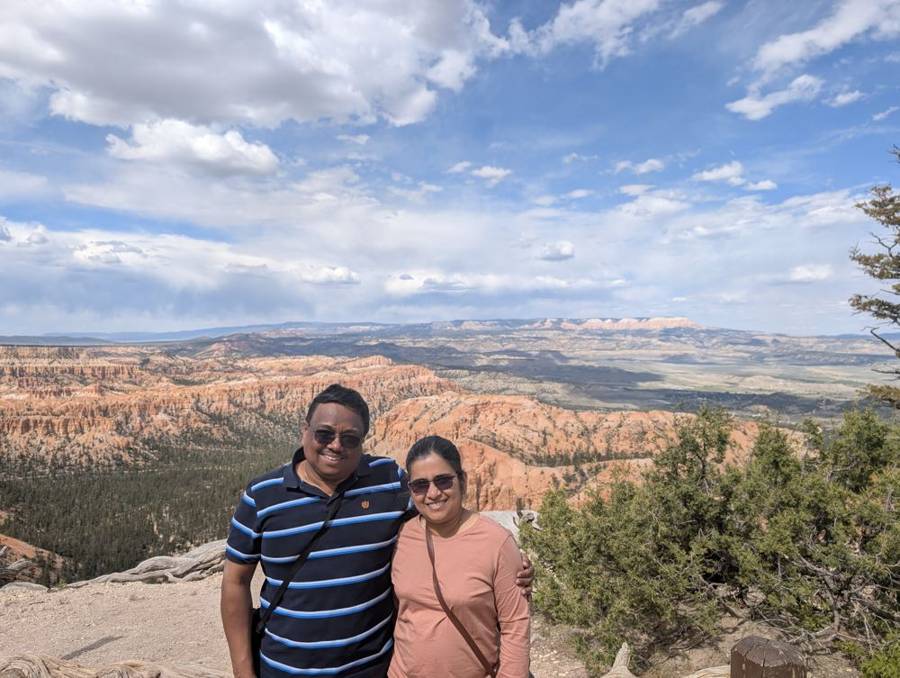
The ranks of the stone army come into view at the rim of Bryce Canyon, which is, as the park itself would be the first to admit, not a canyon. It is a series of huge natural amphitheatres cut into the edge of the Paunsaugunt Plateau, and the figures standing in them are hoodoos: thin spires of rock, some of them as tall as 200 feet, carved by frost, ice and the runoff of rain. In practice that means water seeps into cracks in the soft limestone, freezes, expands and breaks the rock apart, and the park gets enough snow and enough freezing nights for the process to continue. The Paiute people told a different story, in which the hoodoos were the Legend People, turned to stone by Coyote, and they called them Anka-ku-was-a-wits, which means red painted faces. Looking at the first view from the Paria View area, with the pinnacles lit up in the afternoon sun, we found it hard to argue with either account.
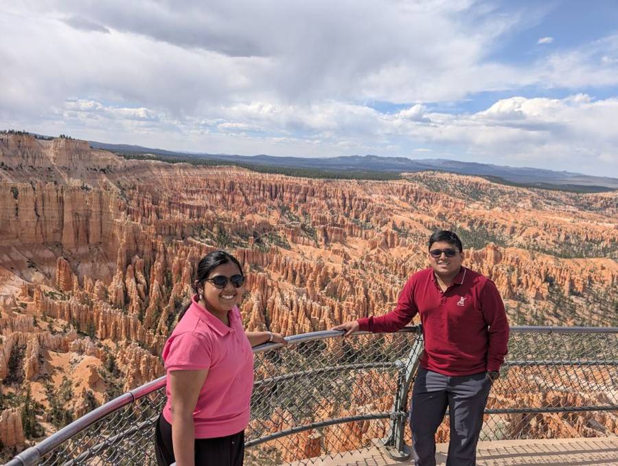
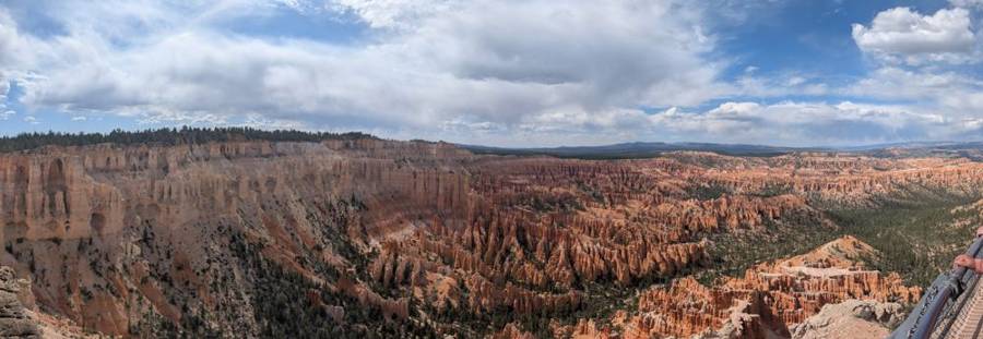
Bryce Canyon became a national monument in 1923 and a national park on 25 February 1928. It covers about 35,835 acres, and its rim sits at between 8,000 and 9,000 feet, which makes it higher, colder and smaller than Zion. The park is named for Ebenezer Bryce, a Scottish settler who homesteaded in the area in 1874. The main park road runs for 18 miles from north to south: the first three miles pass the Bryce Amphitheater viewpoints, and the other fifteen climb to the park’s highest points, Rainbow Point and Yovimpa Point, at 9,115 feet. In 2019 Bryce was designated an International Dark Sky Park, and on a clear night about 7,500 stars are visible to the naked eye. The Empire could not afford that sort of electricity bill.
Sunset Point, Wall Street and Sunrise Point
The rest of the afternoon went on foot. From Sunset Point we walked down into the Navajo Loop, and this is the part of the day I would pick as the one to remember. The loop is 1.3 miles long with a descent of about 550 feet, and its famous side, Wall Street, is a slot where the walls close in on both sides and a few trees have found a way up to the light. The park closes the Wall Street side when precipitation and overnight freezing make it unsafe, and in early June it was open. Thor’s Hammer is the loop’s most famous hoodoo, and it is visible from the route.
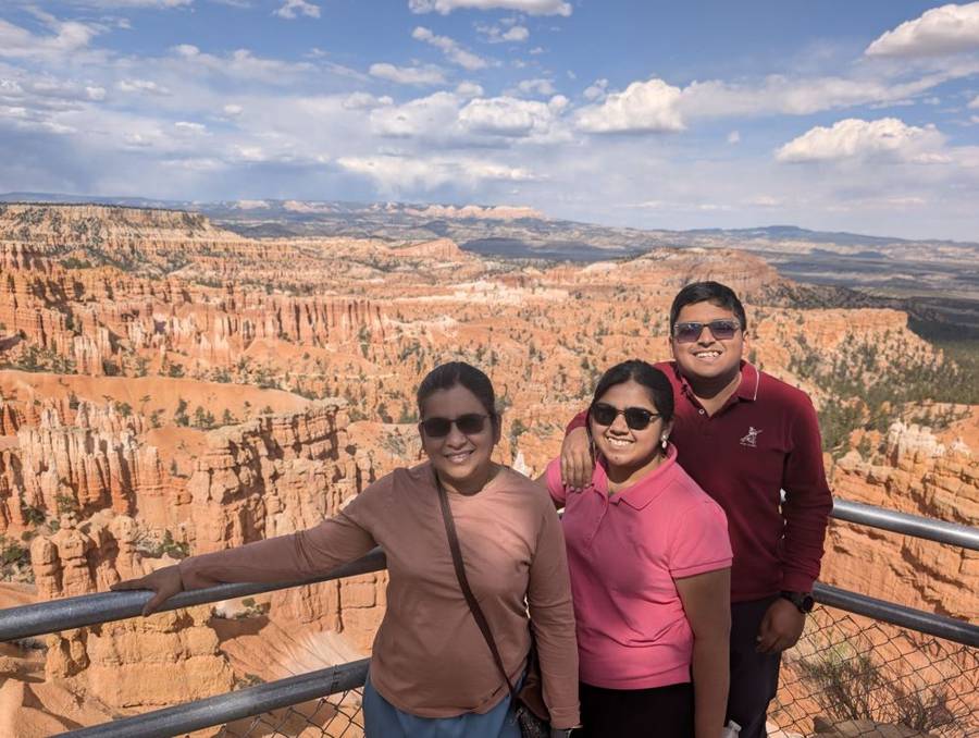
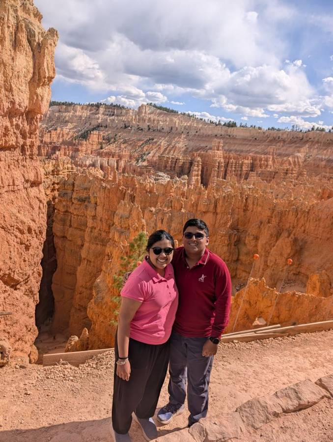
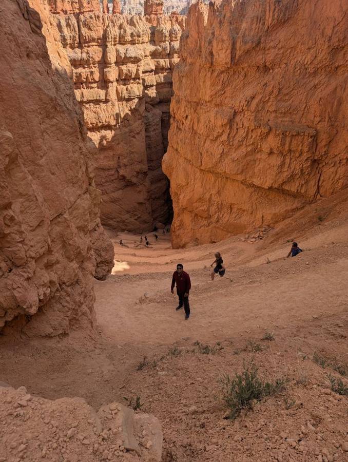
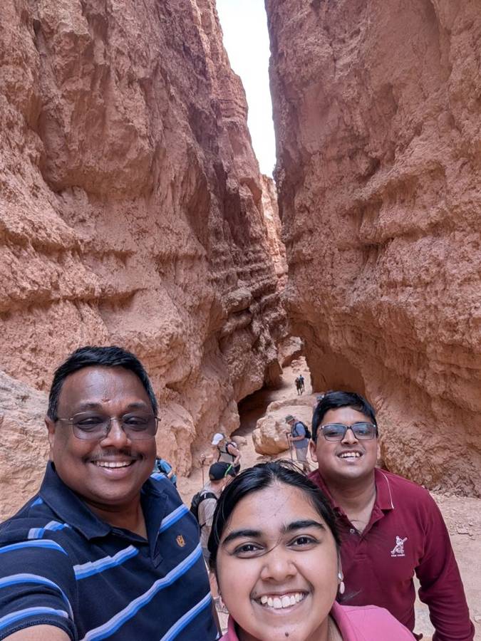
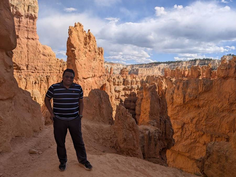
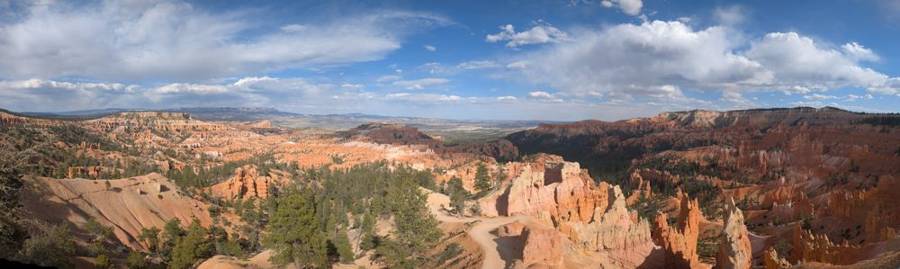
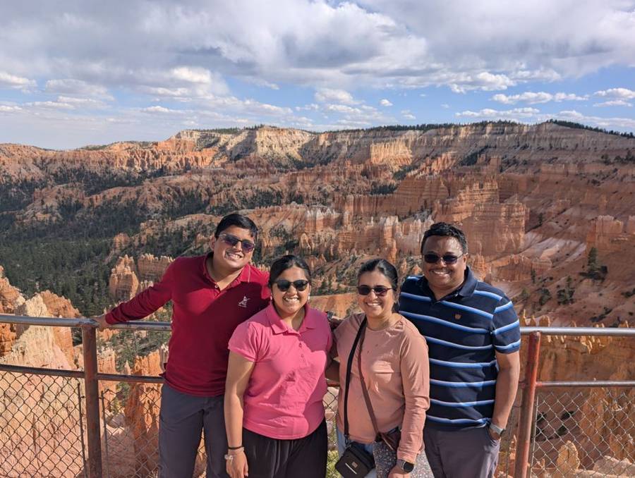
We climbed back up and walked along the rim towards Sunrise Point, where the late afternoon light turned the hoodoos from orange to a deeper red, and the whole amphitheatre looked as if someone had tipped out a box of candles. The photographs show a panorama from the rim and the four of us leaning on a metal fence with the whole ranked army in the valley behind.
Ruby’s
Our campground that night belonged to Ruby’s Inn, which stands just outside the park. In the early evening, with the sun still well up, we took a photograph in front of the Ruby’s Inn sign, with the pine road leading away behind us. Dark Lords love a family business, and this one is a proper dynasty.
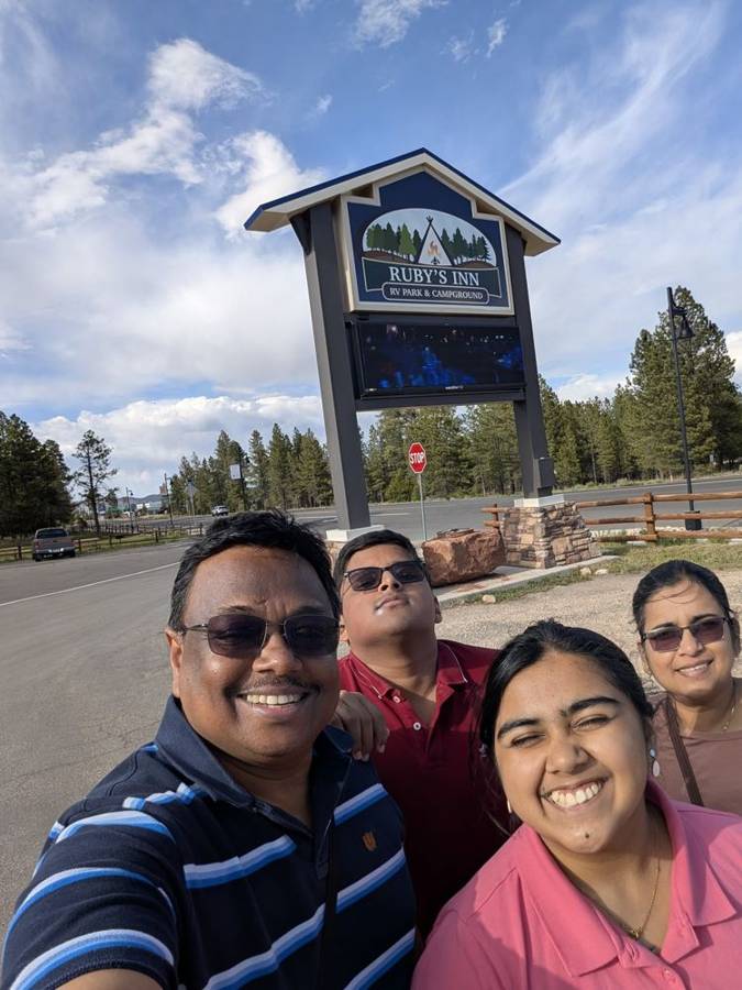
According to its listings, Ruby’s Inn RV Park & Campground has about 250 sites, more than 150 of them with full hookups, with 30- and 50-amp electricity and room for rigs up to 70 feet. It sits at about 7,677 feet above sea level, roughly a mile from the park entrance, and has a heated pool and hot tub, private showers, coin laundry, a general store with groceries, propane and a free seasonal shuttle into the park. It is open all year. The business began with Reuben “Ruby” Syrett, who set up a ranch near the spot in 1916, was given permission to build lodging in 1919, and, once Bryce Canyon became a national monument in 1923, moved the operation to his original ranch and renamed it Ruby’s Inn. The post office at the inn still operates all year, and his son Carl’s descendants continue to manage the property.
Day 8 · 4 June — The Last Days of the Tunnel
The top of the park
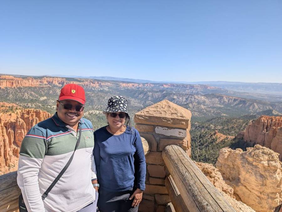
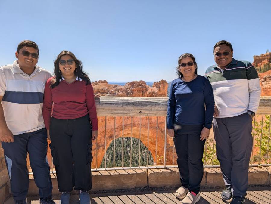
The next morning we went back into Bryce for the Southern Scenic Drive, which climbs for fifteen miles to the high end of the plateau. At Rainbow Point, at 9,115 feet, the highest point in the park, the sky was a deep, cloudless blue, and the photographs show two of us in warm layers, one in a red cap and one in a bucket hat, with distant cliffs fading into the haze behind. On the way back we stopped at Natural Bridge, which looks like a bridge but is, strictly speaking, an arch: the park says it was created by ice expanding in cracks deep within the rock, rather than by a stream. The four of us stood in front of it on a wooden deck under a clear, bright sky.
Red Canyon, with a cameraman
Leaving Bryce, we drove back along UT-12 and through Red Canyon, a short stretch of the Dixie National Forest about twelve miles from the park, where the same limestone as Bryce is carved into vermilion cliffs and a pair of tunnels, blasted through the rock decades ago, carries the highway under arches of red stone. It also gave us a rare photograph of the flagship in motion. Our son got out beside the road and took the photographs and the video, and the white motorhome in the pictures, framed by a red arch and a blue sky, is ours.
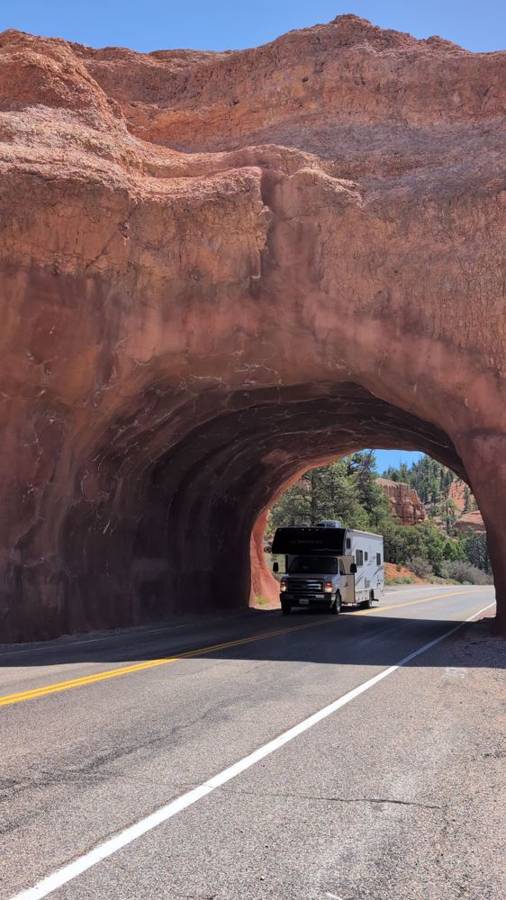
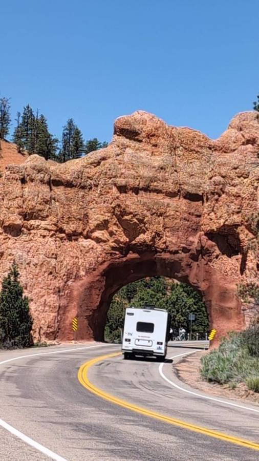
From Red Canyon we took US-89 south and then UT-9 west, which brings you to the east gate of Zion National Park. If you are in a large vehicle, this is the place where the day turns into an operation.
The tunnel
The Zion–Mount Carmel Highway is the way into the heart of the park from the east, and it is one of the most memorable pieces of road in America. Its centrepiece is a tunnel 1.1 miles long, opened in 1930. It is, to put it mildly, narrow, and the park sets limits: 7 feet 10 inches wide, 11 feet 4 inches high and 35 feet 9 inches long for a single vehicle, or 50 feet overall with a trailer. Until the first week of June 2026 the park sold permits to vehicles above those limits, allowing two trips through the tunnel between 8 in the morning and 4:30 in the afternoon, with traffic held to one lane. The flagship counted as oversize, and we paid $15 for both ways.
This was the tunnel’s closing act. The park announced that after that first week of June the permits would no longer be available, and large vehicles would have to turn around at Canyon Junction or the east entrance, with alternative routes that are 80 to 161 miles longer. We were told that 7 June was the last day an RV could drive through, and the tunnel has been closed to vehicles like ours since. So the flagship went through with only days to spare, and a Dark Lord who likes to arrive before a door closes may be forgiven a small show of satisfaction.
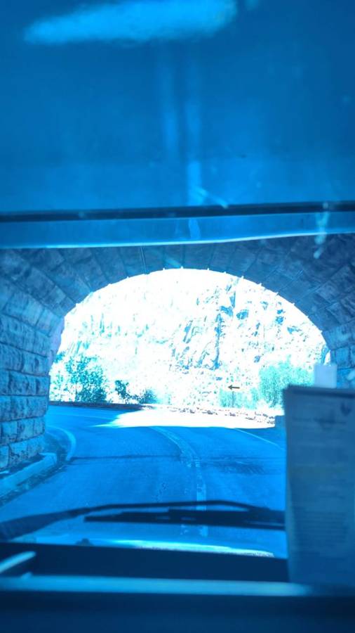
The experience itself was a little scary, but fine. The park’s notice describes ranger-managed, one-lane traffic, and in our case there was no escort car in front of us: we drove down the middle of the tunnel and held our line. The photograph from inside shows a cool blue light, a curved ceiling and a bright arch of daylight at the far end, and then you come out, and the view is fabulous. The road drops in long bends past white-capped rock domes, the Watchman peak appears ahead, and a Dark Lord who has just survived a 1.1-mile trench run in a 28-foot vehicle feels, for a moment, entitled to some kind of medal.
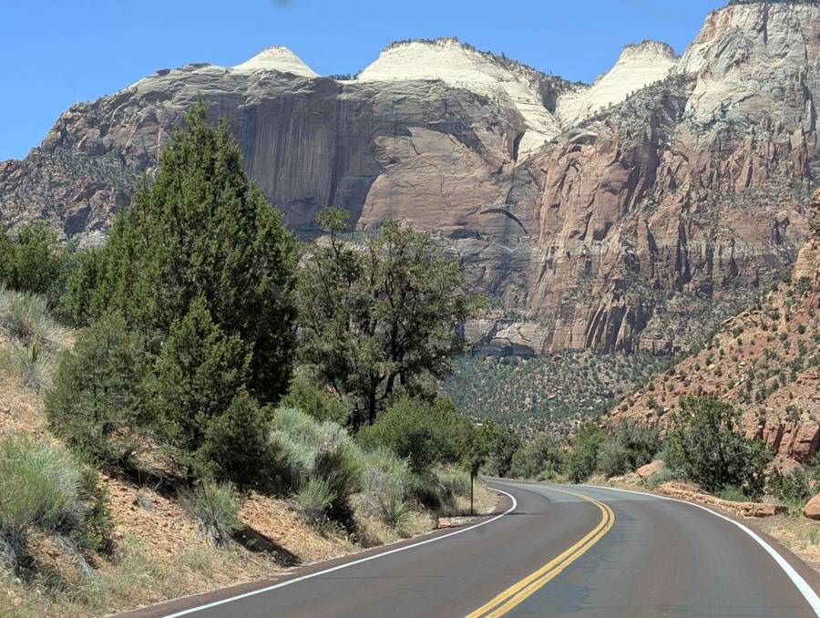
The tunnel is 1.1 miles long and opened in 1930. Under the park’s own notice, vehicles may not exceed 7 feet 10 inches in width (mirrors included), 11 feet 4 inches in height or 35 feet 9 inches in length, a single vehicle may weigh no more than 50,000 pounds, and a combination of vehicle and trailer may be no longer than 50 feet. Until the first week of June 2026 oversize vehicles could buy a permit for two trips through the tunnel during the daytime, with ranger-managed one-lane traffic. From 7 June the permits were no longer sold and large vehicles had to turn round at Canyon Junction or the east entrance. The $15 fee for both ways is what we paid.
Watchman
By mid-afternoon the flagship was parked in its pitch among the cottonwood trees at Watchman Campground, in a loop with a view of red cliffs and a perfectly blue sky. It is named for the Watchman, the peak above it, and a Dark Lord likes being watched over. The shuttle starts from the visitor centre, which is a short walk from the campground, and the afternoon was too good to waste.
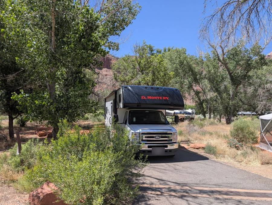
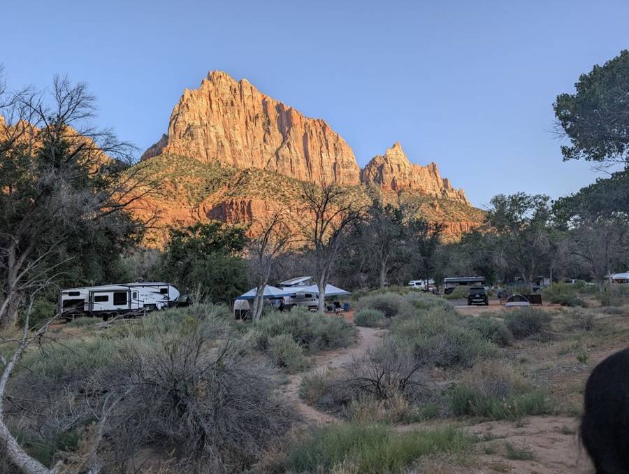
According to its listings, Watchman Campground has 176 sites in four loops, A to D, at about 3,904 feet above sea level. Loops A and B have electric hookups (20, 30 and 50 amp), while loops C and D have none, and there are no water or sewer connections at the individual sites, though the campground has a dump station. The combined length limit for an RV or trailer is 50 feet. Some sites sit right on the Virgin River, and the park warns that there may be toxic cyanobacteria in the river water. It is next to the Zion Canyon Visitor Center and the pedestrian entrance, and standard sites can be reserved up to six months ahead through recreation.gov.
The shuttle, the river and the Hudsons
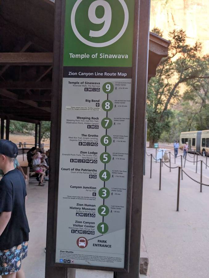
From early April to late October the main Zion Canyon road is usually closed to private cars, and the way up it is the free shuttle, which the park introduced in 2000 to deal with the traffic. In the afternoon we took the bus to the end of the line, stop number nine at the Temple of Sinawava, where the Riverside Walk starts: a paved path, 2 miles out and back, which follows the Virgin River through the narrowing canyon and ends exactly where the pavement stops and the river takes over. In the photographs there is a bus with three of us aboard, and then two of us on the path, then two of us in the stony shallows of the river and the four of us at the very beginning of the Narrows.
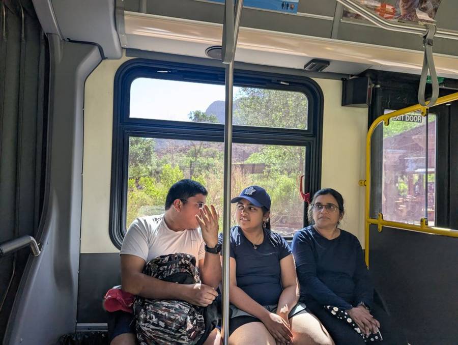
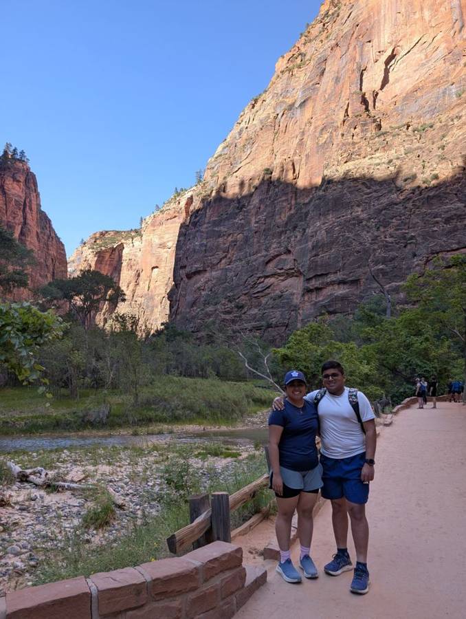
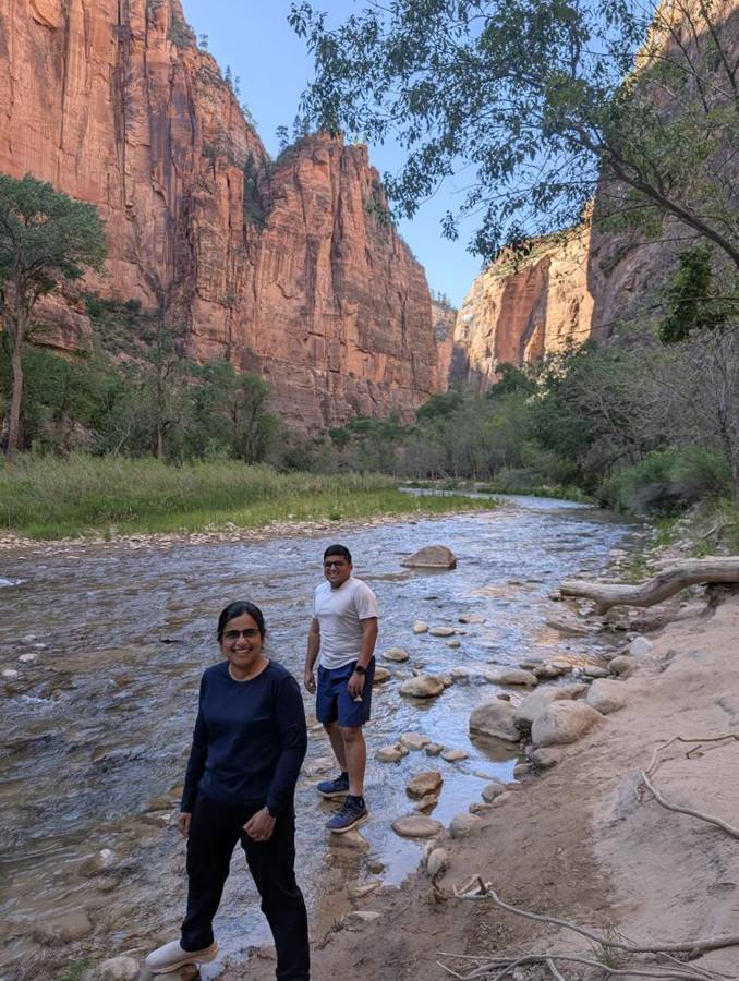
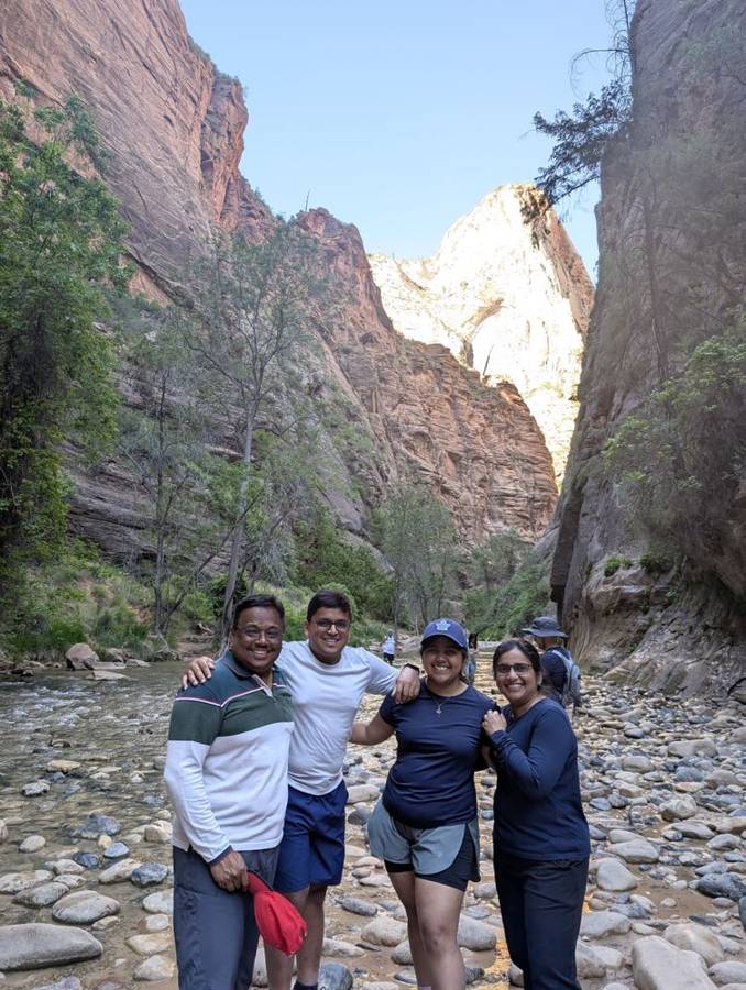
It was on this walk that we met the family who would, for the rest of the week, keep turning up. Matt and Ann Hudson and their children were parked next to us at Watchman, and their little girl took a liking to us from the start. We talked a great deal, met them on the trail twice, and then, a few days later, met them again on a bus at the Grand Canyon, which can only be called fate. They were a very sweet, wonderful American family, and we will not forget them. They are not in these photographs, because there are young children in them, and that is theirs to share, not mine.
We rode the shuttle back down the canyon in the evening. The photographs show the sign at stop nine, the Temple of Sinawava, with the list of stops from one to nine beneath it, and then, at the park entrance, three of us in front of the Zion National Park sign in the last of the golden light.
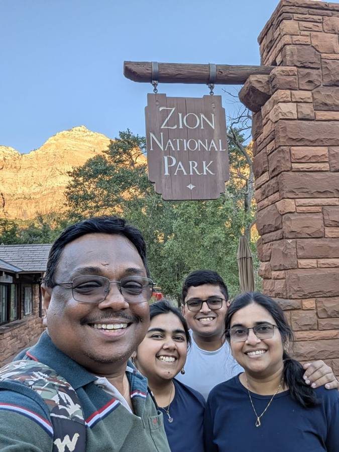
Day 9 · 5 June — A Permit Away From Angels Landing
The queue and the Grotto
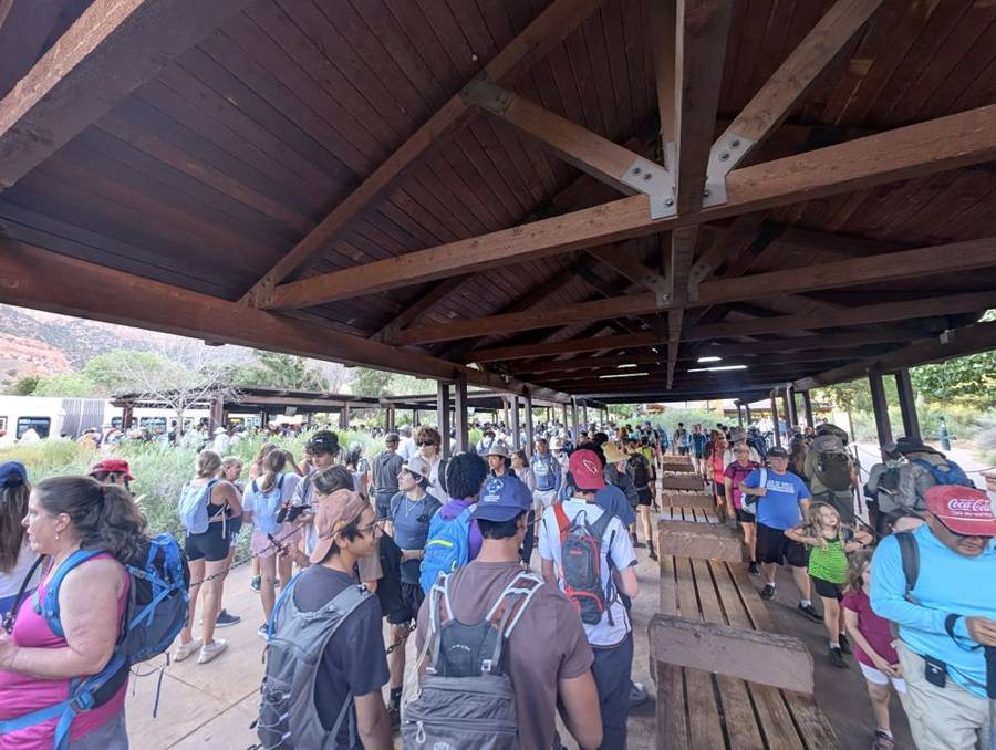
The shuttle queue at the visitor centre was long by eight in the morning, and the photograph shows a covered platform packed with hikers in hats, backpacks and shorts, all waiting for buses that are being filled almost as soon as they arrive. The park is one of the busiest in the country, and the shuttle is how it copes. The sky was clear and the day would be hot, and the crew was wearing blue polos, shorts and hats.
Scout Lookout, and the line the Empire respects
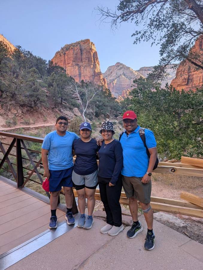
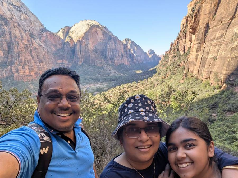
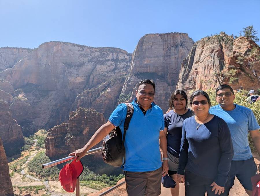
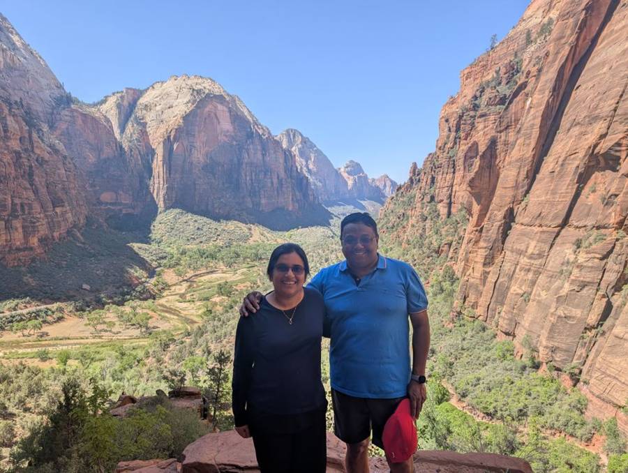
Our destination was the West Rim Trail, which starts across the footbridge at the Grotto stop and climbs the canyon wall. The photographs show a morning sequence of the trail at its best: pale sandy paths under trees, a long view back along the canyon, and switchbacks cut into the cliff, among them Walter’s Wiggles, a series of 21 tight turns that lift you towards Scout Lookout. The hike to the lookout is 1.9 miles each way and gains 1,187 feet, and what you get at the top is the valley laid out below you.
Beyond Scout Lookout the route goes on to Angels Landing, along a narrow ridge with chains bolted to the rock, and for that section a permit is required, obtained through recreation.gov. We stopped at Scout Lookout and did not go on. The Empire has always respected paperwork, and it was an easy rule to follow at a viewpoint like this one: the photographs of the group at the lookout, in blue polos, with the whole valley behind them, are a fair reward for a morning’s climbing.
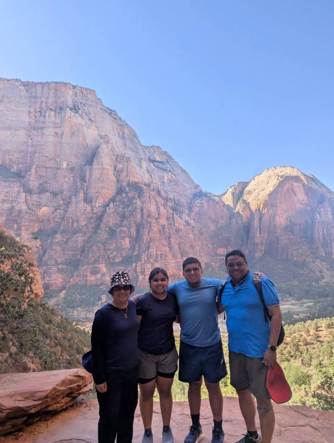
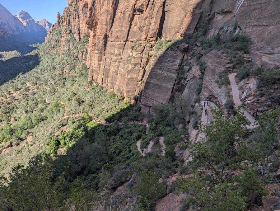
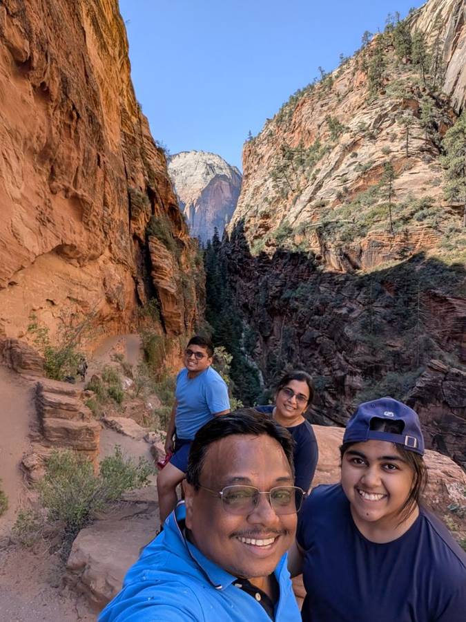
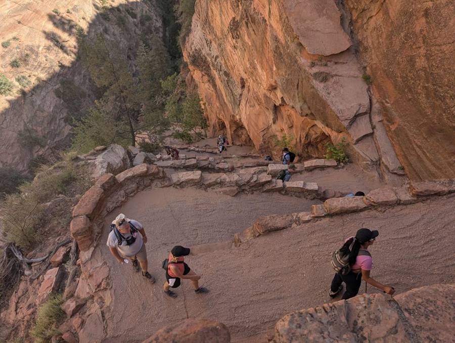
Zion was first protected on 31 July 1909 as Mukuntuweap National Monument, and was redesignated Zion National Park on 19 November 1919. It covers about 146,600 acres, with elevations from about 3,666 feet at Coalpits Wash to 8,726 feet at Horse Ranch Mountain. Zion Canyon, cut by the North Fork of the Virgin River through Navajo Sandstone, is about 15 miles long and up to 2,640 feet deep. The Narrows, upstream of the Temple of Sinawava, is a gorge only about 20 feet wide in places and as much as 2,000 feet tall. The Zion–Mount Carmel Highway and tunnel opened in 1930, and the shuttle system began in 2000.
The Court of the Patriarchs
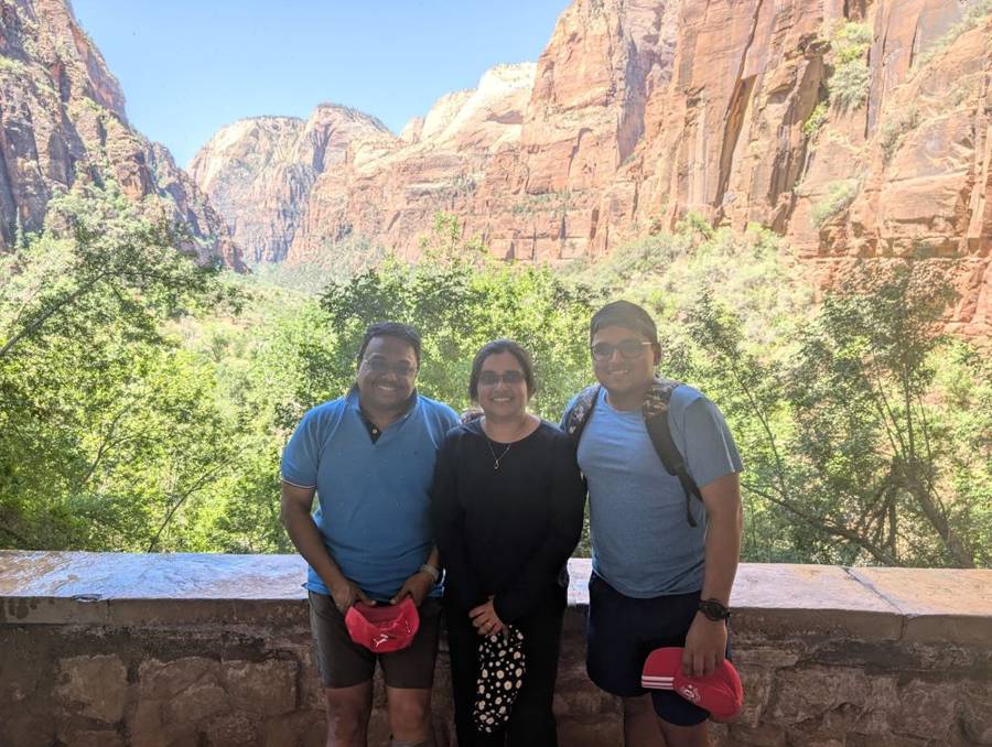
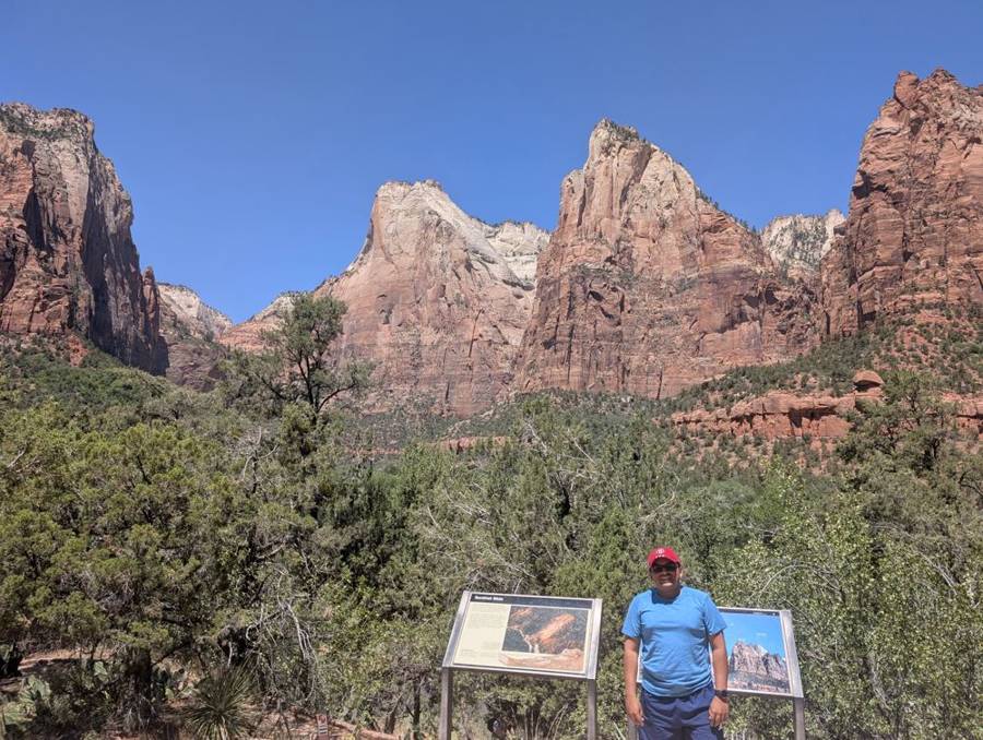
On the way back down we stopped at the Court of the Patriarchs, a viewpoint a short and steep walk from shuttle stop 4, with three great peaks lined up across the canyon. A Methodist minister gave them their names in 1916: Abraham, Isaac and Jacob. In the photographs there is a stone wall with a hazy, green canyon behind it, and then a man in a red cap in front of two information boards, with all three peaks lined up behind him. It is a very good name for a set of mountains, and a landscape that needs no help from the Dark Side.
Into the Narrows
The afternoon belonged to the river. We took the shuttle again to the Temple of Sinawava, walked along the Riverside Walk to the point where the pavement ends, and waded in. The Narrows is exactly what it sounds like: the part of the canyon where the Virgin River has the whole floor to itself, with sandstone walls that rise up to 2,000 feet, a strip of sky above and nothing underfoot but cold water and round stones. We rented no gear. We simply waded, and at the deepest we were in water up to the chest. The verdict is short and decisive: it was a very good experience, with cold water and steep cliffs, and unlike anything we have seen before. A Dark Lord who once stood in a narrow chamber with the walls closing in at the Death Star would recognise the layout. The difference is that this time the water was clean and the view was worth the walk.
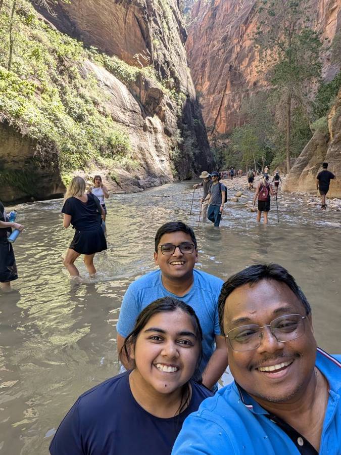
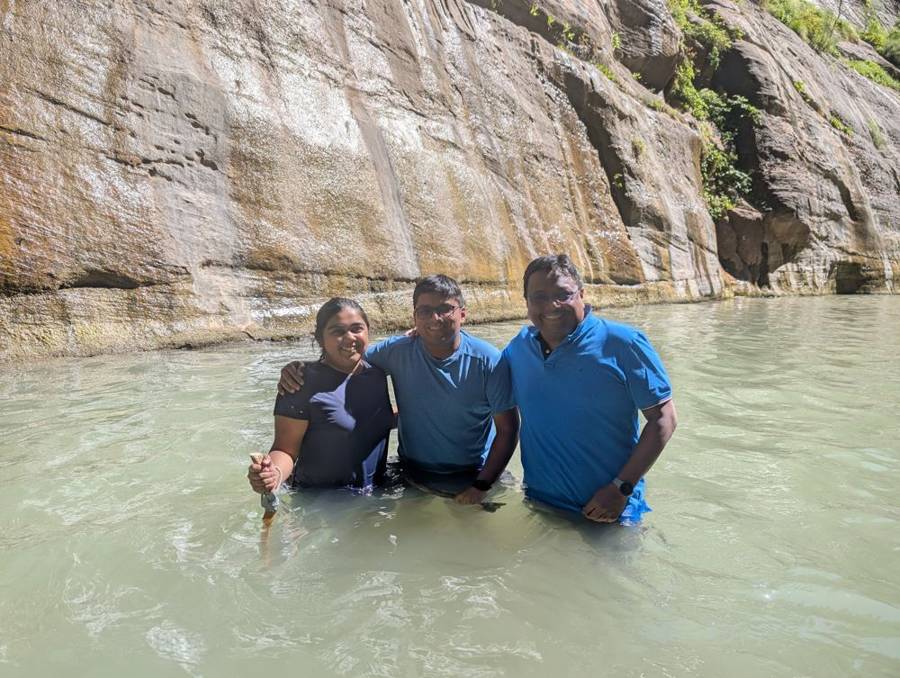
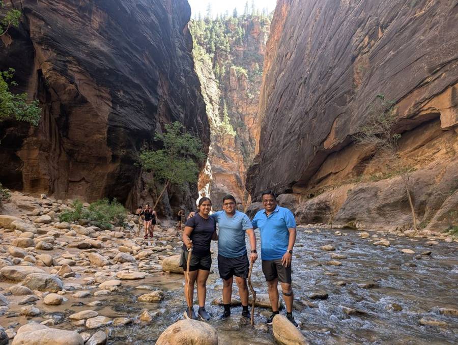
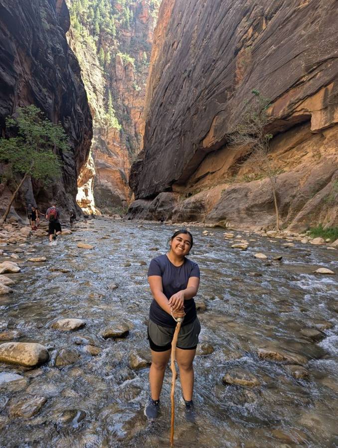
One more note about the Narrows. The main danger in this canyon is a flash flood, which can arrive from rain that fell far upstream, and the advice is to check the forecast and any flood warning before going in. The afternoons, in the park and in the RV, were hot, but the evenings were pleasant, which is the right way round for a stay in a desert.
Plan against reality
| Day | Route | Miles: plan / tracked | What the plan said / what happened |
|---|---|---|---|
| 3 June | Nephi to Bryce Canyon | 235 / ~220 | Plan: Byway 12 with a Capitol Reef overlook, Boulder Mountain, Escalante and Calf Creek. Actual: Boulder Mountain and Hogback overlooks, Head of the Rocks, fuel at Escalante, Mossy Cave and the Bryce rim; no photographs of Capitol Reef or Calf Creek. |
| 4 June | Bryce Canyon to Zion | 121 / ~115 | Plan: Southern Scenic Drive and the Canyon Overlook Trail before the tunnel. Actual: Rainbow Point and Natural Bridge done; Canyon Overlook Trail skipped, no parking; tunnel passed with a permit. |
| 5 June | Zion, by shuttle | minimal / no driving | Plan: shuttle, Riverside Walk and Emerald Pools. Actual: Scout Lookout, Court of the Patriarchs and the Narrows; Riverside Walk was on 4 June; no photographs of Emerald Pools. |
Tracked miles come from our phones’ location history, which is a good guide to the route and a poor one to exact distances inside a national park.
The next dispatch is the finale of the RV leg: Part 4, with Page, Horseshoe Bend, the Grand Canyon and handing the flagship back.