This is the fourth dispatch from the RV leg, the last of the road stories, still written from the Dark Side. The places, the photographs and the facts are real. The melodrama is not. Earlier parts: Part 1 (Denver to Rock Springs), Part 2 (Rock Springs to Nephi) and Part 3 (Bryce Canyon to Zion). The verdict on the whole RV leg follows in Part 5.
THE DARK LORD’S LOG. DAYS TEN TO TWELVE.
Every campaign ends with a handover, and every handover has a deadline. The last three days of the RV leg held a dam the Empire would have been proud to commission, a river that makes a perfect U-turn at the bottom of a cliff, the Grand Canyon itself, a night among eighty telescopes in a wind that had not read the forecast, and an email that moved the finish line by an hour. This dispatch is about those three days, about the moment Horseshoe Bend appears from nowhere, and about how the flagship was returned.
The route
Eleven numbered stops over three days, with a filled circle for the place we slept. The first map shows the whole run from Zion to Las Vegas. The second zooms in on the village end of the Grand Canyon’s South Rim.
- 6 June Watchman Campground, Zion: departure
- 6 June Glen Canyon Dam overlook, Page
- 6 June Page: Walmart, fuel and lunch
- 6 June Horseshoe Bend
- 6 June Desert View Watchtower
- 6 June Grandview Point
- 6 and 7 June Trailer Village, Grand Canyon: nights 1 and 2
- 7 June Mather Point and the Visitor Center: the rim, the sunset and the Star Party
- 7 June Hermit Road viewpoints, west rim
- 8 June A short stop near Kingman
- 8 June RV depot, Las Vegas: handover
Day 10 · 6 June — A Dam, a Bend and a Long Straight Road
Across the border, back an hour
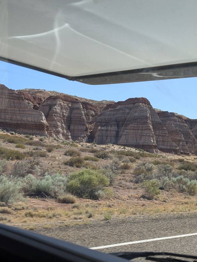
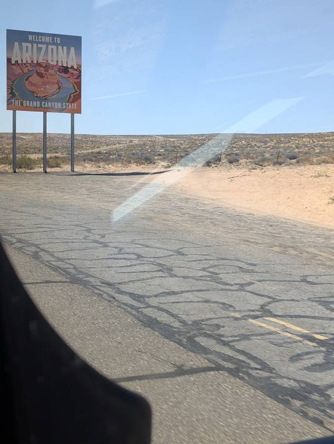
We left Zion early in the morning, and the first job of the day was the tunnel again. The second half of our $15 permit took the flagship back through the Zion–Mount Carmel tunnel, this time eastbound, on what by the park’s calendar was one of the last days that a vehicle our size could do it. Then we turned south across the red-cliff country of southern Utah, with banded buttes and sage that changed with every mile. Later in the morning a sign beside the road welcomed us to Arizona, and the clocks went back an hour: Arizona does not observe daylight saving time, so in summer it keeps the same time as California and sits an hour behind Utah. The Dark Side is accustomed to controlling time, but it is useful to have a state that does the job for you.
Glen Canyon Dam
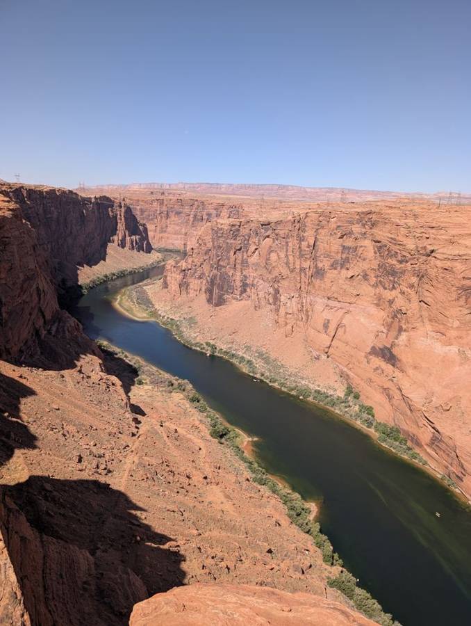
Our first stop in Arizona was the town of Page and the dam that created it. Glen Canyon Dam stands 710 feet high, spans 1,560 feet of the Colorado River and holds back Lake Powell for 186 miles upstream. It took ten years to build, from 1956 to 1966, and Lady Bird Johnson gave the dedication speech in front of a crowd of 3,000. Page was built for the dam: the company town was created to house the workers. The photographs from the overlook show the grey curve of the concrete wall in a deep red canyon, and the Colorado River below it, dark green between the red walls as it leaves the dam. A Dark Lord has to approve of any structure that is 710 feet tall, holds back a lake and needed a whole city built around it.
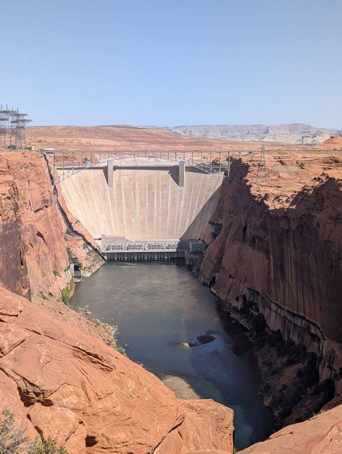
Glen Canyon Dam is an arch-gravity dam 710 feet high and 1,560 feet across, built by the US Bureau of Reclamation between 1956 and 1966 and dedicated on 22 September 1966. It contains more than 5.3 million cubic yards of concrete and created Lake Powell, which holds about 25 million acre-feet of water and stretches 186 miles upstream. Eight turbines produce 1,320 megawatts of electricity. The company town of Page was built to house the construction workers, and the Glen Canyon Bridge, completed in 1957, stood 700 feet above the river and was at that time the highest bridge of its type in the United States.
Walmart and lunch
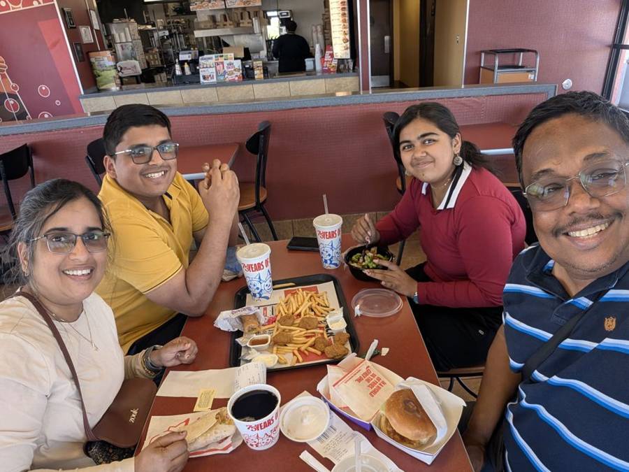
The practical half of the day was Page itself. The flagship needed fuel and the galley needed groceries, and we stopped at a Walmart for both, which stocked the galley for the rest of the leg. Lunch was at a fast-food restaurant in town, and the photograph shows the four of us around a table of fries, burgers and drinks.
Horseshoe Bend
Horseshoe Bend lies about five miles south of the dam’s visitor centre, and the walk to it is a hardened path of 1.5 miles there and back, with no water and no toilets, so everything depends on what you carried. The parking lot belongs to the City of Page, and the park-pass system does not cover it. Here is the thing I would tell anyone going: you cannot see the bend until you are on the edge. It does not announce itself, and then you are standing on the rim of a sandstone cliff with the Colorado River making a perfect horseshoe turn about a thousand feet below you. We could see boats on the water. It was unbelievable, and surreal.
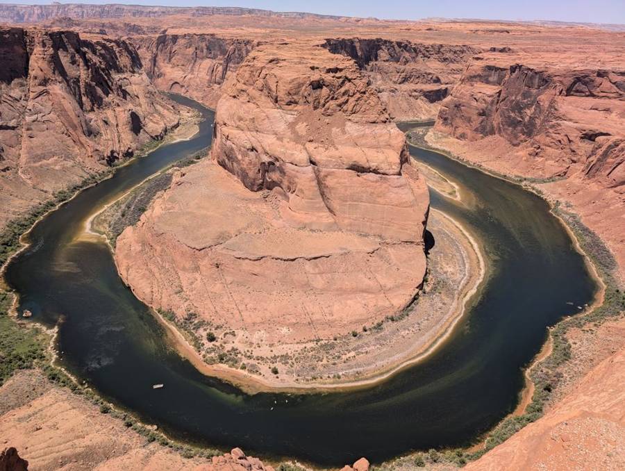
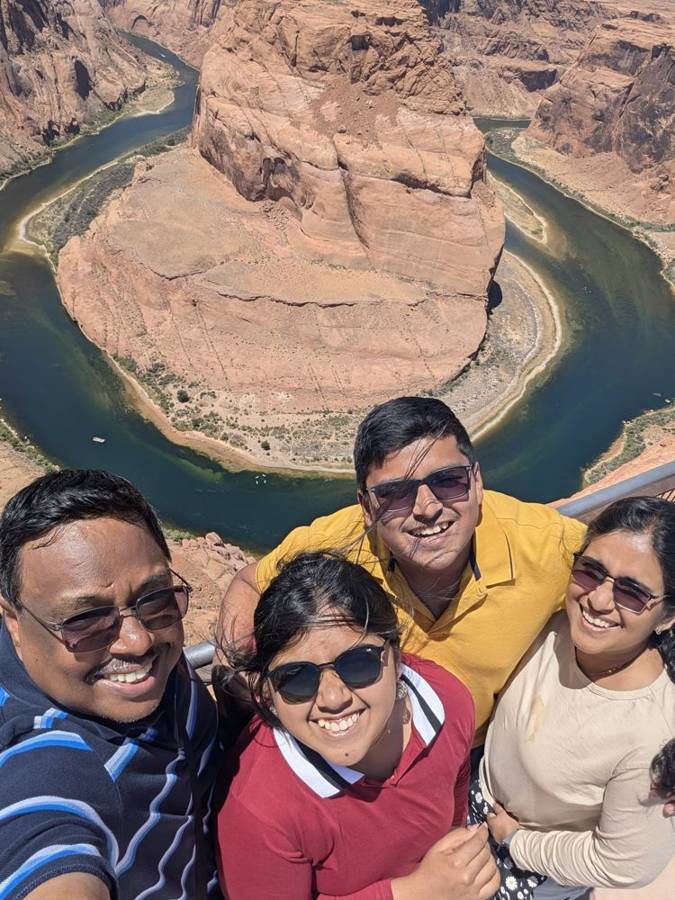
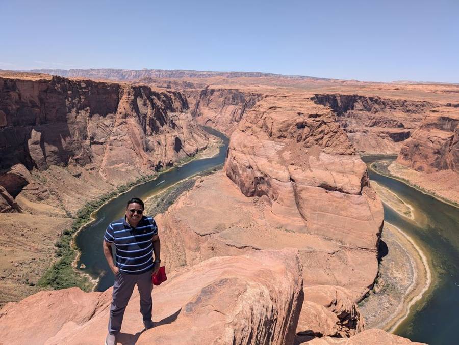
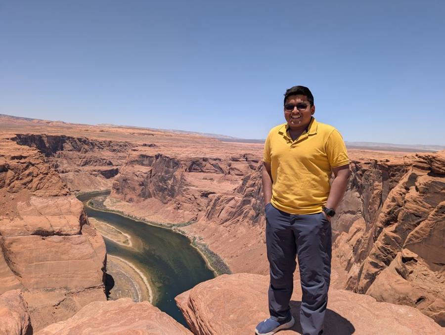
Horseshoe Bend is part of Glen Canyon National Recreation Area, off US-89 about five miles south of the Carl Hayden Visitor Center at the dam. The Colorado River has cut a roughly 1,000-foot-deep, 270-degree horseshoe curve, an entrenched meander formed over about five million years after the uplift of the Colorado Plateau. The path is 1.5 miles round trip over hardened ground and there is no water or toilet along it. Parking is on city land run by the City of Page, and America the Beautiful passes are not accepted there. Drones are not allowed.
Ninety-three miles with no stops
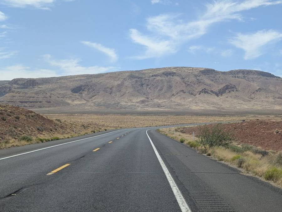
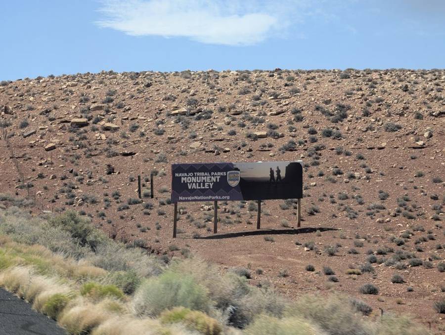
The afternoon was one long drive. We turned south on US-89 and then west, a road of about 93 miles with, as far as the phone’s record shows, no stops at all, across a high desert of low scrub, red earth and big blue sky. This is Navajo Nation country, and a billboard beside the road advertising Navajo Tribal Parks’ Monument Valley marks it. The flagship ate up the miles without complaint.
Desert View and Grandview
We reached the eastern edge of Grand Canyon National Park in mid-afternoon, at Desert View. The Desert View Watchtower stands there at the end of a 23-mile drive from the village, a round stone tower 70 feet high, completed in 1932 and designed by the architect Mary Colter to echo the watchtowers of the Ancestral Puebloan people, though it is far taller than any of them. Inside, it is decorated with murals by the Hopi artist Fred Kabotie, and there is an observation deck with black glass mirrors for looking at the canyon in a different light. A Dark Lord is a connoisseur of towers, and this was a good one: it stands on the rim with a view in every direction and a gift shop on the ground floor.
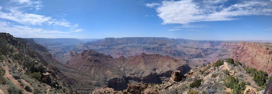
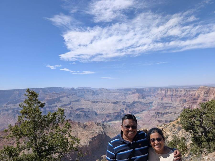
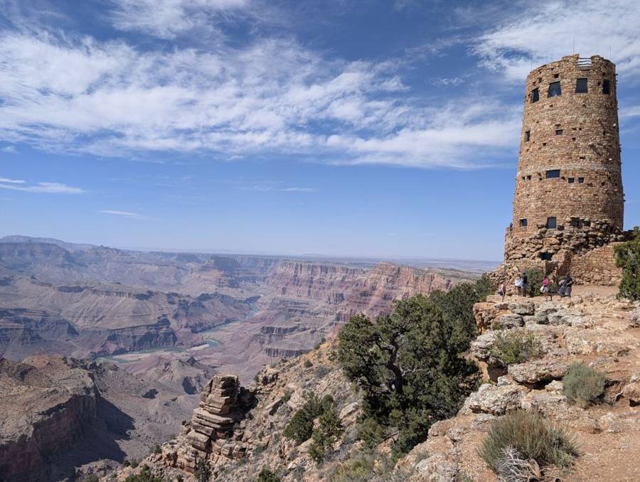
On the way on towards the village we stopped once more, at Grandview Point, where the four of us sat on a low stone wall beside an interpretive sign, with the canyon fading away behind us in layers. The plan had also listed the viewpoints at Moran, Lipan and Navajo Points, which are on the same road. The photographs do not show them.
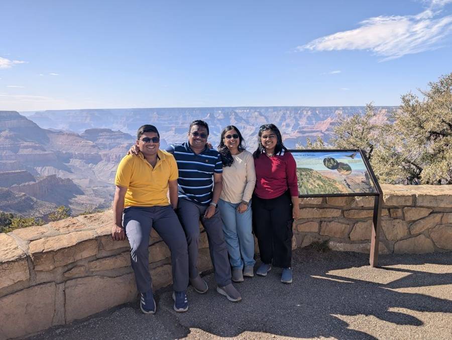
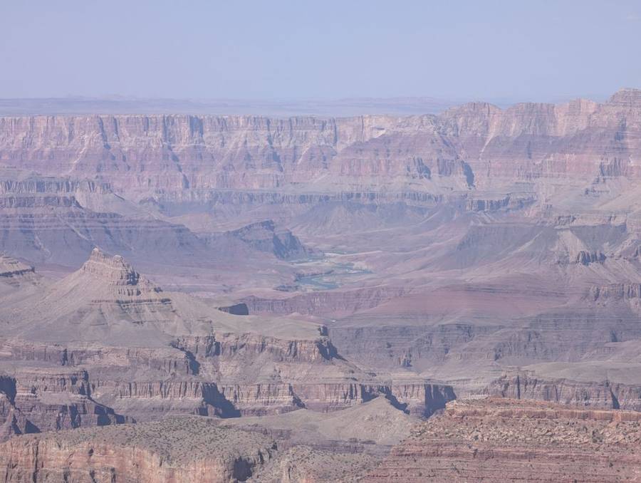
The Grand Canyon is 277 miles long, up to 18 miles wide and more than a mile deep, and the rocks on view span nearly two billion years of the Earth’s history, from ancient Proterozoic layers at the bottom to the Kaibab Limestone at the rim. It became a national monument in 1908 and a national park in 1919. Desert View Drive runs for about 23 miles from the village to Desert View and the East Entrance, passing Grandview, Moran, Lipan and Navajo Points on the way, and Desert View itself is at about 7,438 feet. Hermit Road, the western route, is 7 miles long and open to the shuttle from 1 March to 30 November. Mather Point, near the visitor centre, is named for Stephen Mather, the first director of the National Park Service, and on a clear day the view runs more than 30 miles to the east and more than 60 to the west.
Trailer Village
The last stretch took us to Trailer Village, the RV park inside the national park. It was nice, and basic. In the photograph the flagship stands on a gravel pitch among the pines with a pair of yellow wheel chocks at the front. We cooked all our meals aboard, with the supplies from Page.
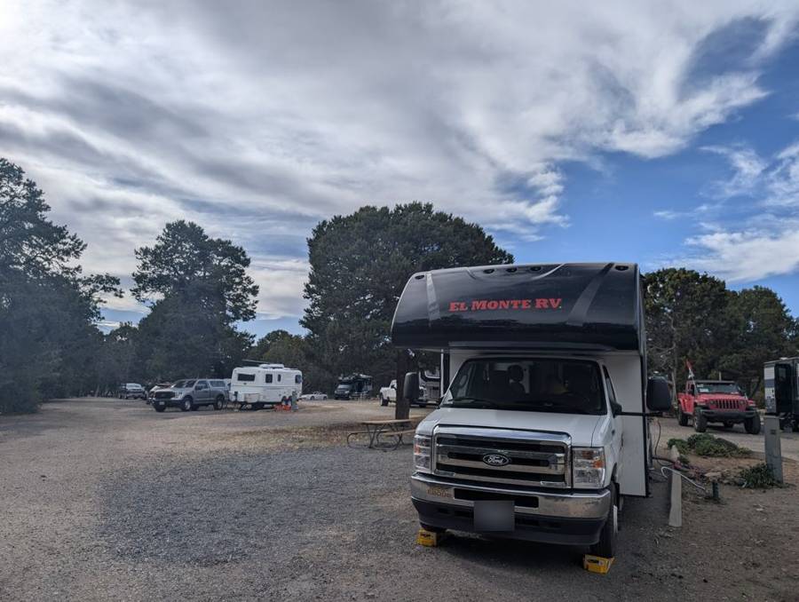
According to its listings, Trailer Village has pull-through sites with full hookups (water, sewer, and 30- or 50-amp electricity), room for rigs up to 50 feet, and a maximum stay of 14 days. It is open year-round and takes reservations. It is inside Grand Canyon National Park, in Grand Canyon Village.
Day 11 · 7 June — The Rim, the Sunset and Eighty Telescopes
The rim, in blue and sweaters
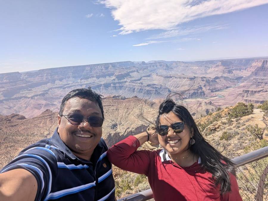
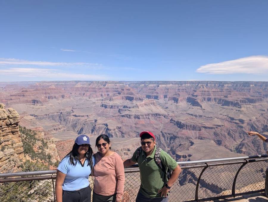
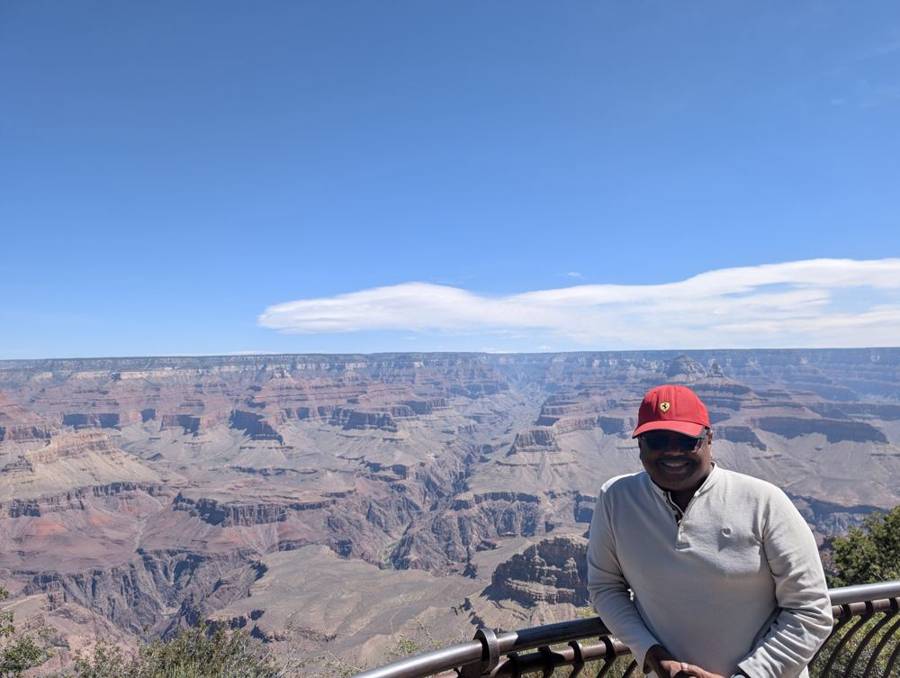
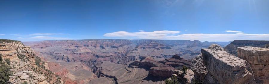
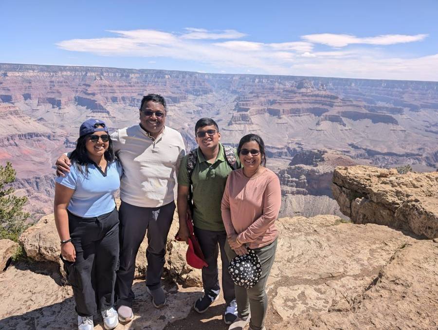
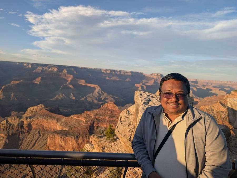
The day was ours to spend on the rim, and the weather behaved: a clear blue sky and sunshine, with the crew in light layers during the morning. By mid-morning the photographs show us at a metal railing on the rim near the village, around Mather Point, with the canyon a rich red-brown and mauve below us, a sweeping panorama and a series of portraits at the rail, in a cap, in sunglasses and in sweaters. Mather Point is, for many people, the first view of the canyon, a brief walk from the Visitor Center, and it is named after Stephen Mather, the first director of the National Park Service. The Dark Lord respects any administrator who gets a viewpoint named after him.
Hermit Road, by bus and by boot
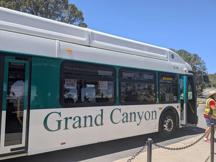
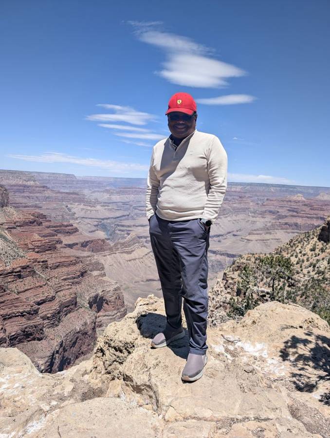
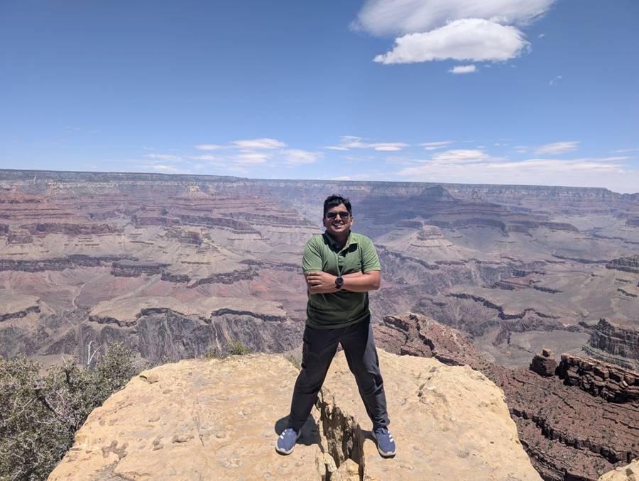
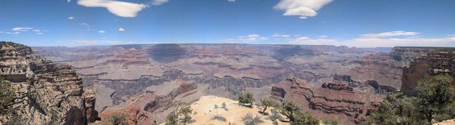
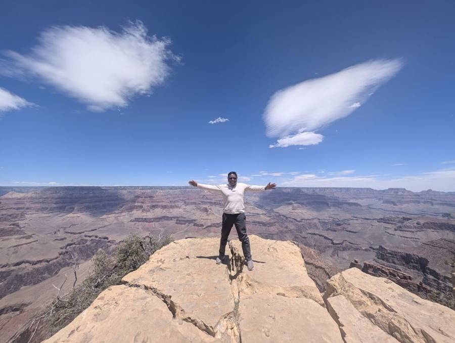
The main part of the day was the western rim. From March to the end of November the park runs a free shuttle along Hermit Road, which winds for seven miles to Hermits Rest, with nine viewpoints on the way. Hopi Point and Mohave Point are the ones people recommend for sunset and sunrise, and Hermits Rest, at the end of the road, was built in 1914 by Mary Colter in the form of an old miner’s cabin with a giant fireplace and a front porch. The photographs from the western rim show rocks projecting out over the canyon, and us on them: one of us standing with arms folded, another spreading his arms to the whole canyon, and a panorama that includes a tongue of pale rock reaching out into the void. Somewhere on those shuttle buses we ran into the Hudsons again, as I described in Part 3.
Sunset at Mather Point
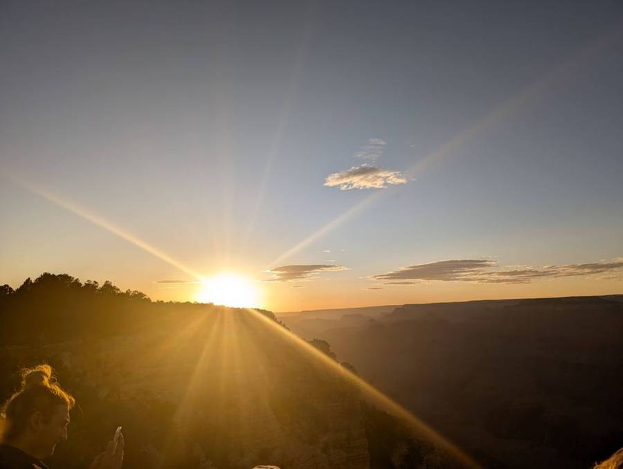
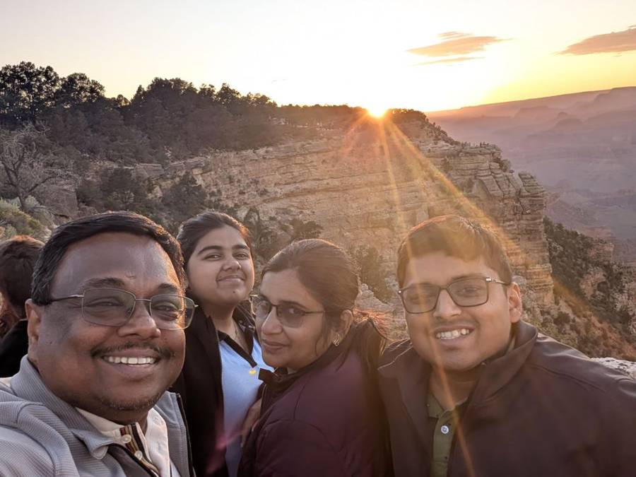
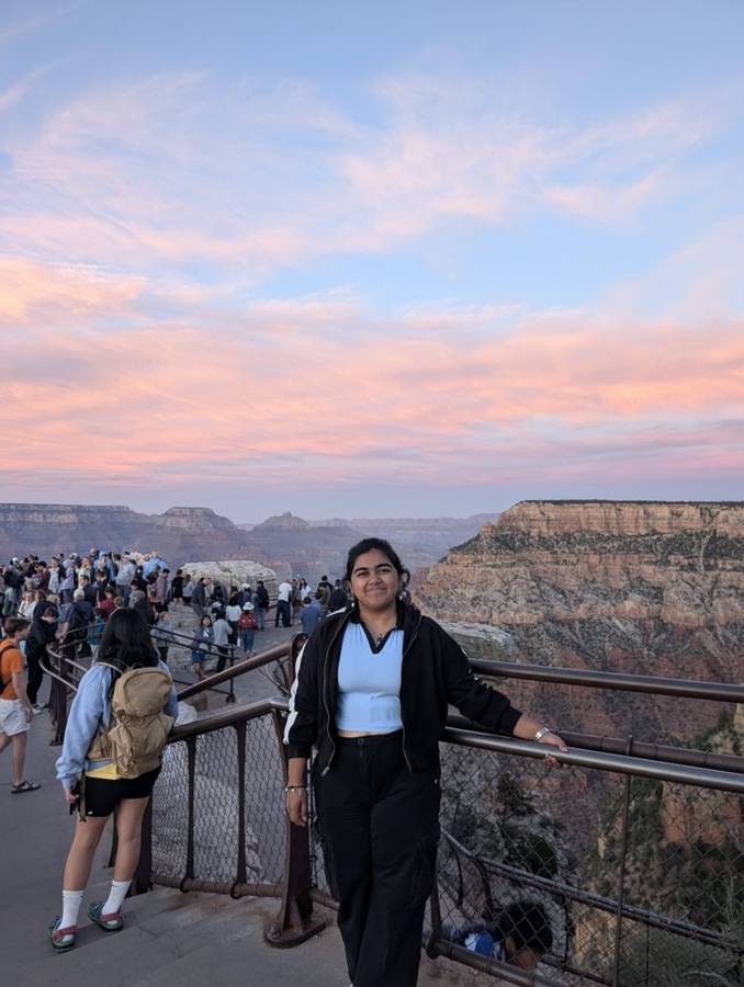
By evening we were back at the rim for the sunset. We stood at Mather Point in the cooling air, in jackets, among a crowd of other visitors, as the sun slid down behind the pines and the sky and the canyon changed colour. The photographs show the sun low and blazing over a dark ridge, long rays across the sky, a selfie of the four of us with the last light behind us, and afterwards a sky of pink and orange above the canyon and the crowd lined up at the railing. A Dark Lord who has spent his life in the shadows can still appreciate a good sunset.
Eighty telescopes, and a wind with plans
The evening had a surprise in reserve. Our stay at the Grand Canyon happened to coincide with the Grand Canyon Star Party, an annual event on the South Rim, held this year from 6 to 13 June, in which volunteer amateur astronomers from the Tucson Amateur Astronomy Association set up their telescopes in a large lot behind the Visitor Center and let visitors look through them, free with the park entrance fee. The event begins at sunset, there are programmes at 8 in the evening and constellation tours later, and the best viewing is after nine. We saw about eighty telescopes set up for the stars and constellations, which is a number a Dark Lord can appreciate: an array that size points at things it has not yet annexed.
We went, and we could not stay long. The park advises you to dress warmly because temperatures drop sharply after sunset, and we had underestimated the wind chill. It was very cold, and we had to rush back to the RV.
The South Rim Star Party is sponsored by the Tucson Amateur Astronomy Association, whose volunteers share their equipment and expertise. This year it ran from 6 to 13 June. Telescope viewing is in the large lot behind the Visitor Center, nightly programmes are at 8 in the plaza before the Visitor Center, and constellation tours start at 9. The event begins at sunset, with the best viewing after 9 pm and most telescopes coming down by about 11. It is free with the park entrance fee, and the park advises visitors to bring red flashlights and dress warmly.
Day 12 · 8 June — The Email, the Desert and the Handover
An hour less
The last morning was decided by an email. The return time had been brought forward by an hour, to ten in the morning. The rental company later extended it, but their reply came too late to change our plans, so we had to be at the depot by ten. A Dark Lord knows that logistics has defeated more empires than rebels ever did. We rolled out of Trailer Village shortly after sunrise, about an hour earlier than we had planned.
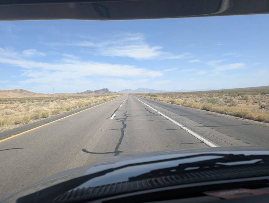
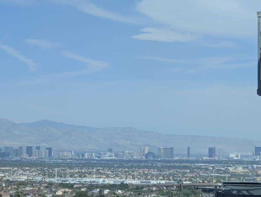
The road ran south from the Grand Canyon and then west along the interstate, with about 150 miles to cover to the Kingman area. We made one short stop there, of about ten minutes, then took US-93 north, through a long, empty, flat stretch of desert, with the road running straight to the horizon. Somewhere past it the road crests a hill, and the whole of Las Vegas lies below, small and hazy against a ridge of mountains.
Returning the flagship
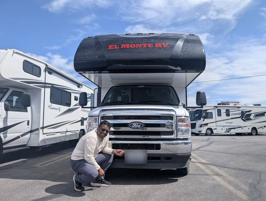
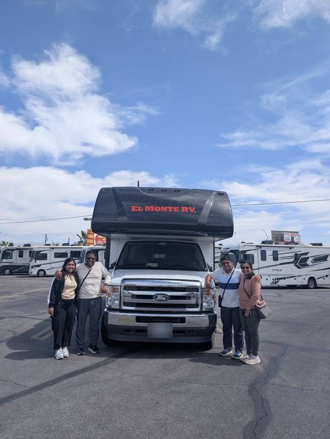
We reached the depot a little after the deadline, and the handover was very smooth. In the photographs the flagship stands in the lot among the other motorhomes under a blue sky, with the four of us posing in front of it for the last time and one of us crouching at its front bumper with a smile. The licence plates are blurred in the pictures. It was a 28-foot rental motorhome that carried the four of us for twelve days, from rain in Wyoming to a tunnel in Zion.
That closes the RV chapter of the trip. The whole RV experience, from why we chose a motorhome to what the twelve days cost, has its own post: A New Hope.
Plan against reality
| Day | Route | Miles: plan / tracked | What the plan said / what happened |
|---|---|---|---|
| 6 June | Zion to Grand Canyon South Rim | 253 / ~227 (with gaps) | Plan: dam overlook, Walmart groceries, Horseshoe Bend, Desert View Drive viewpoints, fuel near the canyon. Actual: dam overlook, Walmart (fuel, groceries and lunch), Horseshoe Bend, Desert View and Grandview; no photographs at Moran, Lipan or Navajo Points. |
| 7 June | Around the South Rim | 0 / ~3 | Plan: sunrise at Mather Point, then Hermit Road viewpoints. Actual: the rim by mid-morning, Hermit Road, sunset at Mather Point and the Star Party; no photographs of a sunrise. |
| 8 June | Grand Canyon to Las Vegas | 275 / ~279 | Plan: leave early, Hoover Dam, dump the tanks, fuel, return by 11. Actual: left an hour early because the return was brought forward to 10, a short stop near Kingman, a fill-up in Las Vegas before the return, handed over a little after ten; no record of Hoover Dam or a dump station. |
Tracked miles come from our phones’ location history, which is a good guide to the route and a poor one to exact distances.
Next: Part 5: A New Hope, the verdict